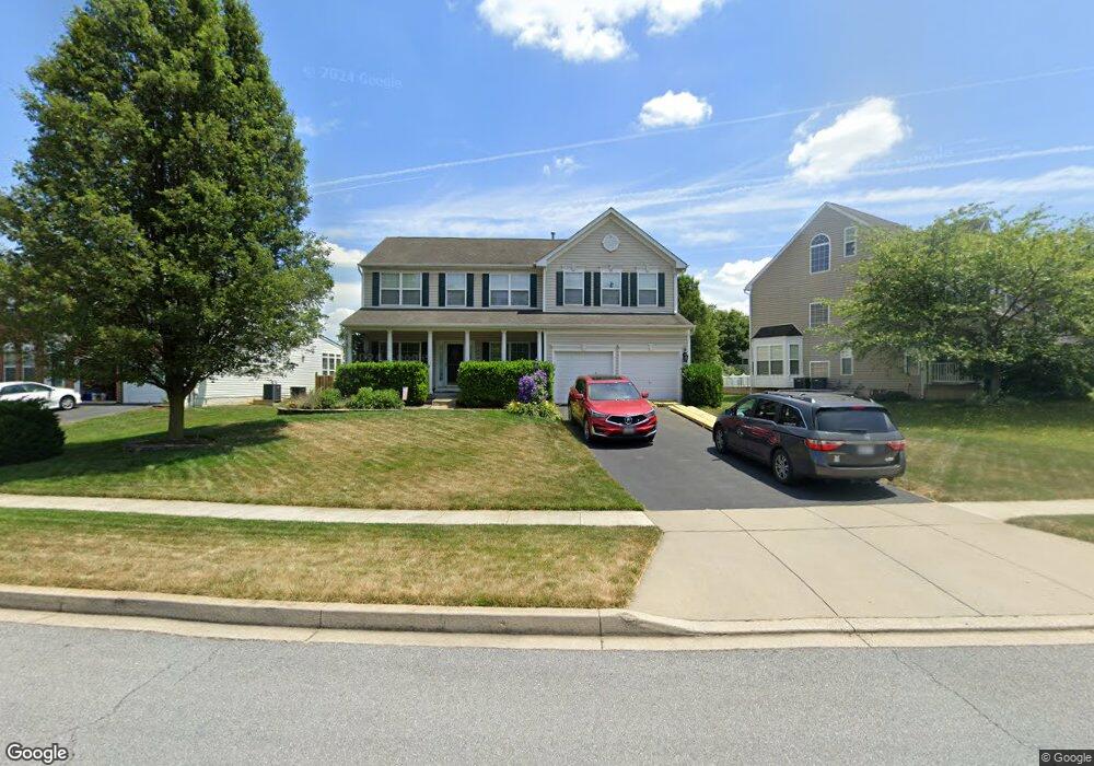
206 Polaris Dr Walkersville, MD 21793
Estimated Value: $623,052 - $694,000
--
Bed
3
Baths
3,204
Sq Ft
$206/Sq Ft
Est. Value
About This Home
This home is located at 206 Polaris Dr, Walkersville, MD 21793 and is currently estimated at $661,513, approximately $206 per square foot. 206 Polaris Dr is a home located in Frederick County with nearby schools including Glade Elementary School, Walkersville Middle School, and Walkersville High School.
Ownership History
Date
Name
Owned For
Owner Type
Purchase Details
Closed on
Jul 10, 2006
Sold by
K Hovnanian Homes Of Md Llc
Bought by
Sims Richard D and Sims Christina D
Current Estimated Value
Home Financials for this Owner
Home Financials are based on the most recent Mortgage that was taken out on this home.
Original Mortgage
$360,000
Outstanding Balance
$214,431
Interest Rate
6.71%
Mortgage Type
Purchase Money Mortgage
Estimated Equity
$447,082
Purchase Details
Closed on
Jun 27, 2006
Sold by
K Hovnanian Homes Of Md Llc
Bought by
Sims Richard D and Sims Christina D
Home Financials for this Owner
Home Financials are based on the most recent Mortgage that was taken out on this home.
Original Mortgage
$360,000
Outstanding Balance
$214,431
Interest Rate
6.71%
Mortgage Type
Purchase Money Mortgage
Estimated Equity
$447,082
Purchase Details
Closed on
May 9, 2005
Sold by
Roderuck Harold E and Roderuck Ruth E
Bought by
K Hovnanian Homes Of Md Llc
Create a Home Valuation Report for This Property
The Home Valuation Report is an in-depth analysis detailing your home's value as well as a comparison with similar homes in the area
Home Values in the Area
Average Home Value in this Area
Purchase History
| Date | Buyer | Sale Price | Title Company |
|---|---|---|---|
| Sims Richard D | $571,189 | -- | |
| Sims Richard D | $571,189 | -- | |
| K Hovnanian Homes Of Md Llc | $297,000 | -- |
Source: Public Records
Mortgage History
| Date | Status | Borrower | Loan Amount |
|---|---|---|---|
| Open | Sims Richard D | $360,000 | |
| Closed | Sims Richard D | $360,000 |
Source: Public Records
Tax History Compared to Growth
Tax History
| Year | Tax Paid | Tax Assessment Tax Assessment Total Assessment is a certain percentage of the fair market value that is determined by local assessors to be the total taxable value of land and additions on the property. | Land | Improvement |
|---|---|---|---|---|
| 2025 | $6,617 | $549,300 | $115,300 | $434,000 |
| 2024 | $6,617 | $510,633 | $0 | $0 |
| 2023 | $6,045 | $471,967 | $0 | $0 |
| 2022 | $5,773 | $433,300 | $87,300 | $346,000 |
| 2021 | $5,491 | $421,500 | $0 | $0 |
| 2020 | $5,414 | $409,700 | $0 | $0 |
| 2019 | $5,339 | $397,900 | $77,300 | $320,600 |
| 2018 | $5,363 | $396,000 | $0 | $0 |
| 2017 | $5,289 | $397,900 | $0 | $0 |
| 2016 | $4,618 | $392,200 | $0 | $0 |
| 2015 | $4,618 | $378,867 | $0 | $0 |
| 2014 | $4,618 | $365,533 | $0 | $0 |
Source: Public Records
Map
Nearby Homes
- 101 Grantham Ct
- 3 W George St
- 9403 Erin Ave
- 9401 Daysville Ave
- 29 Fulton Ave
- 216 Burlington Ave
- 132 Savannah Ct
- 15 W Frederick St
- 213 Albany Ave W
- 122 Sandalwood Ct
- 4 Maple Ave
- 37 Challenger Ct
- 105 Albany Ave E
- 102 Glade Blvd
- 8803 Biggs Ford Rd
- 324 Braeburn Ct
- 2805 Raleigh Rd
- 207 Bellgate Ct
- 8806 Adventure Ave
- 8305 Biggs Ford Rd
- 208 Polaris Dr
- 210 Polaris Dr
- 202 Polaris Dr
- 105 Bedrock Dr
- 207 Polaris Dr
- 212 Polaris Dr
- 209 Polaris Dr
- 103 Bedrock Dr
- 107 Bedrock Dr
- 20 Glade Rd
- 211 Polaris Dr
- 205 Polaris Dr
- 214 Polaris Dr
- 203 Polaris Dr
- 109 Bedrock Dr
- 101 Bedrock Dr
- 164 Polaris Dr Unit RD213
- 164 Polaris Dr
- 216 Polaris Dr
- 215 Polaris Dr