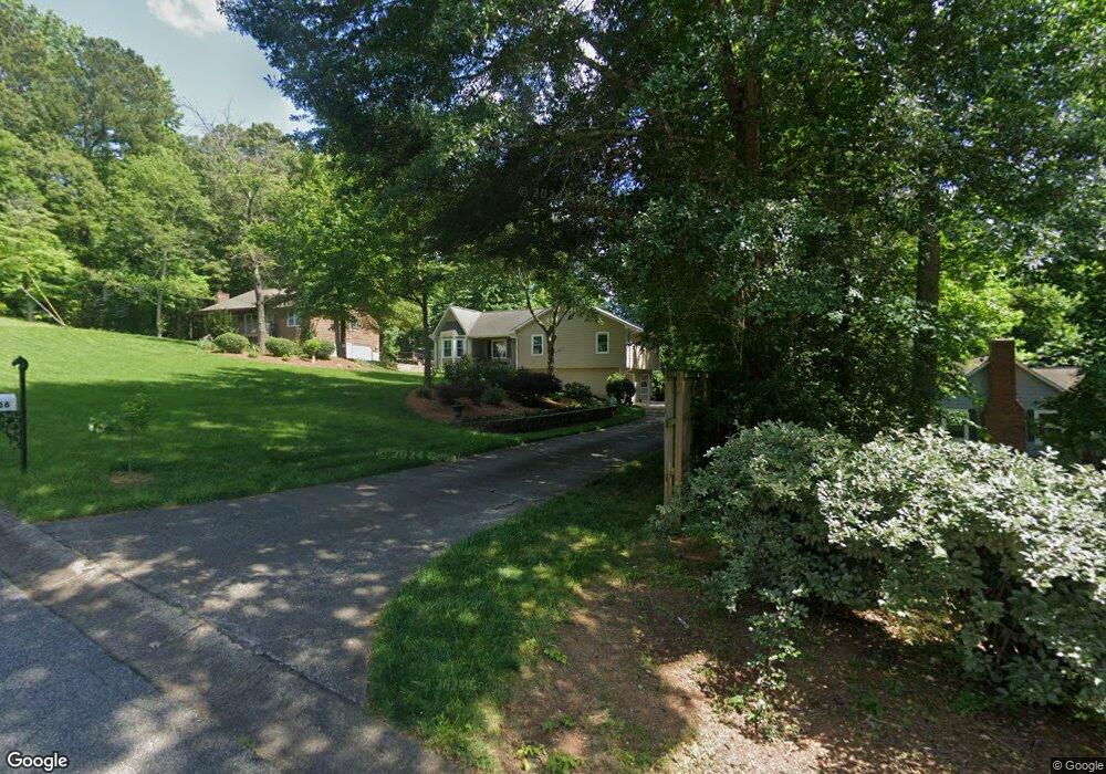
206 Prissy Ln Woodstock, GA 30188
Union Hill NeighborhoodEstimated Value: $400,405 - $432,000
4
Beds
3
Baths
2,056
Sq Ft
$202/Sq Ft
Est. Value
About This Home
This home is located at 206 Prissy Ln, Woodstock, GA 30188 and is currently estimated at $416,203, approximately $202 per square foot. 206 Prissy Ln is a home located in Cherokee County with nearby schools including Arnold Mill Elementary School, Mill Creek Middle School, and River Ridge High School.
Ownership History
Date
Name
Owned For
Owner Type
Purchase Details
Closed on
Aug 6, 2010
Sold by
Secretary Of Veterans Affairs
Bought by
Moran Adelso M
Current Estimated Value
Purchase Details
Closed on
May 4, 2010
Sold by
Wells Fargo Bk Na
Bought by
Secretary Of Veterans Affairs
Purchase Details
Closed on
May 26, 1999
Sold by
Cornett William and Cornett Dorothy
Bought by
Tanner Jerry S and Tanner Anji
Home Financials for this Owner
Home Financials are based on the most recent Mortgage that was taken out on this home.
Original Mortgage
$129,265
Interest Rate
7.43%
Mortgage Type
VA
Purchase Details
Closed on
Sep 8, 1995
Sold by
Hampton Michael K Kim
Bought by
Cornett William Dorothy
Create a Home Valuation Report for This Property
The Home Valuation Report is an in-depth analysis detailing your home's value as well as a comparison with similar homes in the area
Home Values in the Area
Average Home Value in this Area
Purchase History
| Date | Buyer | Sale Price | Title Company |
|---|---|---|---|
| Moran Adelso M | $76,500 | -- | |
| Secretary Of Veterans Affairs | -- | -- | |
| Wells Fargo Bk Na | $76,673 | -- | |
| Tanner Jerry S | $125,500 | -- | |
| Cornett William Dorothy | $91,000 | -- |
Source: Public Records
Mortgage History
| Date | Status | Borrower | Loan Amount |
|---|---|---|---|
| Previous Owner | Tanner Jerry S | $129,265 | |
| Closed | Cornett William Dorothy | $0 |
Source: Public Records
Tax History Compared to Growth
Tax History
| Year | Tax Paid | Tax Assessment Tax Assessment Total Assessment is a certain percentage of the fair market value that is determined by local assessors to be the total taxable value of land and additions on the property. | Land | Improvement |
|---|---|---|---|---|
| 2024 | $3,749 | $144,256 | $28,800 | $115,456 |
| 2023 | $3,586 | $137,976 | $25,600 | $112,376 |
| 2022 | $2,986 | $113,616 | $26,000 | $87,616 |
| 2021 | $2,536 | $89,336 | $16,000 | $73,336 |
| 2020 | $1,872 | $65,896 | $12,000 | $53,896 |
| 2019 | $1,715 | $60,360 | $12,000 | $48,360 |
| 2018 | $1,698 | $59,400 | $14,400 | $45,000 |
| 2017 | $1,612 | $139,900 | $14,400 | $41,560 |
| 2016 | $1,368 | $117,500 | $10,000 | $37,000 |
| 2015 | $1,615 | $137,300 | $12,800 | $42,120 |
| 2014 | $1,381 | $117,200 | $12,000 | $34,880 |
Source: Public Records
Map
Nearby Homes
- 0 O Hara Dr Unit 8443973
- 0 O Hara Dr Unit 6064833
- 499 Bishop Ln
- 2875 Trickum Rd
- 217 Sweetbriar Club Dr
- 112 Sunnybrook Ln
- 230 Haleys Ct
- 120 Sweetbriar Farm Rd
- 129 Haleys Cir
- 104 River Creek Dr
- 303 Council Bluff
- 2011 Meadows Dr Unit VI
- 707 Evans St
- 2007 Meadows Dr
- 405 Waterfront Ct
- 106 Thornwood Dr
- 711 Woodbridge Dr