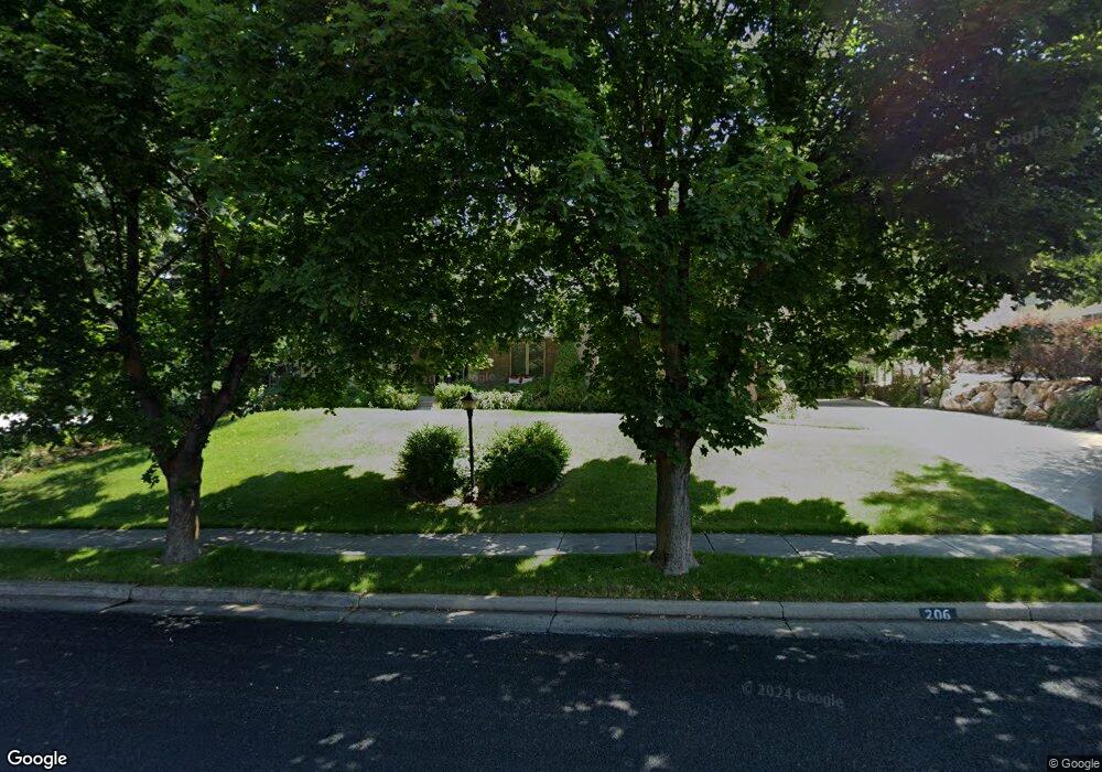
206 Quail Way Logan, UT 84321
Wilson NeighborhoodEstimated Value: $619,000 - $708,000
6
Beds
3
Baths
4,250
Sq Ft
$158/Sq Ft
Est. Value
About This Home
This home is located at 206 Quail Way, Logan, UT 84321 and is currently estimated at $670,524, approximately $157 per square foot. 206 Quail Way is a home located in Cache County with nearby schools including Wilson School, Mount Logan Middle School, and Logan High School.
Ownership History
Date
Name
Owned For
Owner Type
Purchase Details
Closed on
Sep 21, 2022
Sold by
Dryden John M and Dryden Gloria H
Bought by
John M And Gloria H Dryden Living Trust
Current Estimated Value
Purchase Details
Closed on
Oct 26, 2015
Sold by
Nielsen Cynthia R
Bought by
Dryden John M and Dryden Gloria H
Home Financials for this Owner
Home Financials are based on the most recent Mortgage that was taken out on this home.
Original Mortgage
$171,000
Interest Rate
3.87%
Mortgage Type
New Conventional
Purchase Details
Closed on
Feb 29, 2012
Sold by
Nielsen Cynthia R
Bought by
Nielsen Cynthia R
Purchase Details
Closed on
Mar 10, 2011
Sold by
Seamons Cindy and Nielsen Cynthia R
Bought by
Nielsen Cynthia R
Purchase Details
Closed on
Jan 19, 2006
Sold by
Munson Steven T and Munson Vickie R
Bought by
Seamons Cindy
Create a Home Valuation Report for This Property
The Home Valuation Report is an in-depth analysis detailing your home's value as well as a comparison with similar homes in the area
Home Values in the Area
Average Home Value in this Area
Purchase History
| Date | Buyer | Sale Price | Title Company |
|---|---|---|---|
| John M And Gloria H Dryden Living Trust | -- | -- | |
| Dryden John M | -- | Cache Title Logan | |
| Nielsen Cynthia R | -- | Cache Title Company | |
| Nielsen Cynthia R | -- | Cache Title Company | |
| Seamons Cindy | -- | Cache Title Company |
Source: Public Records
Mortgage History
| Date | Status | Borrower | Loan Amount |
|---|---|---|---|
| Previous Owner | Dryden John M | $171,000 |
Source: Public Records
Tax History
| Year | Tax Paid | Tax Assessment Tax Assessment Total Assessment is a certain percentage of the fair market value that is determined by local assessors to be the total taxable value of land and additions on the property. | Land | Improvement |
|---|---|---|---|---|
| 2025 | $3,003 | $388,345 | $0 | $0 |
| 2024 | $3,106 | $389,135 | $0 | $0 |
| 2023 | $3,239 | $386,805 | $0 | $0 |
| 2022 | $3,088 | $344,265 | $0 | $0 |
| 2021 | $301 | $518,595 | $89,250 | $429,345 |
| 2020 | $2,586 | $400,820 | $89,250 | $311,570 |
| 2019 | $2,702 | $400,819 | $89,250 | $311,569 |
| 2018 | $2,660 | $360,180 | $89,250 | $270,930 |
| 2017 | $2,464 | $176,440 | $0 | $0 |
| 2016 | $2,555 | $176,440 | $0 | $0 |
| 2015 | $2,543 | $175,395 | $0 | $0 |
| 2014 | $2,298 | $175,395 | $0 | $0 |
| 2013 | -- | $175,395 | $0 | $0 |
Source: Public Records
Map
Nearby Homes
- 1374 E 260 N
- 1387 E 260 N
- 1535 Sumac Dr
- 147 Winding Way Unit 50
- 128 S 1170 E
- 1034 Thrushwood Dr
- 1147 Eastridge Dr
- 1045 Fox Farm Rd
- 1647 E Quail Canyon Dr
- 74 Canterbury Cir
- 1164 E Mountain Rd
- 1374 Maple Dr
- 28 River Pointe Dr
- 70 River Pointe Dr
- 825 N 1400 E
- 2758 N Canyon Cove Dr
- 2738 N Canyon Cove Dr
- 866 Hillcrest Ave
- 684 Apple Dr
- 622 Canyon Rd
Your Personal Tour Guide
Ask me questions while you tour the home.