206 Rickard Ln Iron Station, NC 28080
Estimated Value: $325,000 - $383,000
3
Beds
2
Baths
1,600
Sq Ft
$216/Sq Ft
Est. Value
About This Home
This home is located at 206 Rickard Ln, Iron Station, NC 28080 and is currently estimated at $345,596, approximately $215 per square foot. 206 Rickard Ln is a home located in Lincoln County with nearby schools including Iron Station Elementary School, East Lincoln Middle School, and East Lincoln High School.
Ownership History
Date
Name
Owned For
Owner Type
Purchase Details
Closed on
Jan 19, 2021
Sold by
D R Horton Inc
Bought by
Pressley Marc Dwayne and Fox Matthew Daniel
Current Estimated Value
Home Financials for this Owner
Home Financials are based on the most recent Mortgage that was taken out on this home.
Original Mortgage
$309,099
Outstanding Balance
$275,872
Interest Rate
2.71%
Mortgage Type
New Conventional
Estimated Equity
$69,724
Purchase Details
Closed on
Mar 16, 2015
Sold by
Rickard Nancy
Bought by
Rickard Mark Anthony
Create a Home Valuation Report for This Property
The Home Valuation Report is an in-depth analysis detailing your home's value as well as a comparison with similar homes in the area
Home Values in the Area
Average Home Value in this Area
Purchase History
| Date | Buyer | Sale Price | Title Company |
|---|---|---|---|
| Pressley Marc Dwayne | $325,500 | Dhi Title | |
| Rickard Mark Anthony | -- | None Available |
Source: Public Records
Mortgage History
| Date | Status | Borrower | Loan Amount |
|---|---|---|---|
| Open | Pressley Marc Dwayne | $309,099 |
Source: Public Records
Tax History Compared to Growth
Tax History
| Year | Tax Paid | Tax Assessment Tax Assessment Total Assessment is a certain percentage of the fair market value that is determined by local assessors to be the total taxable value of land and additions on the property. | Land | Improvement |
|---|---|---|---|---|
| 2025 | $1,999 | $297,967 | $37,213 | $260,754 |
| 2024 | $1,979 | $297,967 | $37,213 | $260,754 |
| 2023 | $1,974 | $297,967 | $37,213 | $260,754 |
| 2022 | $1,415 | $174,673 | $27,824 | $146,849 |
| 2021 | $1,415 | $174,673 | $27,824 | $146,849 |
| 2020 | $1,265 | $174,673 | $27,824 | $146,849 |
| 2019 | $1,230 | $174,673 | $27,824 | $146,849 |
| 2018 | $1,143 | $145,560 | $26,374 | $119,186 |
| 2017 | $1,035 | $145,560 | $26,374 | $119,186 |
| 2016 | $1,035 | $145,560 | $26,374 | $119,186 |
| 2015 | $1,092 | $0 | $0 | $0 |
| 2014 | $1,124 | $150,746 | $25,853 | $124,893 |
Source: Public Records
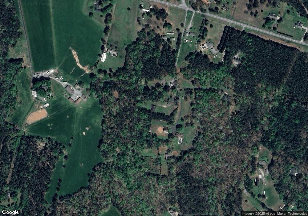
Map
Nearby Homes
- 000 N Carolina 73
- 1894 N Carolina 73
- 341 Camp Creek Rd
- 429 Link Dr
- 00 Southmont Rd
- 3132 Fox Den Cir
- 3164 Andrew Link Rd
- Lot 6 Walnut Ridge Rd Unit 6
- 00 Timber Rd
- 1481 Depot St
- 375 Timber Rd
- 1554 Forum Ln
- 1011 Lester Trail
- 1279 Craig Dr
- 3960 Orchard Rd
- 575 Hill Rd
- 1404 Old Mill Rd
- 1076 Furnace Rd
- 370 Sherrill Farm Rd
- 1448 Weatherwood Dr
- 174 Rickard Ln
- 229 Rickard Ln
- 2076 Highway 73
- 2128 Nc 73 Hwy
- 177 Rickard Ln
- 2150 Highway 73
- 2174 Highway 73
- 2182 Nc 73 Hwy
- 362 Low Bridge Rd
- 231 Will Link Ln
- 2113 Highway 73
- 2113 N Carolina 73
- 2048 Highway 73
- 2157 Highway 73
- 308 Low Bridge Rd
- 304 Low Bridge Rd
- 137 Camp Creek Rd
- 128 Camp Creek Rd
- 0 Spring Lake Dr
- 149 Camp Creek Rd Unit 103