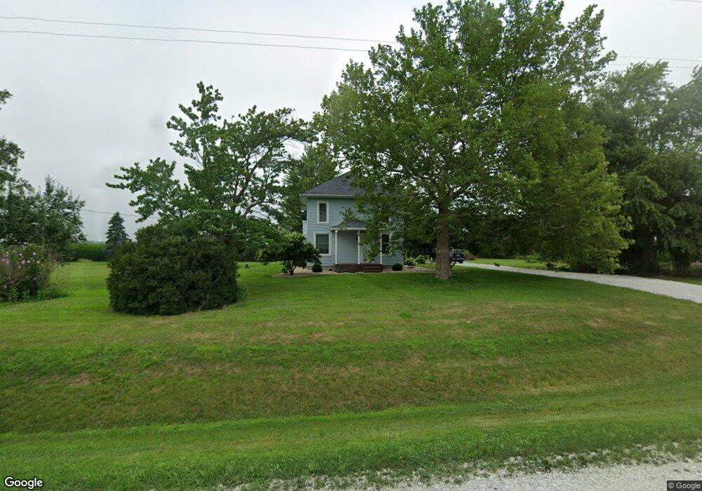
206 Rr 1 Stronghurst, IL 61480
Estimated Value: $63,000 - $139,281
--
Bed
--
Bath
2,196
Sq Ft
$48/Sq Ft
Est. Value
About This Home
This home is located at 206 Rr 1, Stronghurst, IL 61480 and is currently estimated at $104,427, approximately $47 per square foot. 206 Rr 1 is a home located in Henderson County with nearby schools including West Central Elementary School and West Central High School.
Create a Home Valuation Report for This Property
The Home Valuation Report is an in-depth analysis detailing your home's value as well as a comparison with similar homes in the area
Home Values in the Area
Average Home Value in this Area
Tax History Compared to Growth
Tax History
| Year | Tax Paid | Tax Assessment Tax Assessment Total Assessment is a certain percentage of the fair market value that is determined by local assessors to be the total taxable value of land and additions on the property. | Land | Improvement |
|---|---|---|---|---|
| 2024 | $945 | $34,333 | $7,755 | $26,578 |
| 2023 | $974 | $32,138 | $7,259 | $24,879 |
| 2022 | $988 | $30,545 | $7,775 | $22,770 |
| 2021 | $1,033 | $28,903 | $7,357 | $21,546 |
| 2020 | $1,073 | $28,189 | $7,175 | $21,014 |
| 2019 | $1,083 | $27,910 | $7,104 | $20,806 |
| 2018 | $1,085 | $25,533 | $7,996 | $17,537 |
| 2017 | $1,456 | $25,533 | $7,996 | $17,537 |
| 2016 | $1,368 | $23,719 | $7,428 | $16,291 |
| 2015 | -- | $23,179 | $7,259 | $15,920 |
| 2014 | -- | $22,053 | $3,952 | $18,101 |
| 2010 | -- | $22,163 | $3,987 | $18,176 |
Source: Public Records
Map
Nearby Homes
- 202 E Maple St
- 305 N Cooper St
- 702 W Maple St
- 1229 Township Road 1800e
- 1060 Centennial Ave
- 208 W Washington St
- 209 E Main St
- 305 E Division St
- 114 Oak St
- 110 Oak St
- 1000 Ellison Creek Rd
- 0 Carman Rd
- 792 Water St N
- 166 State Highway 94
- 419 Crane Hill Rd
- 225 E Cherry St
- 315 N Harding St
- 125 E Spruce St
- 11 Cascade Terrace
- 4 Cascade Terrace