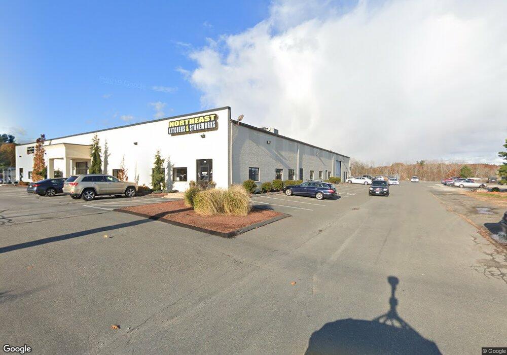
206 S Main St Middleton, MA 01949
Studio
--
Bath
39,612
Sq Ft
107,158
Sq Ft Lot
About This Home
This home is located at 206 S Main St, Middleton, MA 01949. 206 S Main St is a home located in Essex County with nearby schools including Howe-Manning Elementary School, Fuller Meadow Elementary School, and Masconomet Regional Middle School.
Ownership History
Date
Name
Owned For
Owner Type
Purchase Details
Closed on
Nov 28, 2012
Sold by
Jes 2 Rt
Bought by
206 S Main Street Llc
Home Financials for this Owner
Home Financials are based on the most recent Mortgage that was taken out on this home.
Original Mortgage
$2,250,000
Outstanding Balance
$1,561,084
Interest Rate
3.4%
Mortgage Type
Commercial
Create a Home Valuation Report for This Property
The Home Valuation Report is an in-depth analysis detailing your home's value as well as a comparison with similar homes in the area
Home Values in the Area
Average Home Value in this Area
Purchase History
| Date | Buyer | Sale Price | Title Company |
|---|---|---|---|
| 206 S Main Street Llc | $2,200,000 | -- | |
| 206 S Main Street Llc | $2,200,000 | -- |
Source: Public Records
Mortgage History
| Date | Status | Borrower | Loan Amount |
|---|---|---|---|
| Open | 206 S Main Street Llc | $2,250,000 | |
| Closed | 206 S Main Street Llc | $2,250,000 |
Source: Public Records
Tax History
| Year | Tax Paid | Tax Assessment Tax Assessment Total Assessment is a certain percentage of the fair market value that is determined by local assessors to be the total taxable value of land and additions on the property. | Land | Improvement |
|---|---|---|---|---|
| 2025 | $50,918 | $4,282,400 | $2,443,200 | $1,839,200 |
| 2024 | $48,668 | $4,127,900 | $2,378,900 | $1,749,000 |
| 2023 | $48,987 | $3,806,300 | $2,164,600 | $1,641,700 |
| 2022 | $46,046 | $3,475,200 | $1,971,700 | $1,503,500 |
| 2021 | $43,582 | $3,176,500 | $1,886,000 | $1,290,500 |
| 2020 | $43,431 | $3,188,800 | $1,886,000 | $1,302,800 |
| 2019 | $39,411 | $2,878,800 | $1,564,500 | $1,314,300 |
| 2018 | $39,560 | $2,833,800 | $1,508,800 | $1,325,000 |
| 2017 | $37,792 | $2,709,100 | $1,371,600 | $1,337,500 |
| 2016 | $36,589 | $2,634,200 | $1,285,900 | $1,348,300 |
| 2015 | $36,472 | $2,646,700 | $1,285,900 | $1,360,800 |
Source: Public Records
Map
Nearby Homes
- 1 Mills Point Unit 1
- 19 Peachey Cir
- 2 Tyler Ln
- 10 Oak St
- 15 Rowell Ln Unit 15
- 47 Maple St Unit A
- 1 Couture Way
- 12 Couture Way
- 6 Cabral Dr
- 7 James Ave
- 6 White Ln
- 40 Glen Dr
- 98 Newbury St Unit 18B
- 98 Newbury St Unit 23B
- 103 Newbury St Unit 1
- 2 Wedge Ct Unit 2
- 23 Hamilton Rd
- 24 Worcester Rd
- 14 Niblick Way
- 11 James Coffin Way Unit 11
- 206 S Main St Unit 8
- 206 S Main St Unit 3
- 194 S Main St
- 123 Main - Confidential
- 205 S Main St
- 209 S Main St
- 209 S Main St Unit 3
- 209 S Main St Unit 2
- 211 S Main St
- 3 Forms Way Unit 2
- 191 S Main St Unit 104
- 191 S Main St
- 191 S Main St Unit 1-9
- 189 S Main St Unit 104
- 189 S Main St
- 4 Forms Way
- 4 Forms Way
- 4 Forms Way Unit 4
- 181 S Main St
- 181 S Main St Unit B
Your Personal Tour Guide
Ask me questions while you tour the home.