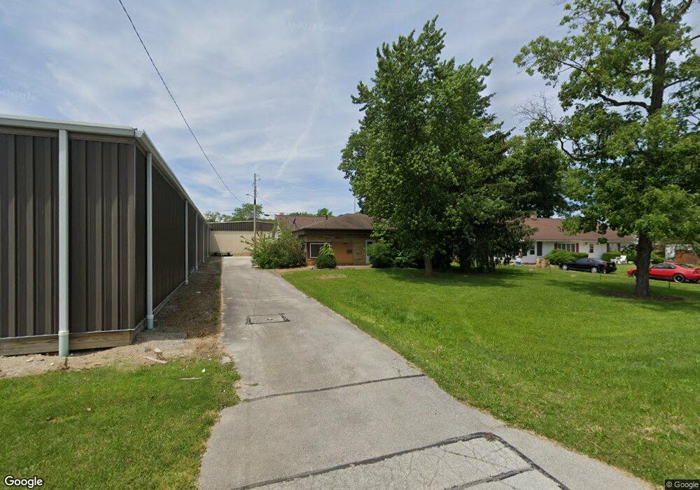
206 S Taft Ave Fremont, OH 43420
Estimated Value: $115,000 - $146,000
2
Beds
1
Bath
1,110
Sq Ft
$114/Sq Ft
Est. Value
About This Home
This home is located at 206 S Taft Ave, Fremont, OH 43420 and is currently estimated at $127,030, approximately $114 per square foot. 206 S Taft Ave is a home located in Sandusky County with nearby schools including Fremont Ross High School, St. Joseph School, and Bishop Hoffman Catholic School - This is St Joe's School now.
Ownership History
Date
Name
Owned For
Owner Type
Purchase Details
Closed on
May 16, 2000
Sold by
Haslinger Philip S
Bought by
Tabery Mark R
Current Estimated Value
Home Financials for this Owner
Home Financials are based on the most recent Mortgage that was taken out on this home.
Original Mortgage
$46,000
Interest Rate
8.26%
Mortgage Type
New Conventional
Purchase Details
Closed on
Feb 1, 1983
Bought by
Tabery Mark R
Create a Home Valuation Report for This Property
The Home Valuation Report is an in-depth analysis detailing your home's value as well as a comparison with similar homes in the area
Home Values in the Area
Average Home Value in this Area
Purchase History
| Date | Buyer | Sale Price | Title Company |
|---|---|---|---|
| Tabery Mark R | $57,500 | -- | |
| Tabery Mark R | $25,000 | -- |
Source: Public Records
Mortgage History
| Date | Status | Borrower | Loan Amount |
|---|---|---|---|
| Closed | Tabery Mark R | $46,000 |
Source: Public Records
Tax History Compared to Growth
Tax History
| Year | Tax Paid | Tax Assessment Tax Assessment Total Assessment is a certain percentage of the fair market value that is determined by local assessors to be the total taxable value of land and additions on the property. | Land | Improvement |
|---|---|---|---|---|
| 2024 | $1,355 | $36,790 | $9,800 | $26,990 |
| 2023 | $1,355 | $29,190 | $7,770 | $21,420 |
| 2022 | $1,130 | $29,190 | $7,770 | $21,420 |
| 2021 | $1,166 | $29,190 | $7,770 | $21,420 |
| 2020 | $1,169 | $28,810 | $7,770 | $21,040 |
| 2019 | $1,167 | $28,810 | $7,770 | $21,040 |
| 2018 | $1,193 | $29,860 | $7,770 | $22,090 |
| 2017 | $1,173 | $28,810 | $7,770 | $21,040 |
| 2016 | $1,029 | $28,810 | $7,770 | $21,040 |
| 2015 | $1,011 | $28,810 | $7,770 | $21,040 |
| 2014 | $1,073 | $29,130 | $7,740 | $21,390 |
| 2013 | $1,049 | $29,130 | $7,740 | $21,390 |
Source: Public Records
Map
Nearby Homes
- 1611 Mcpherson Blvd
- 2119 Lake St
- 515 Everett Rd
- 1037 Buckland Ave
- 880 Cleveland Ave
- 1009 Napoleon St
- 1015 Hayes Ave
- 1823 W State St
- 1719 Buckland Ave
- 1485 Autumn Woods Dr
- 1028 June St
- 816 Lime St
- 501 Jackson St Unit 50
- 818 Franklin Ave
- 616 S Wood St
- 815 South St
- 619 Hayes Ave
- 1120 Carbon St
- 1013 Whittlesey St
- 905 Twinn St
- 204 S Taft Ave
- 132 S Taft Ave
- 124 S Taft Ave
- 147 S Taft Ave
- 122 S Taft Ave
- 122 N Taft Ave
- 122 N Taft Ave
- 133 S Taft Ave Unit 135
- 127 S Taft Ave
- 118 S Taft Ave
- 114 N Taft Ave
- 114 S Taft Ave
- 119 S Taft Ave
- 208 S Granville Blvd
- 202 S Granville Blvd
- 115 N Taft Ave
- 200 S Granville Blvd
- 115 S Taft Ave
- 128 S Granville Blvd
- 108 N Taft Ave