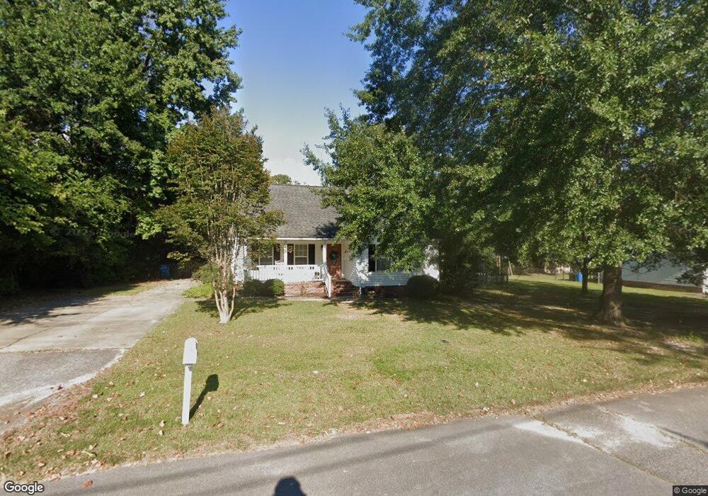
206 Sandel Ln West Columbia, SC 29169
Estimated Value: $224,000 - $244,000
3
Beds
2
Baths
1,307
Sq Ft
$176/Sq Ft
Est. Value
About This Home
This home is located at 206 Sandel Ln, West Columbia, SC 29169 and is currently estimated at $230,608, approximately $176 per square foot. 206 Sandel Ln is a home located in Lexington County with nearby schools including Riverbank Elementary, Northside Middle, and Brookland-Cayce High School.
Ownership History
Date
Name
Owned For
Owner Type
Purchase Details
Closed on
Feb 26, 2018
Sold by
Cummings Laurie A and Baggott Laurie A
Bought by
Snedecor Sarah C
Current Estimated Value
Home Financials for this Owner
Home Financials are based on the most recent Mortgage that was taken out on this home.
Original Mortgage
$135,000
Outstanding Balance
$114,737
Interest Rate
4.04%
Mortgage Type
New Conventional
Estimated Equity
$115,871
Purchase Details
Closed on
Nov 4, 2004
Sold by
Crout Keith F and Ward Sidney
Bought by
Baggott Laurie A
Purchase Details
Closed on
Aug 28, 2003
Sold by
Dacko Mike A
Bought by
Crout Keith F
Create a Home Valuation Report for This Property
The Home Valuation Report is an in-depth analysis detailing your home's value as well as a comparison with similar homes in the area
Home Values in the Area
Average Home Value in this Area
Purchase History
| Date | Buyer | Sale Price | Title Company |
|---|---|---|---|
| Snedecor Sarah C | $135,000 | None Available | |
| Baggott Laurie A | $136,900 | -- | |
| Crout Keith F | $22,000 | -- |
Source: Public Records
Mortgage History
| Date | Status | Borrower | Loan Amount |
|---|---|---|---|
| Open | Snedecor Sarah C | $135,000 |
Source: Public Records
Tax History Compared to Growth
Tax History
| Year | Tax Paid | Tax Assessment Tax Assessment Total Assessment is a certain percentage of the fair market value that is determined by local assessors to be the total taxable value of land and additions on the property. | Land | Improvement |
|---|---|---|---|---|
| 2024 | $1,144 | $5,400 | $1,400 | $4,000 |
| 2023 | $1,032 | $5,400 | $1,400 | $4,000 |
| 2022 | $1,042 | $5,400 | $1,400 | $4,000 |
| 2020 | $1,001 | $5,400 | $1,400 | $4,000 |
| 2019 | $1,021 | $5,400 | $1,400 | $4,000 |
| 2018 | $1,029 | $5,394 | $1,400 | $3,994 |
| 2017 | $1,005 | $5,478 | $1,400 | $4,078 |
| 2016 | $1,034 | $5,478 | $1,400 | $4,078 |
| 2014 | $817 | $5,701 | $1,400 | $4,301 |
| 2013 | -- | $5,700 | $1,400 | $4,300 |
Source: Public Records
Map
Nearby Homes
- 215 Sandel Ln
- 207 Woodhaven Dr
- 2004 Dew Ave
- 0 Platt Springs Rd Unit 606355
- 623 Hook Ave
- 339 Gum Swamp Trail
- 349 Gum Swamp Trail
- 116 Silver Run Place
- 135 Silver Run Place
- 165 Cavendish Dr
- 212 Alexandria St
- 529 Finnegan Ln
- 500 Finnegan Ln
- 309 Hammond Ave
- 913 Harper Rose Ct
- 1802 D Ave
- 106 Earl Ct
- 617 Holland Cir
- 1615 Holland St
- 1734 C Ave
- 201 1/2 Woodhaven Dr
- 201 Woodhaven Dr
- 208 Sandel Ln
- 204 Sandel Ln
- 213 Sandel Ln
- 209 Sandel Ln
- 115 Woodhaven Dr
- 200 Woodhaven Dr
- 202 Woodhaven Dr
- 210 Sandel Ln
- 109 Menscer Dr
- 205 Sandel Ln
- 204 Woodhaven Dr
- 121 Menscer Dr
- 107 Woodhaven Dr
- 114 Woodhaven Dr
- 2109 Holland St
- 206 Woodhaven Dr
- 2107 Holland St
- 2113 Holland St