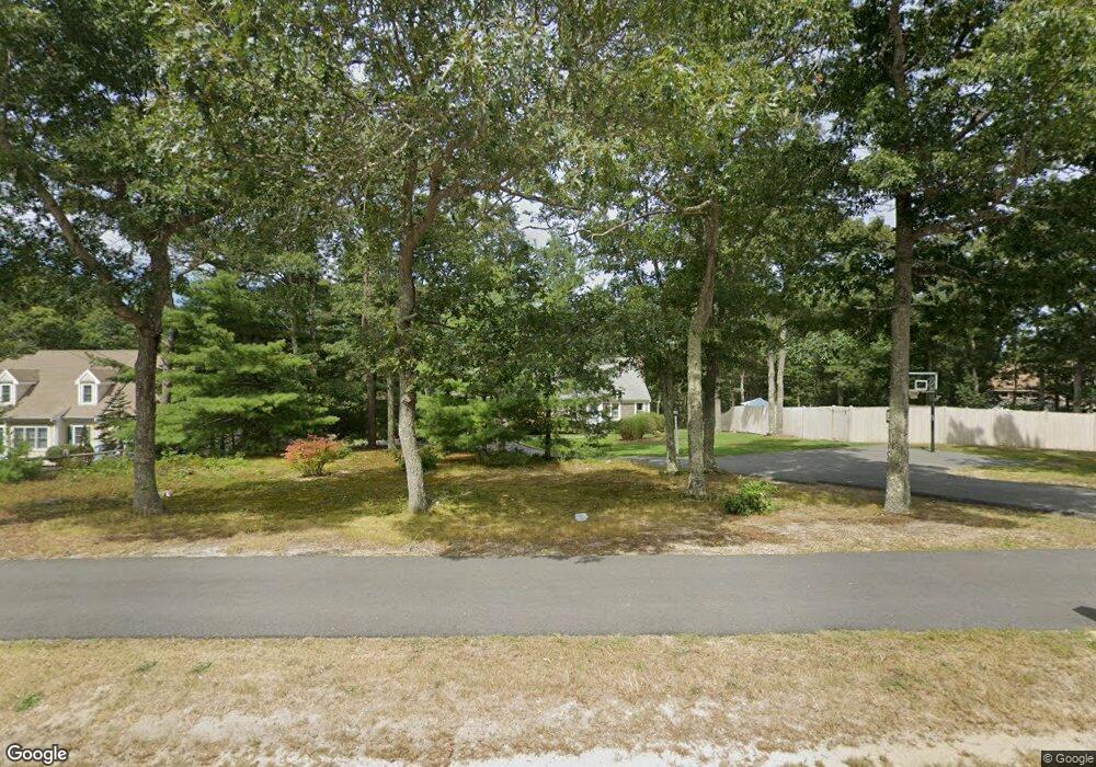
206 Setucket Rd South Dennis, MA 02660
Dennis Village NeighborhoodEstimated Value: $642,000 - $862,000
3
Beds
2
Baths
1,848
Sq Ft
$420/Sq Ft
Est. Value
About This Home
This home is located at 206 Setucket Rd, South Dennis, MA 02660 and is currently estimated at $776,033, approximately $419 per square foot. 206 Setucket Rd is a home located in Barnstable County with nearby schools including Dennis-Yarmouth Regional High School.
Ownership History
Date
Name
Owned For
Owner Type
Purchase Details
Closed on
Apr 25, 2008
Sold by
Davenport Rt
Bought by
Leidner Brooke E and Leidner Gabriel
Current Estimated Value
Home Financials for this Owner
Home Financials are based on the most recent Mortgage that was taken out on this home.
Original Mortgage
$335,052
Outstanding Balance
$215,930
Interest Rate
6.22%
Mortgage Type
VA
Estimated Equity
$560,103
Purchase Details
Closed on
Sep 15, 2005
Sold by
Friend Elizabeth J and Coogan James J
Bought by
Davenport Rt
Create a Home Valuation Report for This Property
The Home Valuation Report is an in-depth analysis detailing your home's value as well as a comparison with similar homes in the area
Home Values in the Area
Average Home Value in this Area
Purchase History
| Date | Buyer | Sale Price | Title Company |
|---|---|---|---|
| Leidner Brooke E | $328,000 | -- | |
| Davenport Rt | $355,000 | -- |
Source: Public Records
Mortgage History
| Date | Status | Borrower | Loan Amount |
|---|---|---|---|
| Open | Leidner Brooke E | $335,052 |
Source: Public Records
Tax History
| Year | Tax Paid | Tax Assessment Tax Assessment Total Assessment is a certain percentage of the fair market value that is determined by local assessors to be the total taxable value of land and additions on the property. | Land | Improvement |
|---|---|---|---|---|
| 2025 | $3,169 | $731,900 | $163,800 | $568,100 |
| 2024 | $3,077 | $701,000 | $157,600 | $543,400 |
| 2023 | $2,977 | $637,500 | $143,200 | $494,300 |
| 2022 | $2,869 | $512,400 | $143,400 | $369,000 |
| 2021 | $6,443 | $433,600 | $140,500 | $293,100 |
| 2020 | $2,543 | $416,900 | $140,500 | $276,400 |
| 2019 | $2,456 | $398,100 | $151,600 | $246,500 |
| 2018 | $5,520 | $369,600 | $131,200 | $238,400 |
| 2017 | $5,252 | $369,600 | $131,200 | $238,400 |
| 2016 | $2,130 | $326,200 | $164,000 | $162,200 |
| 2015 | $2,088 | $326,200 | $164,000 | $162,200 |
| 2014 | $1,831 | $288,300 | $131,200 | $157,100 |
Source: Public Records
Map
Nearby Homes
- 52 Uncle Bobs Way
- 32 Captain Walsh Dr
- 30 Ashkins Dr
- 17 Margate Ln
- 18 Six Penny Ln
- 9 Washburn Place
- 118 Hokum Rock Rd
- 59 Main St Unit 19-2
- 59 Route 6a Unit 29-4
- 239 Paddocks Path
- 10 Old Mayfair Rd
- 59 Massachusetts 6a Unit 19-2
- 241 Old Bass River Rd
- 268 Main St
- 568 Route 6a
- 118 Driftwood Ln
- 17 Fairmount Rd
- 17 Fairmount Rd
- 7 Vinland Dr
- 9 Split Rock Rd
Your Personal Tour Guide
Ask me questions while you tour the home.
