206 Snapp Ln Deridder, LA 70634
Estimated Value: $162,117 - $301,000
--
Bed
--
Bath
--
Sq Ft
5
Acres
About This Home
This home is located at 206 Snapp Ln, Deridder, LA 70634 and is currently estimated at $219,279. 206 Snapp Ln is a home.
Ownership History
Date
Name
Owned For
Owner Type
Purchase Details
Closed on
Jul 31, 2012
Sold by
Simpson William Arthor and Simpson Shelly Mae Watson
Bought by
Hebert Pierre Tubby and Hebert Katie Marie Foreman
Current Estimated Value
Home Financials for this Owner
Home Financials are based on the most recent Mortgage that was taken out on this home.
Original Mortgage
$100,000
Outstanding Balance
$69,145
Interest Rate
3.63%
Mortgage Type
Unknown
Estimated Equity
$150,134
Purchase Details
Closed on
Mar 8, 2007
Sold by
Simpson Willie Authur and Simpson Judy Rae Wade
Bought by
Simpson William and Simpson Shelly Mae Watson
Create a Home Valuation Report for This Property
The Home Valuation Report is an in-depth analysis detailing your home's value as well as a comparison with similar homes in the area
Home Values in the Area
Average Home Value in this Area
Purchase History
| Date | Buyer | Sale Price | Title Company |
|---|---|---|---|
| Hebert Pierre Tubby | $100,000 | -- | |
| Simpson William | $3,000 | -- |
Source: Public Records
Mortgage History
| Date | Status | Borrower | Loan Amount |
|---|---|---|---|
| Open | Hebert Pierre Tubby | $100,000 |
Source: Public Records
Tax History Compared to Growth
Tax History
| Year | Tax Paid | Tax Assessment Tax Assessment Total Assessment is a certain percentage of the fair market value that is determined by local assessors to be the total taxable value of land and additions on the property. | Land | Improvement |
|---|---|---|---|---|
| 2024 | $1,461 | $11,360 | $2,200 | $9,160 |
| 2023 | $1,261 | $10,500 | $2,000 | $8,500 |
| 2022 | $1,389 | $10,500 | $2,000 | $8,500 |
| 2021 | $1,433 | $10,500 | $2,000 | $8,500 |
| 2020 | $1,422 | $10,500 | $2,000 | $8,500 |
| 2019 | $1,440 | $10,500 | $2,000 | $8,500 |
| 2018 | $1,426 | $10,500 | $2,000 | $8,500 |
| 2017 | $1,427 | $10,500 | $2,000 | $8,500 |
| 2015 | $1,236 | $9,000 | $500 | $8,500 |
| 2014 | $1,202 | $9,000 | $500 | $8,500 |
| 2013 | $1,222 | $9,000 | $500 | $8,500 |
Source: Public Records
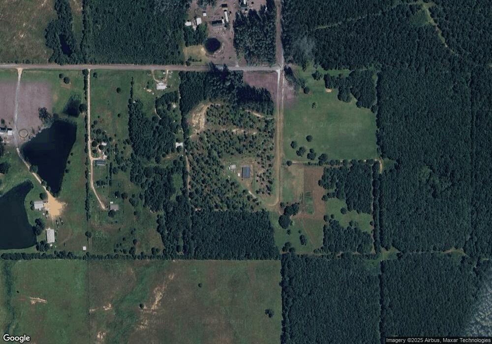
Map
Nearby Homes
- 10330 Lewis Rd
- 1439 Louisiana 3226
- 2385 Rainwater Rd Unit Road
- 341 Carl Thompson Rd
- 2389 Glendale Rd
- 131 Eagle Point Dr
- 549 Wingate Rd
- 2108 Pear St Unit Street
- 2108 Pear St
- 2107 Peach St
- 1938 Glendale Rd
- 0 Tbd Land Bayou Pines Lot 57
- 0 Stillwood
- 510 Woodland Pkwy
- 7 Woodland Pkwy
- 0 Glendale Rd
- 1844 Woodlawn St
- 810 Greenbriar St
- 1598 Glendale Rd
- 1207 Seminole St