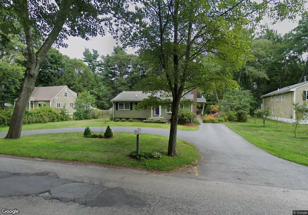
206 South Rd Bedford, MA 01730
Estimated Value: $805,000
3
Beds
2
Baths
1,374
Sq Ft
$586/Sq Ft
Est. Value
About This Home
This home is located at 206 South Rd, Bedford, MA 01730 and is currently estimated at $805,000, approximately $585 per square foot. 206 South Rd is a home located in Middlesex County with nearby schools including Lt. Elezer Davis Elementary School, Lt .Job Lane Elementary School, and John Glenn Middle School.
Ownership History
Date
Name
Owned For
Owner Type
Purchase Details
Closed on
Jan 7, 2013
Sold by
Curtin Daniel J
Bought by
Curtin Doris
Current Estimated Value
Purchase Details
Closed on
Apr 4, 1994
Sold by
Cardoos Marion E
Bought by
Curtin Daniel J and Curtin Doris
Home Financials for this Owner
Home Financials are based on the most recent Mortgage that was taken out on this home.
Original Mortgage
$154,850
Interest Rate
7.07%
Mortgage Type
Purchase Money Mortgage
Create a Home Valuation Report for This Property
The Home Valuation Report is an in-depth analysis detailing your home's value as well as a comparison with similar homes in the area
Home Values in the Area
Average Home Value in this Area
Purchase History
| Date | Buyer | Sale Price | Title Company |
|---|---|---|---|
| Curtin Doris | -- | -- | |
| Curtin Daniel J | $163,000 | -- |
Source: Public Records
Mortgage History
| Date | Status | Borrower | Loan Amount |
|---|---|---|---|
| Previous Owner | Curtin Daniel J | $177,000 | |
| Previous Owner | Curtin Daniel J | $154,850 |
Source: Public Records
Tax History Compared to Growth
Tax History
| Year | Tax Paid | Tax Assessment Tax Assessment Total Assessment is a certain percentage of the fair market value that is determined by local assessors to be the total taxable value of land and additions on the property. | Land | Improvement |
|---|---|---|---|---|
| 2025 | $81 | $673,500 | $471,500 | $202,000 |
| 2024 | $7,614 | $640,900 | $449,100 | $191,800 |
| 2023 | $7,172 | $574,700 | $424,100 | $150,600 |
| 2022 | $7,394 | $544,500 | $407,500 | $137,000 |
| 2021 | $7,075 | $522,900 | $385,900 | $137,000 |
| 2020 | $6,892 | $522,900 | $385,900 | $137,000 |
| 2019 | $6,757 | $521,400 | $385,900 | $135,500 |
| 2018 | $7,424 | $513,100 | $382,900 | $130,200 |
| 2017 | $6,533 | $441,100 | $305,600 | $135,500 |
| 2016 | $6,518 | $426,600 | $291,100 | $135,500 |
| 2015 | $6,145 | $420,300 | $291,100 | $129,200 |
| 2014 | $5,982 | $380,800 | $249,500 | $131,300 |
Source: Public Records
Map
Nearby Homes
- 39 Neillian St Unit 39
- 36 Loomis St Unit 104
- 36 Loomis St Unit 301
- 36 Loomis St Unit 404
- 10 Webber Ave Unit 1A
- 10 Webber Ave Unit 3C
- 10 Webber Ave Unit 4D
- 52 Summer St Unit B
- 50 Summer St Unit A
- 37 Pine St
- 75 Westview St
- 22 Springs Rd
- 83 Winter St
- 10 Nickerson Rd
- 55 Ivan St
- 24 Dunelm Rd
- 18 Heritage Dr
- 22 Selfridge Rd
- 62 Carlisle Rd
- 80 Wilson Rd