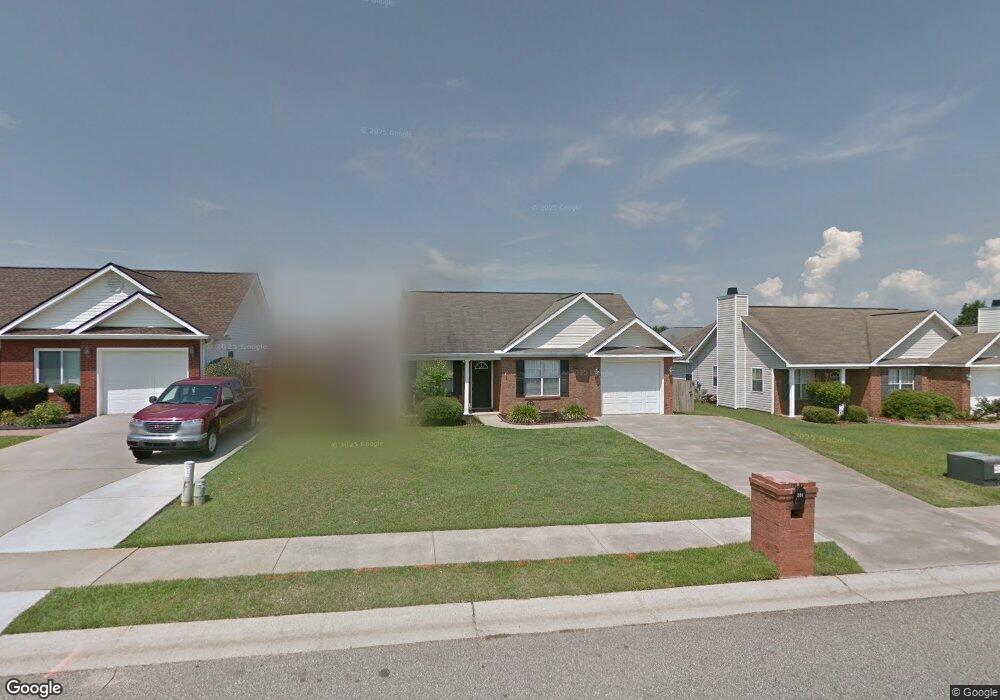
206 Stirling Bridge Dr Warner Robins, GA 31088
Estimated Value: $214,000 - $227,000
3
Beds
2
Baths
1,354
Sq Ft
$161/Sq Ft
Est. Value
About This Home
This home is located at 206 Stirling Bridge Dr, Warner Robins, GA 31088 and is currently estimated at $218,022, approximately $161 per square foot. 206 Stirling Bridge Dr is a home located in Houston County with nearby schools including Lake Joy Primary School, Lake Joy Elementary School, and Feagin Mill Middle School.
Ownership History
Date
Name
Owned For
Owner Type
Purchase Details
Closed on
Apr 1, 2024
Sold by
Powell Gary M and Powell Michelle M
Bought by
Wharton Christopher J and Wharton Marian F
Current Estimated Value
Home Financials for this Owner
Home Financials are based on the most recent Mortgage that was taken out on this home.
Original Mortgage
$125,000
Outstanding Balance
$122,587
Interest Rate
5.5%
Mortgage Type
New Conventional
Estimated Equity
$95,435
Purchase Details
Closed on
Mar 31, 2010
Sold by
Lewis Robert P and Lewis Shannon
Bought by
Powell Gary M and Powell Michelle M
Purchase Details
Closed on
Jul 23, 2004
Sold by
Lewis Robert P
Bought by
Lewis Robert P and Lewis Shannon
Purchase Details
Closed on
Jul 6, 2004
Sold by
Prestige Builders Inc
Bought by
Lewis Robert P
Purchase Details
Closed on
Jun 3, 2002
Sold by
Jerusalem Church Rd Llc
Bought by
Prestige Builders Inc
Create a Home Valuation Report for This Property
The Home Valuation Report is an in-depth analysis detailing your home's value as well as a comparison with similar homes in the area
Home Values in the Area
Average Home Value in this Area
Purchase History
| Date | Buyer | Sale Price | Title Company |
|---|---|---|---|
| Wharton Christopher J | $200,000 | None Listed On Document | |
| Powell Gary M | $92,000 | None Available | |
| Lewis Robert P | -- | -- | |
| Lewis Robert P | $89,000 | -- | |
| Prestige Builders Inc | $15,000 | -- |
Source: Public Records
Mortgage History
| Date | Status | Borrower | Loan Amount |
|---|---|---|---|
| Open | Wharton Christopher J | $125,000 |
Source: Public Records
Tax History Compared to Growth
Tax History
| Year | Tax Paid | Tax Assessment Tax Assessment Total Assessment is a certain percentage of the fair market value that is determined by local assessors to be the total taxable value of land and additions on the property. | Land | Improvement |
|---|---|---|---|---|
| 2024 | $2,333 | $72,680 | $9,600 | $63,080 |
| 2023 | $1,750 | $54,480 | $8,000 | $46,480 |
| 2022 | $1,095 | $49,640 | $7,800 | $41,840 |
| 2021 | $992 | $44,920 | $7,800 | $37,120 |
| 2020 | $819 | $37,240 | $7,000 | $30,240 |
| 2019 | $819 | $37,240 | $7,000 | $30,240 |
| 2018 | $819 | $37,240 | $7,000 | $30,240 |
| 2017 | $820 | $37,240 | $7,000 | $30,240 |
| 2016 | $821 | $37,240 | $7,000 | $30,240 |
| 2015 | -- | $37,240 | $7,000 | $30,240 |
| 2014 | -- | $37,240 | $7,000 | $30,240 |
| 2013 | -- | $37,240 | $7,000 | $30,240 |
Source: Public Records
Map
Nearby Homes
- 204 Falkirk Dr
- 122 Halidon Dr
- 0 Lakeview Rd
- 113 Perth Ct
- 112 Legacy Ct
- 407 Doraville Ct
- 120 Legacy Ct
- 122 Wavertree Dr
- 114 Wavertree Dr
- 201 Running Creek Dr
- 204 Scotsburg Dr
- 103 Emberly Ln
- 115 Flora Cir
- 403 Wiltshire Ct
- 108 Havelock Cir
- 112 Scotsburg Dr
- 104 Flora Cir
- 109 Roseine Dr
- 121 Bridgeway Dr
- 119 Bromley Way
- 204 Stirling Bridge Dr
- 210 Stirling Bridge Dr
- 202 Stirling Bridge Dr
- 115 Cedarland Dr
- 113 Cedarland Dr
- 117 Cedarland Dr
- 111 Cedarland Dr
- 112 Stirling Bridge Dr
- 212 Stirling Bridge Dr
- 119 Cedarland Dr
- 205 Stirling Bridge Dr
- 203 Stirling Bridge Dr
- 207 Stirling Bridge Dr
- 109 Cedarland Dr
- 209 Stirling Bridge Dr
- 207 Falkirk Dr
- 214 Stirling Bridge Dr
- 121 Cedarland Dr
- 211 Stirling Bridge Dr
- 205 Falkirk Dr