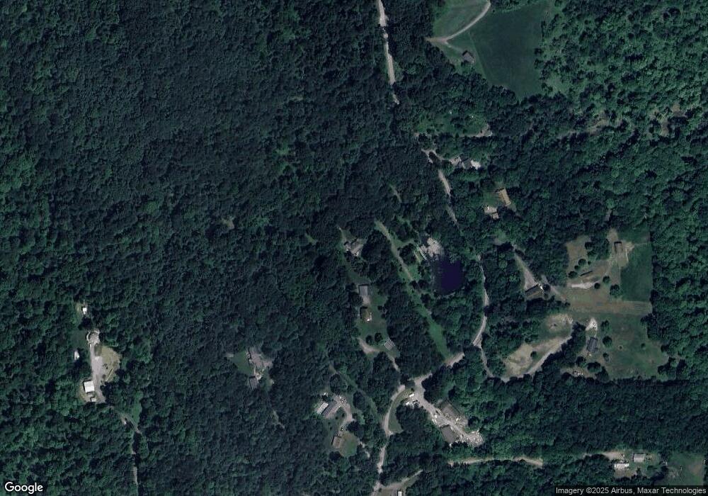
206 Tate Rd Hookstown, PA 15050
Greene Township NeighborhoodEstimated Value: $297,000 - $479,000
3
Beds
2
Baths
1,802
Sq Ft
$211/Sq Ft
Est. Value
About This Home
This home is located at 206 Tate Rd, Hookstown, PA 15050 and is currently estimated at $379,554, approximately $210 per square foot. 206 Tate Rd is a home with nearby schools including South Side El School, South Side Middle School, and South Side High School.
Ownership History
Date
Name
Owned For
Owner Type
Purchase Details
Closed on
May 24, 2023
Sold by
Moore Robert L
Bought by
Nchi Holdings Llc
Current Estimated Value
Purchase Details
Closed on
May 22, 2023
Sold by
Waite Sheryll L
Bought by
Nchi Holdings Llc
Purchase Details
Closed on
May 20, 2023
Sold by
Peterson Kathleen L
Bought by
Nchi Holdings Llc
Purchase Details
Closed on
Sep 6, 2011
Sold by
Shirley Thomas F and Shirley Thomas
Bought by
Shirley Timothy L and Shirley Ashlee M
Create a Home Valuation Report for This Property
The Home Valuation Report is an in-depth analysis detailing your home's value as well as a comparison with similar homes in the area
Home Values in the Area
Average Home Value in this Area
Purchase History
| Date | Buyer | Sale Price | Title Company |
|---|---|---|---|
| Nchi Holdings Llc | $25,000 | None Listed On Document | |
| Nchi Holdings Llc | $25,000 | None Listed On Document | |
| Nchi Holdings Llc | $25,000 | None Listed On Document | |
| Shirley Timothy L | -- | None Available |
Source: Public Records
Tax History Compared to Growth
Tax History
| Year | Tax Paid | Tax Assessment Tax Assessment Total Assessment is a certain percentage of the fair market value that is determined by local assessors to be the total taxable value of land and additions on the property. | Land | Improvement |
|---|---|---|---|---|
| 2025 | $1,172 | $159,700 | $36,950 | $122,750 |
| 2024 | $4,915 | $159,700 | $36,950 | $122,750 |
| 2023 | $4,525 | $45,750 | $10,000 | $35,750 |
| 2022 | $4,314 | $45,750 | $10,000 | $35,750 |
| 2021 | $4,314 | $45,750 | $10,000 | $35,750 |
| 2020 | $4,193 | $45,750 | $10,000 | $35,750 |
| 2019 | $1,190 | $45,750 | $10,000 | $35,750 |
| 2018 | $4,113 | $45,750 | $10,000 | $35,750 |
| 2017 | $4,113 | $45,750 | $10,000 | $35,750 |
| 2016 | $3,893 | $45,750 | $10,000 | $35,750 |
| 2015 | $113 | $45,750 | $10,000 | $35,750 |
| 2014 | $113 | $5,100 | $5,100 | $0 |
Source: Public Records
Map
Nearby Homes
- 573 Shaffer Rd
- 4839 State Route 151
- 0 Kennedy Rd
- 144 Langham Dr
- 214 Mccleary Rd
- 208 Mccleary Rd
- 0 Us-30 Unit 1713829
- 2618 US Route 30
- 0 Paul Dr
- 215 Harshaville Rd
- 199 Allison Rd
- 264 Hanover Kendall Rd
- 0 Beaver Midland Rd
- 1284 Ohio Ave
- 4026 Patterson Rd
- 33 Park Place W
- 107 Francis Dr
- 649 Penn Ave
- 632 Penn Ave
- 465 Virginia Ave
- 218 Tate Rd
- 179 Tate Rd
- 226 Tate Rd
- 189 Tate Rd
- 225 Tate Rd
- 191 Tate Rd
- 363 Upper Service Rd
- 149 Tate Rd Unit 151
- 241 Tate Rd
- 241 Tate Rd
- 380 Upper Service Rd
- 384 Upper Service Rd
- 120 Tate Rd
- 120 Tate Rd
- 376 Tate Rd
- 417 Upper Service Rd
- 695 Shaffer Rd
- 392 Upper Service Rd
- 356 Upper Service Rd
- 110 Tate Rd
