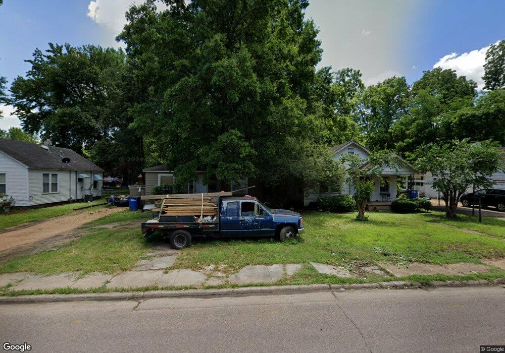
206 W Danner Ave West Memphis, AR 72301
Estimated Value: $72,155 - $155,000
2
Beds
1
Bath
861
Sq Ft
$119/Sq Ft
Est. Value
About This Home
This home is located at 206 W Danner Ave, West Memphis, AR 72301 and is currently estimated at $102,789, approximately $119 per square foot. 206 W Danner Ave is a home located in Crittenden County with nearby schools including Bragg Elementary School, West Junior High School, and The Academies of West Memphis Charter School.
Ownership History
Date
Name
Owned For
Owner Type
Purchase Details
Closed on
Jan 8, 2025
Sold by
Crowl Cynthia
Bought by
Golden Sun Properties Llc
Current Estimated Value
Purchase Details
Closed on
Jan 6, 2024
Sold by
Moudy Irrevocable Trust and Crowl Cynthia
Bought by
Crowl Cynthia
Purchase Details
Closed on
Apr 11, 2018
Sold by
Moudy Argie and Moudy Jimmy
Bought by
Moudy Argie and Moudy Revocable Trt
Purchase Details
Closed on
May 22, 2007
Sold by
Not Provided
Bought by
Moudy Argie
Purchase Details
Closed on
Jan 1, 1981
Bought by
Sullivan John Ronald
Create a Home Valuation Report for This Property
The Home Valuation Report is an in-depth analysis detailing your home's value as well as a comparison with similar homes in the area
Home Values in the Area
Average Home Value in this Area
Purchase History
| Date | Buyer | Sale Price | Title Company |
|---|---|---|---|
| Golden Sun Properties Llc | -- | None Listed On Document | |
| Crowl Cynthia | -- | None Listed On Document | |
| Moudy Argie | -- | None Available | |
| Moudy Argie | $30,000 | -- | |
| Sullivan John Ronald | -- | -- |
Source: Public Records
Tax History Compared to Growth
Tax History
| Year | Tax Paid | Tax Assessment Tax Assessment Total Assessment is a certain percentage of the fair market value that is determined by local assessors to be the total taxable value of land and additions on the property. | Land | Improvement |
|---|---|---|---|---|
| 2024 | $337 | $10,230 | $2,760 | $7,470 |
| 2023 | $315 | $10,230 | $2,760 | $7,470 |
| 2022 | $293 | $10,230 | $2,760 | $7,470 |
| 2021 | $271 | $10,230 | $2,760 | $7,470 |
| 2020 | $229 | $10,230 | $2,760 | $7,470 |
| 2019 | $174 | $4,590 | $1,500 | $3,090 |
| 2018 | $193 | $4,590 | $1,500 | $3,090 |
| 2017 | $193 | $4,590 | $1,500 | $3,090 |
| 2016 | $175 | $4,590 | $1,500 | $3,090 |
| 2015 | $195 | $4,590 | $1,500 | $3,090 |
| 2014 | $353 | $8,470 | $3,600 | $4,870 |
Source: Public Records
Map
Nearby Homes
- 303 N Rhodes St
- 210 W Cooper Ave
- 216 Roosevelt Ave
- 307 W Cooper Ave
- 323 W Oliver Ave
- 301 Pine St
- 320 W Cooper Ave
- 221 W Barton Ave
- 222 E Oliver Ave
- 104 Ross Ave
- 235 W Barton Ave
- 112 Ross Ave
- 501 W Cooper Ave
- 503 W Oliver Ave
- 2217 E Broadway Blvd
- 413 Gibson Ave
- 321 S Worthington Dr
- 402 Oxford St
- 1397 N Missouri St
- 1399 N Missouri St
- 204 W Danner Ave
- 208 W Danner Ave
- 210 W Danner Ave
- 205 W Oliver Ave
- 212 W Danner Ave
- 225 W Danner Ave
- 214 W Danner Ave
- 209 W Oliver Ave
- 216 W Danner Ave
- 201 W Oliver Ave
- 211 W Oliver Ave
- 400 N Rhodes St
- 213 W Oliver Ave
- 5 N Rhodes St
- 215 W Oliver Ave
- 41 N Rhodes St
- 218 W Danner Ave Unit 226
- 219 1/2 W Danner Ave
- 219 W Oliver Ave
- 129 W Danner Ave