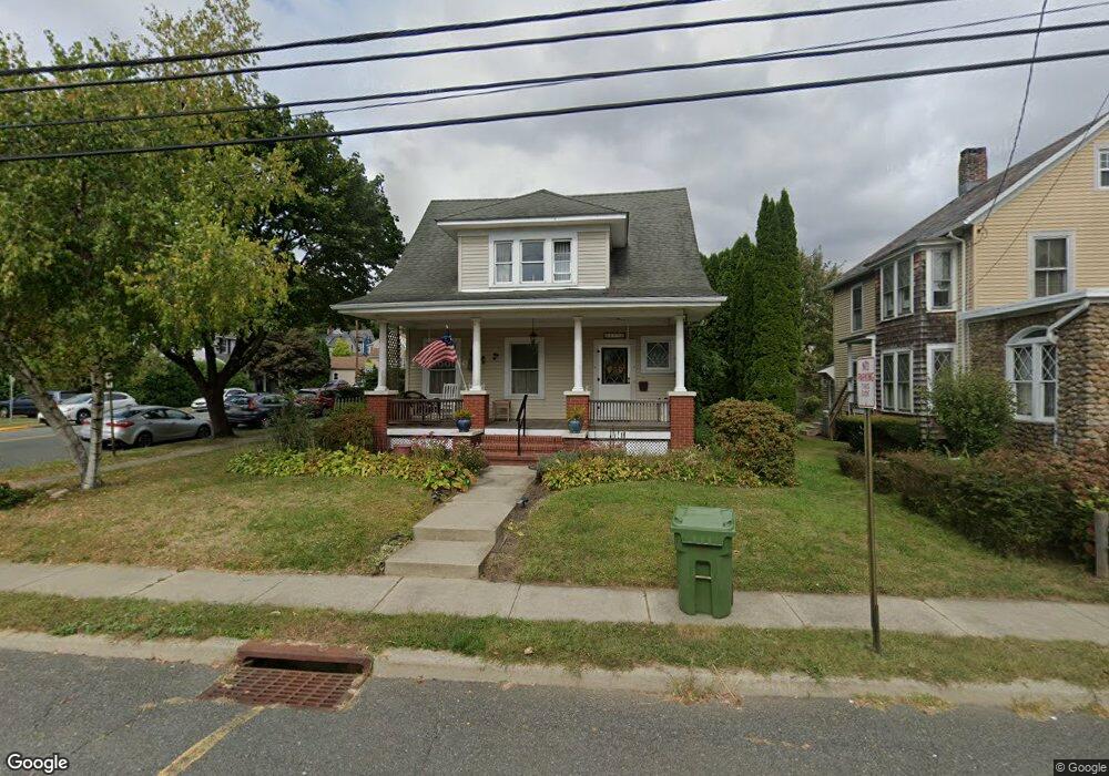
206 W Plane St Hackettstown, NJ 07840
Estimated Value: $453,000 - $513,000
--
Bed
--
Bath
1,813
Sq Ft
$267/Sq Ft
Est. Value
About This Home
This home is located at 206 W Plane St, Hackettstown, NJ 07840 and is currently estimated at $484,513, approximately $267 per square foot. 206 W Plane St is a home located in Warren County with nearby schools including Hackettstown Middle School.
Ownership History
Date
Name
Owned For
Owner Type
Purchase Details
Closed on
Oct 29, 2004
Sold by
Riley Robert G and Riley Dawn M
Bought by
Nestman Kenneth J and Nestman Gerianne
Current Estimated Value
Home Financials for this Owner
Home Financials are based on the most recent Mortgage that was taken out on this home.
Original Mortgage
$200,000
Outstanding Balance
$67,587
Interest Rate
1%
Mortgage Type
Purchase Money Mortgage
Estimated Equity
$416,926
Purchase Details
Closed on
Oct 28, 1993
Sold by
Butler Joann
Bought by
Riley Robert G and Riley Dawn
Home Financials for this Owner
Home Financials are based on the most recent Mortgage that was taken out on this home.
Original Mortgage
$97,000
Interest Rate
6.79%
Create a Home Valuation Report for This Property
The Home Valuation Report is an in-depth analysis detailing your home's value as well as a comparison with similar homes in the area
Home Values in the Area
Average Home Value in this Area
Purchase History
| Date | Buyer | Sale Price | Title Company |
|---|---|---|---|
| Nestman Kenneth J | $330,000 | -- | |
| Riley Robert G | $121,000 | -- |
Source: Public Records
Mortgage History
| Date | Status | Borrower | Loan Amount |
|---|---|---|---|
| Open | Nestman Kenneth J | $200,000 | |
| Previous Owner | Riley Robert G | $97,000 |
Source: Public Records
Tax History Compared to Growth
Tax History
| Year | Tax Paid | Tax Assessment Tax Assessment Total Assessment is a certain percentage of the fair market value that is determined by local assessors to be the total taxable value of land and additions on the property. | Land | Improvement |
|---|---|---|---|---|
| 2025 | $10,472 | $306,300 | $107,100 | $199,200 |
| 2024 | $10,335 | $306,300 | $107,100 | $199,200 |
| 2023 | $9,998 | $306,300 | $107,100 | $199,200 |
| 2022 | $9,998 | $306,300 | $107,100 | $199,200 |
| 2021 | $9,789 | $306,300 | $107,100 | $199,200 |
| 2020 | $9,584 | $306,300 | $107,100 | $199,200 |
| 2019 | $9,263 | $306,300 | $107,100 | $199,200 |
| 2018 | $9,263 | $306,300 | $107,100 | $199,200 |
| 2017 | $9,082 | $306,300 | $107,100 | $199,200 |
| 2016 | $8,932 | $306,300 | $107,100 | $199,200 |
| 2015 | $8,558 | $306,300 | $107,100 | $199,200 |
| 2014 | $8,279 | $306,300 | $107,100 | $199,200 |
Source: Public Records
Map
Nearby Homes
- 403 W Plane St
- 412 W Plane St
- 215 Grand Ave
- 313 Grand Ave
- 302 Grand Ave
- 310 Warren St
- 398 U S 46
- 205 Warren St
- 201 Willow Grove St
- 209 Park Ave
- 9 Saw Mill Cir
- 113 W Valley View Ave
- 533 W Valley View Ave
- 522 W Valley View Ave
- 41 Main St
- 124 Canal Way
- 508 Hamilton Dr
- 39 Overlook Dr
- 151 College View Dr
- 28 Mine Hill Rd
- 204 W Plane St
- 202 W Plane St
- 408 Madison St
- 406 Madison St
- 200 W Plane St
- 209 Church St
- 207 Church St
- 205 Church St
- 203 Church St
- 301 Church St
- 310 W Plane St
- 303 Church St
- 430 Washington St
- 502 Madison St
- 432 Washington St
- 424 Washington St Unit 426
- 308 W Plane St
- 305 Church St
- 305 W Plane St
- 420 Washington St Unit 422