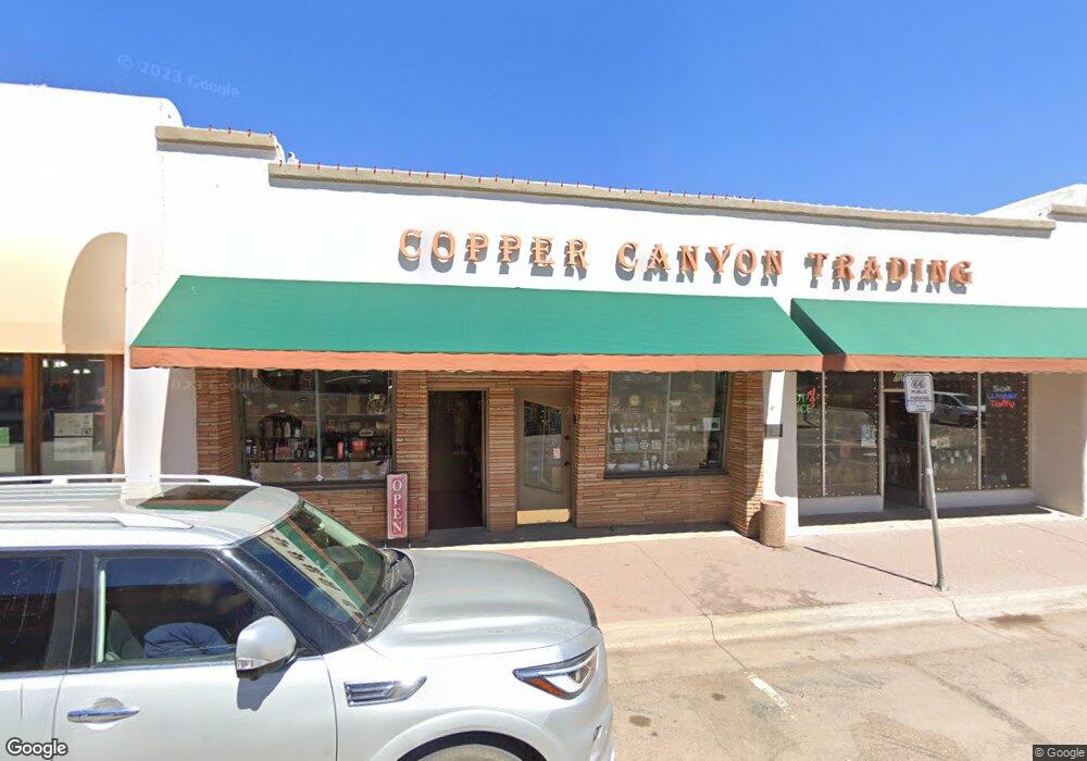
206 W Route 66 Williams, AZ 86046
Estimated Value: $1,109,370
--
Bed
--
Bath
172
Sq Ft
$6,450/Sq Ft
Est. Value
About This Home
This home is located at 206 W Route 66, Williams, AZ 86046 and is currently estimated at $1,109,370, approximately $6,449 per square foot. 206 W Route 66 is a home located in Coconino County with nearby schools including Williams Elementary/Middle School, Williams High School, and Heritage Elementary - Williams.
Ownership History
Date
Name
Owned For
Owner Type
Purchase Details
Closed on
Feb 6, 2008
Sold by
Glassburn Carol A
Bought by
Pompom Llc
Current Estimated Value
Home Financials for this Owner
Home Financials are based on the most recent Mortgage that was taken out on this home.
Original Mortgage
$435,000
Outstanding Balance
$268,299
Interest Rate
5.64%
Mortgage Type
Commercial
Estimated Equity
$841,071
Purchase Details
Closed on
Sep 22, 2005
Sold by
Glassburn Raymond D and Glassburn Carol A
Bought by
Glassburn Raymond D and Glassburn Carol A
Create a Home Valuation Report for This Property
The Home Valuation Report is an in-depth analysis detailing your home's value as well as a comparison with similar homes in the area
Home Values in the Area
Average Home Value in this Area
Purchase History
| Date | Buyer | Sale Price | Title Company |
|---|---|---|---|
| Pompom Llc | $580,000 | Pioneer Title Agency Inc | |
| Glassburn Raymond D | -- | -- |
Source: Public Records
Mortgage History
| Date | Status | Borrower | Loan Amount |
|---|---|---|---|
| Open | Pompom Llc | $435,000 |
Source: Public Records
Tax History Compared to Growth
Tax History
| Year | Tax Paid | Tax Assessment Tax Assessment Total Assessment is a certain percentage of the fair market value that is determined by local assessors to be the total taxable value of land and additions on the property. | Land | Improvement |
|---|---|---|---|---|
| 2025 | $5,422 | $91,007 | -- | -- |
| 2024 | $5,422 | $77,781 | -- | -- |
| 2023 | $5,428 | $63,145 | $0 | $0 |
| 2022 | $5,320 | $61,976 | $0 | $0 |
| 2021 | $5,281 | $63,303 | $0 | $0 |
| 2020 | $5,175 | $64,756 | $0 | $0 |
| 2019 | $5,029 | $61,893 | $0 | $0 |
| 2018 | $4,876 | $61,368 | $0 | $0 |
| 2017 | $4,779 | $59,368 | $0 | $0 |
| 2016 | $4,530 | $56,116 | $0 | $0 |
| 2015 | $4,485 | $45,130 | $0 | $0 |
Source: Public Records
Map
Nearby Homes
- 106 W Sherman Ave
- 500 Grand Canyon Ave
- 304 S 4th St
- 201 S Slagel St
- 412 S 1st St
- 344 E Route 66
- 00 W Fulton Ave
- 1012 Foothill Rd
- 411 S 6th St
- 500 W Meade Ave
- 215 W Hancock Ave
- 407 S 7th St
- 410 N Locust St Unit 18
- 733 S 3rd St
- 725 N Humbolt St
- 530 W Mcpherson Ave
- 1028 W Rogers Ave
- 701 N Airport Rd
- 1011 W Sheridan Ave
- 165 Pinecrest Trail
- 202 W Route 66
- 216 W Route 66
- 0 Grand Canyon Sub1 Lot 127 Unit 132146
- 0 Grand Canyon Sub1 Lot 127 Unit 128092
- 0 Lot 109 Grand Canyon Sub Unit 133825
- 0 Grand Canyon Sub9 Lot 142 Unit 131436
- 0 Grand Canyon Sub9 Lot 142 Unit 136813
- 0 Lot 120 Grand Canyon Sub Unit 129000
- 0 Lot 120 Grand Canyon Sub Unit 122336
- 0 Grand Canyon Sub #2 Lot #190
- 0 Grand Canyon Sub #3 Lot #16 Unit 133758
- 0 Grand Canyon Sub #3 Lot #15 Unit 133757
- 0 Grand Canyon Sub #3 Lot #16 Unit 127696
- 0 Grand Canyon Sub #3 Lot #15 Unit 127695
- 201 W Route 66
- 226 W Route 66
- 141 W Railroad Ave
- 145 W Historic Route 66
- 221 W Route 66
- 145 W Route 66