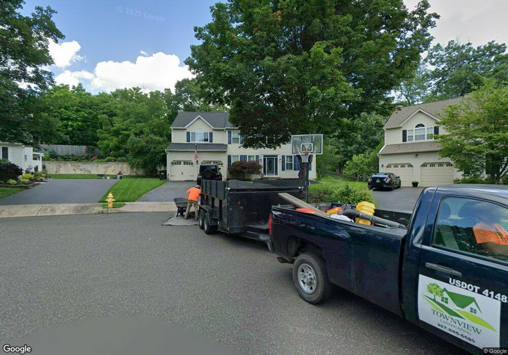
206 Woodspring Cir Doylestown, PA 18901
Estimated Value: $790,000 - $997,468
4
Beds
3
Baths
2,920
Sq Ft
$302/Sq Ft
Est. Value
About This Home
This home is located at 206 Woodspring Cir, Doylestown, PA 18901 and is currently estimated at $882,617, approximately $302 per square foot. 206 Woodspring Cir is a home located in Bucks County with nearby schools including Linden El School, Lenape Middle School, and Central Bucks High School-West.
Ownership History
Date
Name
Owned For
Owner Type
Purchase Details
Closed on
Jan 27, 1995
Sold by
Doylestown Hunt Associates L P
Bought by
Munger Richard A and Munger Julie A
Current Estimated Value
Home Financials for this Owner
Home Financials are based on the most recent Mortgage that was taken out on this home.
Original Mortgage
$150,000
Interest Rate
9.13%
Create a Home Valuation Report for This Property
The Home Valuation Report is an in-depth analysis detailing your home's value as well as a comparison with similar homes in the area
Home Values in the Area
Average Home Value in this Area
Purchase History
| Date | Buyer | Sale Price | Title Company |
|---|---|---|---|
| Munger Richard A | $225,008 | First American Title Ins Co |
Source: Public Records
Mortgage History
| Date | Status | Borrower | Loan Amount |
|---|---|---|---|
| Closed | Munger Richard A | $150,000 |
Source: Public Records
Tax History Compared to Growth
Tax History
| Year | Tax Paid | Tax Assessment Tax Assessment Total Assessment is a certain percentage of the fair market value that is determined by local assessors to be the total taxable value of land and additions on the property. | Land | Improvement |
|---|---|---|---|---|
| 2025 | $8,107 | $45,000 | $9,720 | $35,280 |
| 2024 | $8,107 | $45,000 | $9,720 | $35,280 |
| 2023 | $7,723 | $45,000 | $9,720 | $35,280 |
| 2022 | $7,616 | $45,000 | $9,720 | $35,280 |
| 2021 | $7,533 | $45,000 | $9,720 | $35,280 |
| 2020 | $7,450 | $45,000 | $9,720 | $35,280 |
| 2019 | $7,368 | $45,000 | $9,720 | $35,280 |
| 2018 | $7,278 | $45,000 | $9,720 | $35,280 |
| 2017 | $7,201 | $45,000 | $9,720 | $35,280 |
| 2016 | $7,201 | $45,000 | $9,720 | $35,280 |
| 2015 | -- | $45,000 | $9,720 | $35,280 |
| 2014 | -- | $45,000 | $9,720 | $35,280 |
Source: Public Records
Map
Nearby Homes
- 195 Lafayette St
- 403 S Main St Unit S201
- 3 Steeplechase Dr
- 236 Green St
- 89 Homestead Dr
- 37 N Clinton St
- 110 E Ashland St
- 69 E Oakland Ave
- 20 E Court St
- 130 N Clinton St
- 9 Mill Creek Dr
- 272 Fox Chase Ln
- 1 Barnes Ct
- 155 E Oakland Ave
- 146 E Court St
- 78 Tower Hill Rd
- 146 N Church St
- 339 E Ashland St
- 114 Progress Dr
- 32 Hibiscus Ct Unit 32
- 204 Woodspring Cir
- 207 Woodspring Cir
- 202 Woodspring Cir
- 205 Woodspring Cir
- 140 S South Clinton St Unit . A
- 140 S Clinton St Unit A
- 140 S Clinton St Unit . A
- 140 S Clinton St
- 203 Woodspring Cir
- 200 Woodspring Cir
- 201 Woodspring Cir
- 196 W Ashland St
- 171 Hart Ave
- 169 Hart Ave
- 200 S Clinton St
- 176 Hart Ave
- 157 W Ashland St
- 155 W Ashland St
- 174 Hart Ave
- 149 W Ashland St