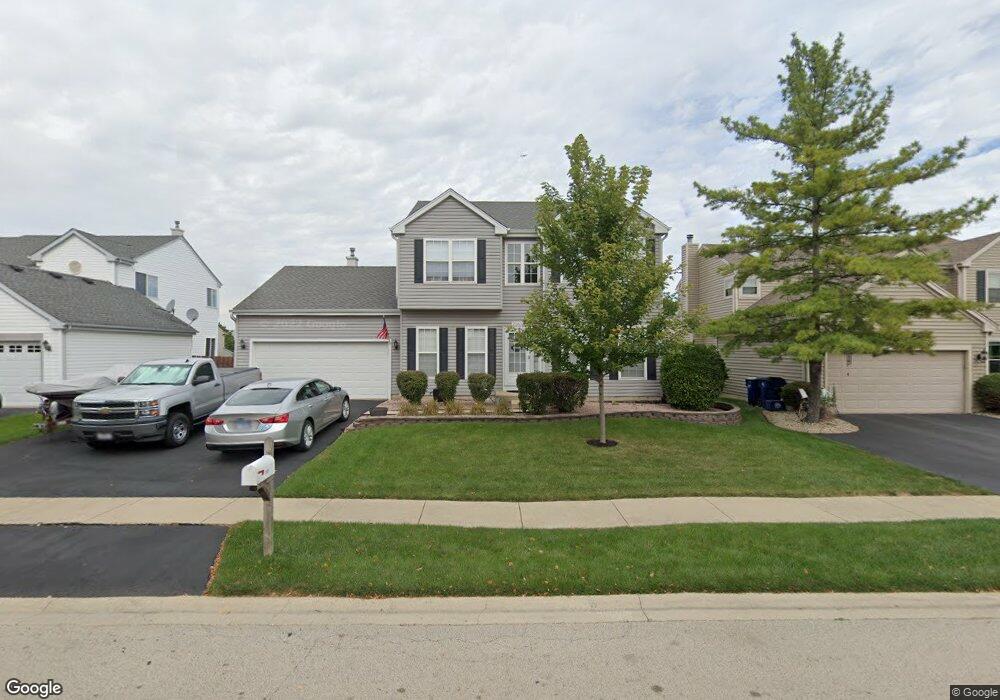
2060 Grovetown Dr Bartlett, IL 60103
Estimated Value: $454,000 - $465,000
About This Home
This home is located at 2060 Grovetown Dr, Bartlett, IL 60103 and is currently estimated at $459,489, approximately $243 per square foot. 2060 Grovetown Dr is a home located in Cook County with nearby schools including Nature Ridge Elementary School, Kenyon Woods Middle School, and South Elgin High School.
Ownership History
We collect this data history from publicly available records. To have your information removed, we recommend requesting removal directly through your county’s website.
Purchase Details
Home Financials for this Owner
Home Financials are based on the most recent Mortgage that was taken out on this home.Purchase Details
Home Financials for this Owner
Home Financials are based on the most recent Mortgage that was taken out on this home.Home Values in the Area
Average Home Value in this Area
Purchase History
We collect this data history from publicly available records. To have your information removed, we recommend requesting removal directly through your county’s website.
| Date | Buyer | Sale Price | Title Company |
|---|---|---|---|
| $333,500 | Pntn | ||
| $182,000 | -- |
Mortgage History
We collect this data history from publicly available records. To have your information removed, we recommend requesting removal directly through your county’s website.
| Date | Status | Borrower | Loan Amount |
|---|---|---|---|
| Open | $145,000 | ||
| Previous Owner | $136,550 |
Tax History
We collect this data history from publicly available records. To have your information removed, we recommend requesting removal directly through your county’s website.
| Year | Tax Paid | Tax Assessment Tax Assessment Total Assessment is a certain percentage of the fair market value that is determined by local assessors to be the total taxable value of land and additions on the property. | Land | Improvement |
|---|---|---|---|---|
| 2025 | $8,394 | $41,000 | $7,475 | $33,525 |
| 2024 | $8,394 | $32,012 | $6,354 | $25,658 |
| 2023 | $8,060 | $32,012 | $6,354 | $25,658 |
| 2022 | $8,060 | $32,012 | $6,354 | $25,658 |
| 2021 | $6,645 | $23,481 | $5,606 | $17,875 |
| 2020 | $6,700 | $23,481 | $5,606 | $17,875 |
| 2019 | $6,649 | $26,091 | $5,606 | $20,485 |
| 2018 | $6,045 | $22,775 | $4,858 | $17,917 |
| 2017 | $6,945 | $22,775 | $4,858 | $17,917 |
| 2016 | $7,899 | $26,122 | $4,858 | $21,264 |
| 2015 | $6,823 | $21,460 | $4,298 | $17,162 |
| 2014 | $6,752 | $21,460 | $4,298 | $17,162 |
| 2013 | $7,120 | $23,367 | $4,298 | $19,069 |
Map
- 1948 Sundrop Ct
- 2342 Southwind Blvd
- 1916 Blue Heron Cir
- 126 7th Ave
- 106 8th Ave
- 87 12th Ave
- 1563 Deer Pointe Dr
- 1609 Deer Pointe Dr
- 1603 Deer Pointe Dr
- 476 Topaz Ln
- 561 Ivory Ln
- 1039 Atterberg Rd
- 1077 Moraine Dr
- 1096 Moraine Dr
- 1609 Spaulding Rd Unit 514
- 1034 Atterberg Rd
- 1004 Atterberg Rd
- 532 Rose Ln
- 1011 N South Elgin Blvd
- 533 Rose Ln Unit 2
- 2056 Grovetown Dr
- 2064 Grovetown Dr
- 2065 Providence Dr
- 2052 Grovetown Dr
- 2061 Providence Dr
- 2068 Grovetown Dr
- 2069 Providence Dr
- 2055 Grovetown Dr
- 2057 Providence Dr
- 2061 Grovetown Dr
- 2073 Providence Dr
- 2048 Grovetown Dr
- 2051 Grovetown Dr
- 2072 Grovetown Dr
- 2053 Providence Dr
- 2077 Providence Dr
- 2071 Grovetown Dr
- 2044 Grovetown Dr
- 203 Faircroft Rd
- 200 Moorehead Dr
Ask me questions while you tour the home.