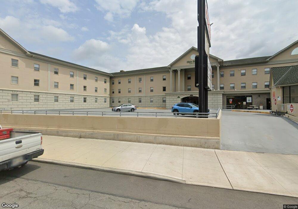
2060 N High St Columbus, OH 43201
Northwood Park Neighborhood
--
Bed
--
Bath
700
Sq Ft
1.65
Acres
About This Home
This home is located at 2060 N High St, Columbus, OH 43201. 2060 N High St is a home located in Franklin County with nearby schools including Weinland Park Elementary School, Dominion Middle School, and Whetstone High School.
Ownership History
Date
Name
Owned For
Owner Type
Purchase Details
Closed on
Dec 21, 2018
Sold by
Estate Of Charles Robert Talbott
Bought by
Talbott William Robert
Purchase Details
Closed on
Mar 9, 2016
Sold by
Cash Buyer I Llc
Bought by
Sip Bw Llc
Purchase Details
Closed on
Apr 23, 2001
Sold by
Talbott Richard A
Bought by
Campus Partners For Community Urban Rede
Purchase Details
Closed on
Jan 14, 1988
Sold by
Talbott Richard A and Talbott Carol S
Bought by
Talbott C Robert
Purchase Details
Closed on
May 20, 1986
Bought by
Talbott Richard A
Purchase Details
Closed on
Aug 1, 1985
Purchase Details
Closed on
Dec 1, 1983
Create a Home Valuation Report for This Property
The Home Valuation Report is an in-depth analysis detailing your home's value as well as a comparison with similar homes in the area
Home Values in the Area
Average Home Value in this Area
Purchase History
| Date | Buyer | Sale Price | Title Company |
|---|---|---|---|
| Talbott William Robert | -- | None Available | |
| Sip Bw Llc | $80,000 | Amerititle | |
| Campus Partners For Community Urban Rede | $1,350,000 | Commonwealth/Central City Ti | |
| Talbott C Robert | $2,400,000 | Land & Mo | |
| Talbott Richard A | -- | -- | |
| -- | -- | -- | |
| -- | -- | -- |
Source: Public Records
Tax History Compared to Growth
Tax History
| Year | Tax Paid | Tax Assessment Tax Assessment Total Assessment is a certain percentage of the fair market value that is determined by local assessors to be the total taxable value of land and additions on the property. | Land | Improvement |
|---|---|---|---|---|
| 2024 | $236,506 | $2,984,180 | $882,000 | $2,102,180 |
| 2023 | $232,927 | $2,984,170 | $882,000 | $2,102,170 |
| 2022 | $236,066 | $2,948,650 | $851,760 | $2,096,890 |
| 2021 | $237,014 | $2,948,650 | $851,760 | $2,096,890 |
| 2020 | $235,491 | $2,948,650 | $851,760 | $2,096,890 |
| 2019 | $197,408 | $2,268,180 | $655,200 | $1,612,980 |
| 2018 | $98,430 | $2,268,180 | $655,200 | $1,612,980 |
| 2017 | $186,594 | $2,268,180 | $655,200 | $1,612,980 |
| 2016 | $195,906 | $2,128,600 | $655,200 | $1,473,400 |
| 2015 | $91,333 | $2,128,600 | $655,200 | $1,473,400 |
| 2014 | $171,910 | $2,128,600 | $655,200 | $1,473,400 |
| 2013 | $85,178 | $2,128,595 | $655,200 | $1,473,395 |
Source: Public Records
Map
Nearby Homes
- 9 E Norwich Ave Unit 15
- 2127 Indiana Ave
- 217 E Oakland Ave
- 261 E Northwood Ave Unit 40
- 223 E Patterson Ave
- 223-225 E Maynard Ave
- 2103 Iuka Ave
- 335 E 18th Ave Unit 333
- 2045 N 4th St
- 2394 Neil Ave
- 1777 Summit St
- 241 E Blake Ave
- 2083 N 4th St
- 377 Alden Ave
- 204 E Blake Ave Unit 206
- 368 Alden Ave Unit 368
- 6 E Blake Ave
- 1988 1990 N 4th St
- 328 Wyandotte Ave Unit 326
- 381 E Oakland Ave
- 15 Frambes Ave
- 2040 N High St Unit 2040
- 2034-2040 N High St
- 2034 N High St
- 25 E Woodruff Ave
- 48 E Frambes Ave Unit 50
- 2054 Tuller St
- 59 E Frambes Ave
- 2060 Tuller St
- 31 E Woodruff Ave Unit 33
- 2106 N High St
- 52 E Woodruff Ave
- 37 E Woodruff Ave
- 56 E Woodruff Ave Unit 58
- 41 E Woodruff Ave Unit 43
- 62 E Frambes Ave
- 2099 Tuller St Unit 101
- 2099-2101 Tuller St
- 69 E Frambes Ave
- 47 E Woodruff Ave