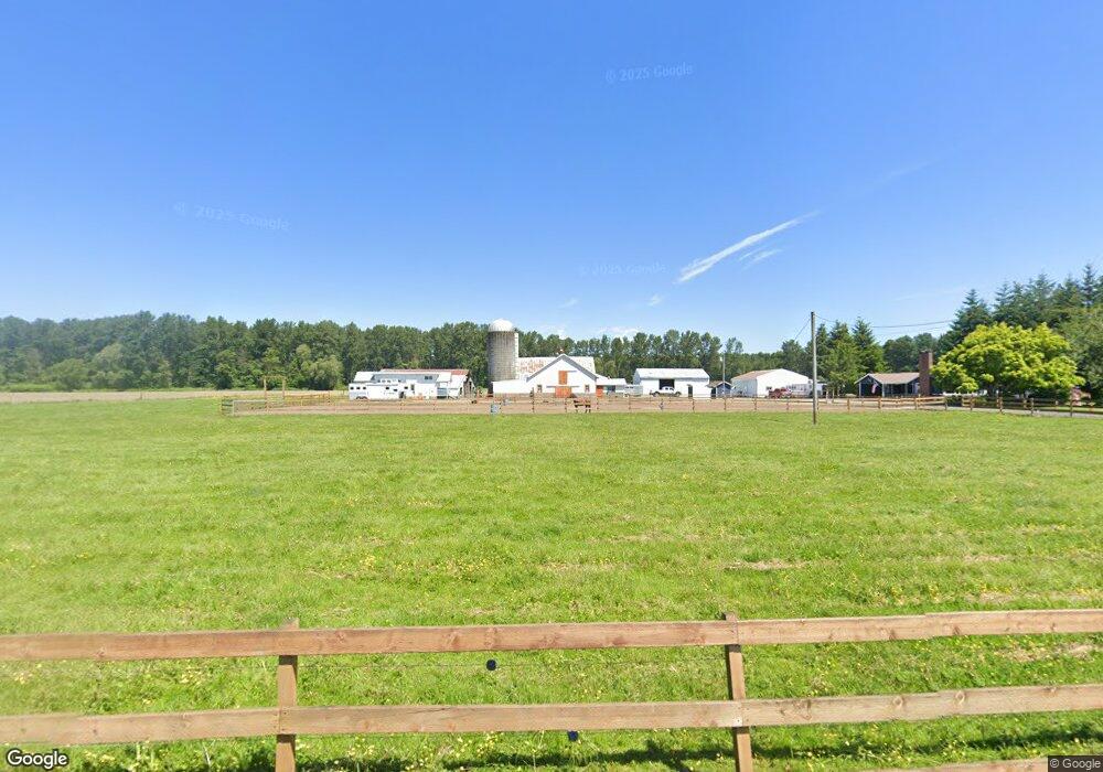
2060 Nolte Rd Everson, WA 98247
Estimated Value: $833,000 - $1,052,198
3
Beds
2
Baths
1,520
Sq Ft
$620/Sq Ft
Est. Value
About This Home
This home is located at 2060 Nolte Rd, Everson, WA 98247 and is currently estimated at $942,599, approximately $620 per square foot. 2060 Nolte Rd is a home located in Whatcom County with nearby schools including Lynden High School.
Ownership History
Date
Name
Owned For
Owner Type
Purchase Details
Closed on
Apr 30, 2007
Sold by
Elenbaas Ben and Elenbaas Jessica
Bought by
Lowe Josh and Lowe Dana L
Current Estimated Value
Home Financials for this Owner
Home Financials are based on the most recent Mortgage that was taken out on this home.
Original Mortgage
$355,000
Outstanding Balance
$215,700
Interest Rate
6.15%
Mortgage Type
Purchase Money Mortgage
Estimated Equity
$726,899
Purchase Details
Closed on
May 9, 2001
Sold by
Bartelds Gerald D and Bartelds Mona
Bought by
Elenbaas Ben and Elenbaas Jessica
Home Financials for this Owner
Home Financials are based on the most recent Mortgage that was taken out on this home.
Original Mortgage
$184,000
Interest Rate
7.37%
Create a Home Valuation Report for This Property
The Home Valuation Report is an in-depth analysis detailing your home's value as well as a comparison with similar homes in the area
Home Values in the Area
Average Home Value in this Area
Purchase History
| Date | Buyer | Sale Price | Title Company |
|---|---|---|---|
| Lowe Josh | $460,280 | First American Title Insuran | |
| Elenbaas Ben | $197,696 | Whatcom Land Title |
Source: Public Records
Mortgage History
| Date | Status | Borrower | Loan Amount |
|---|---|---|---|
| Open | Lowe Josh | $355,000 | |
| Previous Owner | Elenbaas Ben | $184,000 |
Source: Public Records
Tax History Compared to Growth
Tax History
| Year | Tax Paid | Tax Assessment Tax Assessment Total Assessment is a certain percentage of the fair market value that is determined by local assessors to be the total taxable value of land and additions on the property. | Land | Improvement |
|---|---|---|---|---|
| 2024 | $4,021 | $746,797 | $438,407 | $308,390 |
| 2023 | $4,021 | $770,660 | $432,426 | $338,234 |
| 2022 | $3,511 | $694,299 | $389,579 | $304,720 |
| 2021 | $3,363 | $542,411 | $304,353 | $238,058 |
| 2020 | $2,957 | $249,303 | $47,560 | $201,743 |
| 2019 | $2,525 | $414,932 | $232,823 | $182,109 |
| 2018 | $3,467 | $214,917 | $41,000 | $173,917 |
| 2017 | $3,014 | $224,766 | $39,336 | $185,430 |
| 2016 | $3,004 | $200,253 | $35,046 | $165,207 |
| 2015 | $2,507 | $200,253 | $35,046 | $165,207 |
| 2014 | -- | $0 | $0 | $0 |
| 2013 | -- | $0 | $0 | $0 |
Source: Public Records
Map
Nearby Homes
- 1014 Night Hawk Way
- 104 Sable Dr
- 1136 Falcon Ct
- 616 Strandell St
- 122 Sable Dr
- 310 Everson Rd Unit C
- 205 Sable Dr
- 221 Birchwood Dr
- 316 Everson Rd Unit D
- 316 Everson Rd Unit C
- 316 Everson Rd Unit B
- 1307 Birchwood Dr
- 408 W 3rd St
- 400 W 3rd St
- 416 W 3rd St
- 800 Cedar Dr
- 404 W 4th St
- 400 W 4th St
- 405 W 4th St
- 409 W 4th St
- 2117 Nolte Rd
- 1985 Nolte Rd
- 1938 Nolte Rd
- 1884 Nolte Rd
- 2150 van Dyk Rd
- 2301 Stickney Island Rd
- 2151 Stickney Island Rd
- 2131 Stickney Island Rd
- 2145 Stickney Island Rd
- 1852 van Dyk Rd
- 2092 van Dyk Rd
- 711 Red Maple Loop
- 1909 van Dyk Rd
- 1022 Ridge Ln
- 2155 Stickney Island Rd
- 719 Red Maple Loop
- 715 Red Maple Loop Unit LP
- 715 Red Maple Loop
- 23 Red Maple Lp