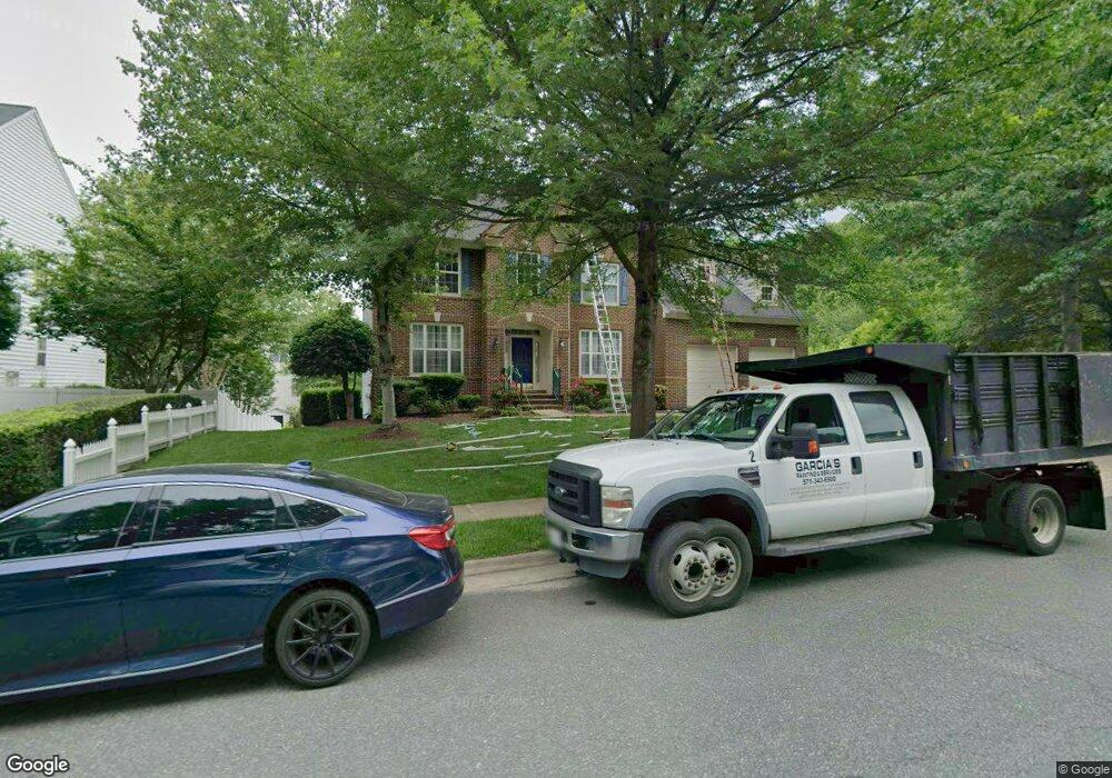
2060 Powells Landing Cir Woodbridge, VA 22191
Estimated Value: $765,321 - $903,000
4
Beds
3
Baths
3,740
Sq Ft
$223/Sq Ft
Est. Value
About This Home
This home is located at 2060 Powells Landing Cir, Woodbridge, VA 22191 and is currently estimated at $834,580, approximately $223 per square foot. 2060 Powells Landing Cir is a home located in Prince William County with nearby schools including Leesylvania Elementary School, Potomac Middle School, and Potomac High School.
Ownership History
Date
Name
Owned For
Owner Type
Purchase Details
Closed on
Dec 11, 2002
Sold by
Neighborhoods I Llc
Bought by
Porch Ruby B
Current Estimated Value
Home Financials for this Owner
Home Financials are based on the most recent Mortgage that was taken out on this home.
Original Mortgage
$322,700
Outstanding Balance
$137,917
Interest Rate
6.17%
Mortgage Type
Construction
Estimated Equity
$696,663
Purchase Details
Closed on
Mar 8, 2002
Sold by
Freestone Ltd Partnership
Bought by
Neighborhoods I L L C
Create a Home Valuation Report for This Property
The Home Valuation Report is an in-depth analysis detailing your home's value as well as a comparison with similar homes in the area
Home Values in the Area
Average Home Value in this Area
Purchase History
| Date | Buyer | Sale Price | Title Company |
|---|---|---|---|
| Porch Ruby B | $421,328 | -- | |
| Neighborhoods I L L C | $1,050,000 | -- |
Source: Public Records
Mortgage History
| Date | Status | Borrower | Loan Amount |
|---|---|---|---|
| Open | Porch Ruby B | $322,700 |
Source: Public Records
Tax History Compared to Growth
Tax History
| Year | Tax Paid | Tax Assessment Tax Assessment Total Assessment is a certain percentage of the fair market value that is determined by local assessors to be the total taxable value of land and additions on the property. | Land | Improvement |
|---|---|---|---|---|
| 2025 | $7,298 | $757,100 | $240,400 | $516,700 |
| 2024 | $7,298 | $733,800 | $231,200 | $502,600 |
| 2023 | $7,302 | $701,800 | $220,200 | $481,600 |
| 2022 | $7,300 | $659,100 | $205,700 | $453,400 |
| 2021 | $7,224 | $594,100 | $185,400 | $408,700 |
| 2020 | $8,618 | $556,000 | $174,900 | $381,100 |
| 2019 | $8,378 | $540,500 | $169,800 | $370,700 |
| 2018 | $6,297 | $521,500 | $161,700 | $359,800 |
| 2017 | $6,376 | $519,300 | $160,100 | $359,200 |
| 2016 | $3,359 | $553,000 | $165,100 | $387,900 |
| 2015 | $3,385 | $559,800 | $166,800 | $393,000 |
| 2014 | $3,385 | $545,500 | $161,900 | $383,600 |
Source: Public Records
Map
Nearby Homes
- 16830 Tidewater Ct
- 16309 Sandy Ridge Ct
- 16068 Hayes Ln
- 16660 Bolling Brook Ct
- 2114 Jellico Ct
- 16862 Reef Knot Way
- 16363 Rusty Rudder Dr
- 16559 Bramblewood Ln
- 16518 Bobster Ct
- 2424 Five Fathom Cir
- 2620 Cast Off Loop
- 17080 Belle Isle Dr
- 2612 Creek Moor Ct
- 2610 Grayton Ln
- 2679 Cast Off Loop
- 17233 Branched Oak Rd
- 17239 Miss Packard Ct
- 2606 Oak Valley Dr
- 2164 Potomac River Blvd
- 16879 Sea Lawn Place
- 2064 Powells Landing Cir
- 16901 Chapel Hill Ct
- 16907 Chapel Hill Ct
- 16925 Chapel Hill Ct
- 16917 Chapel Hill Ct
- 2059 Powells Landing Cir
- 2055 Powells Landing Cir
- 16929 Chapel Hill Ct
- 2072 Powells Landing Cir
- 16900 Chapel Hill Ct
- 16826 Tidewater Ct
- 16829 Tidewater Ct
- 2053 Powells Landing Cir
- 16904 Chapel Hill Ct
- 16908 Chapel Hill Ct
- 16930 Chapel Hill Ct
- 16912 Chapel Hill Ct
- 2076 Powells Landing Cir
- 16916 Chapel Hill Ct
- 16920 Chapel Hill Ct