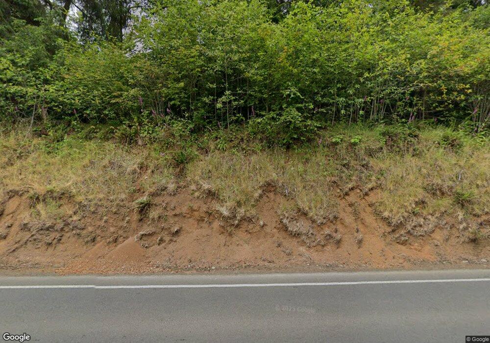
20600 S Hwy 101 Cloverdale, OR 97112
Estimated Value: $457,000 - $491,000
4
Beds
2
Baths
2,458
Sq Ft
$190/Sq Ft
Est. Value
About This Home
This home is located at 20600 S Hwy 101, Cloverdale, OR 97112 and is currently estimated at $466,848, approximately $189 per square foot. 20600 S Hwy 101 is a home located in Tillamook County with nearby schools including Nestucca K-8 School and Nestucca High School.
Ownership History
Date
Name
Owned For
Owner Type
Purchase Details
Closed on
Jan 24, 2005
Sold by
Jones Elaine H
Bought by
Payne John E and Payne Sonja M
Current Estimated Value
Home Financials for this Owner
Home Financials are based on the most recent Mortgage that was taken out on this home.
Original Mortgage
$164,350
Outstanding Balance
$96,281
Interest Rate
8.15%
Mortgage Type
Fannie Mae Freddie Mac
Estimated Equity
$370,567
Create a Home Valuation Report for This Property
The Home Valuation Report is an in-depth analysis detailing your home's value as well as a comparison with similar homes in the area
Home Values in the Area
Average Home Value in this Area
Purchase History
| Date | Buyer | Sale Price | Title Company |
|---|---|---|---|
| Payne John E | $173,000 | First American |
Source: Public Records
Mortgage History
| Date | Status | Borrower | Loan Amount |
|---|---|---|---|
| Open | Payne John E | $164,350 |
Source: Public Records
Tax History Compared to Growth
Tax History
| Year | Tax Paid | Tax Assessment Tax Assessment Total Assessment is a certain percentage of the fair market value that is determined by local assessors to be the total taxable value of land and additions on the property. | Land | Improvement |
|---|---|---|---|---|
| 2024 | $2,766 | $239,560 | $84,750 | $154,810 |
| 2023 | $2,748 | $232,590 | $82,280 | $150,310 |
| 2022 | $2,649 | $225,820 | $79,880 | $145,940 |
| 2021 | $2,574 | $219,250 | $77,560 | $141,690 |
| 2020 | $2,514 | $212,870 | $75,300 | $137,570 |
| 2019 | $2,418 | $206,670 | $73,110 | $133,560 |
| 2018 | $2,218 | $200,660 | $70,980 | $129,680 |
| 2017 | $1,980 | $194,820 | $68,920 | $125,900 |
| 2016 | $1,924 | $189,150 | $66,910 | $122,240 |
| 2015 | $1,886 | $183,650 | $64,960 | $118,690 |
| 2014 | $1,840 | $178,310 | $63,070 | $115,240 |
| 2013 | -- | $173,120 | $61,230 | $111,890 |
Source: Public Records
Map
Nearby Homes
- 20600 Highway 101 S
- 20600 U S 101
- 21125 Highway 101 S
- 21125 U S 101
- 18940 Blanchard Rd
- 21880 E Beaver Creek Rd
- 17805 Highway 101 S
- 16915 U S 101 S
- 24005 U S 101
- 16915 Highway 101 S
- 19625 Fitch Dr
- 22600 Blaine Rd
- 18600 Nestucca Dr
- 18595 Nestucca Dr
- 18999 Nestucca Dr
- 0 Farmer Creek Rd Unit 1000,1100 & 1200
- 0 Farmer Creek Rd Unit 1000 111923028
- 15570 Condor Rd
- 6205 Munson Creek Rd
- 20600 Highway 101 S Unit Beaver
- 20625 Highway 101 S
- 20755 Highway 101 S
- 20595 Highway 101 S
- 20835 Highway 101 S
- 20205 Highway 101 S
- 21100 Highway 101 S
- 21105 Highway 101 S
- 21105 Highway 101 S Unit Beaver, Oregon
- 19957 Highway 101 S
- 19957 Highway 101 S
- 0 E Beaver Creek Rd Unit 22124886
- 0 U S 101
- 20125 Highway 101 S
- 19625 U S 101 S
- 19605 E Beaver Creek Rd
- 19620 Highway 101 S
- 19620 Highway 101 S
- 19620 U S 101 S
- 19605 Highway 101 S
