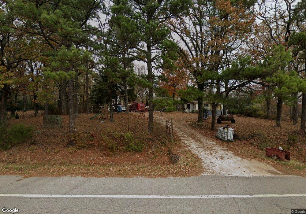
20605 N Highway 71 Mountainburg, AR 72946
Estimated Value: $106,978 - $169,000
--
Bed
1
Bath
1,479
Sq Ft
$100/Sq Ft
Est. Value
About This Home
This home is located at 20605 N Highway 71, Mountainburg, AR 72946 and is currently estimated at $147,245, approximately $99 per square foot. 20605 N Highway 71 is a home located in Crawford County with nearby schools including Mountainburg Elementary School, Mountainburg Middle School, and Mountainburg High School.
Ownership History
Date
Name
Owned For
Owner Type
Purchase Details
Closed on
Feb 18, 2022
Sold by
Price Family Trust
Bought by
Murdock Richard David
Current Estimated Value
Purchase Details
Closed on
Oct 23, 2020
Sold by
Price Richard and Price Family Trust
Bought by
Murdock Richard David
Home Financials for this Owner
Home Financials are based on the most recent Mortgage that was taken out on this home.
Original Mortgage
$103,000
Outstanding Balance
$93,342
Interest Rate
4%
Mortgage Type
Land Contract Argmt. Of Sale
Estimated Equity
$53,903
Purchase Details
Closed on
Aug 27, 2020
Sold by
Wickersham Andrea
Bought by
The Price Family Trust
Home Financials for this Owner
Home Financials are based on the most recent Mortgage that was taken out on this home.
Original Mortgage
$103,000
Outstanding Balance
$93,342
Interest Rate
4%
Mortgage Type
Land Contract Argmt. Of Sale
Estimated Equity
$53,903
Purchase Details
Closed on
May 8, 2020
Sold by
Price Richard and The Price Family Trust
Bought by
Wickersham Andrea
Home Financials for this Owner
Home Financials are based on the most recent Mortgage that was taken out on this home.
Original Mortgage
$105,000
Interest Rate
4%
Mortgage Type
Land Contract Argmt. Of Sale
Purchase Details
Closed on
Mar 28, 2020
Sold by
Wright David and Wright Tera
Bought by
The Price Family Trust
Home Financials for this Owner
Home Financials are based on the most recent Mortgage that was taken out on this home.
Original Mortgage
$105,000
Interest Rate
4%
Mortgage Type
Land Contract Argmt. Of Sale
Purchase Details
Closed on
Mar 4, 2010
Sold by
Bayview Loan Servicing Llc
Bought by
Wingate G R
Purchase Details
Closed on
Jul 29, 2009
Sold by
Morgan Jeff and Morgan Lisa
Bought by
Bayview Loan Servicing Llc
Purchase Details
Closed on
Jun 21, 2002
Bought by
Headrick-Headrick
Purchase Details
Closed on
Mar 17, 1993
Bought by
Brewer-Headrick
Purchase Details
Closed on
Jan 16, 1986
Bought by
1St Amer-Goldom
Create a Home Valuation Report for This Property
The Home Valuation Report is an in-depth analysis detailing your home's value as well as a comparison with similar homes in the area
Home Values in the Area
Average Home Value in this Area
Purchase History
| Date | Buyer | Sale Price | Title Company |
|---|---|---|---|
| Murdock Richard David | $110,000 | None Listed On Document | |
| Murdock Richard David | $110,000 | None Available | |
| The Price Family Trust | -- | None Available | |
| Wickersham Andrea | $105,000 | None Available | |
| The Price Family Trust | -- | None Available | |
| Wingate G R | $41,000 | -- | |
| Bayview Loan Servicing Llc | $59,202 | -- | |
| Headrick-Headrick | -- | -- | |
| Brewer-Headrick | $42,000 | -- | |
| 1St Amer-Goldom | -- | -- |
Source: Public Records
Mortgage History
| Date | Status | Borrower | Loan Amount |
|---|---|---|---|
| Open | Murdock Richard David | $103,000 | |
| Previous Owner | Wickersham Andrea | $105,000 |
Source: Public Records
Tax History Compared to Growth
Tax History
| Year | Tax Paid | Tax Assessment Tax Assessment Total Assessment is a certain percentage of the fair market value that is determined by local assessors to be the total taxable value of land and additions on the property. | Land | Improvement |
|---|---|---|---|---|
| 2025 | $0 | $17,150 | $2,540 | $14,610 |
| 2024 | $56 | $17,150 | $2,540 | $14,610 |
| 2023 | $106 | $17,150 | $2,540 | $14,610 |
| 2022 | $115 | $9,560 | $1,470 | $8,090 |
| 2021 | $115 | $9,560 | $1,470 | $8,090 |
| 2020 | $69 | $9,560 | $1,470 | $8,090 |
| 2019 | $69 | $9,560 | $1,470 | $8,090 |
| 2018 | $433 | $9,560 | $1,470 | $8,090 |
| 2017 | $393 | $8,480 | $1,470 | $7,010 |
| 2016 | $393 | $8,480 | $1,470 | $7,010 |
| 2015 | $43 | $8,480 | $1,470 | $7,010 |
| 2014 | $43 | $8,480 | $1,470 | $7,010 |
Source: Public Records
Map
Nearby Homes
- 20255 N Highway 71
- 21701 Mount Gaylor Point
- 22764 Carter Lane Rd
- 47 Acres Wc 4275
- 11939 Canova Trail
- 11901 Canova Trail
- 19108 Canova Trail
- 21588 S Highway 71
- 15800 Sand Point Terrace
- 20845 U S 71
- 20805 Pine Dr
- 15802 Sand Point Terrace
- 15801 Sand Point Terrace
- 610 Blueberry Hill Rd
- 411 E Front Ave
- TBD Old Locke Rd
- 21710 Wc 274
- 01 Freedom Rd
- 12774 Bunyard Wc 41
- TBD N Devils Den Rd
- 20583 N Highway 71
- 20621 N Highway 71
- 20743 N Highway 71
- 20567 N Highway 71
- 20559 N Highway 71
- 20586 N Highway 71
- 20582 N Highway 71
- 20537 N Highway 71
- 20526 N Highway 71
- 20516 N Highway 71
- 20479 N Highway 71
- 20435 N Highway 71
- 20435 Hwy 71
- 14722 Winfrey Valley Cutoff
- 20440 N Highway 71
- 20530 Vista Cir
- 20354 N Highway 71
- 20531 Vista Cir
- 0000 Winfrey Valley Rd
- 9999 Us 71 Hwy