20608 Emily Rd Unit 393 Bayside, NY 11360
Bayside NeighborhoodEstimated Value: $792,000 - $878,000
--
Bed
--
Bath
1,155
Sq Ft
$718/Sq Ft
Est. Value
About This Home
This home is located at 20608 Emily Rd Unit 393, Bayside, NY 11360 and is currently estimated at $829,557, approximately $718 per square foot. 20608 Emily Rd Unit 393 is a home located in Queens County with nearby schools including P.S. 209 - Clearview Gardens, J.H.S. 194 William Carr, and Bayside High School.
Ownership History
Date
Name
Owned For
Owner Type
Purchase Details
Closed on
Oct 17, 2016
Sold by
Kim Nam Hee and Lapark Yoo La
Bought by
Cheng Yuk Fung and Liu Lun Kwok
Current Estimated Value
Purchase Details
Closed on
Jan 28, 2013
Sold by
Park Yoola
Bought by
Kim Nam Hee and Park Yoola
Purchase Details
Closed on
Feb 15, 2001
Sold by
Kapco Industries Inc
Bought by
Park Voola
Purchase Details
Closed on
Nov 4, 2000
Sold by
Weissman Marie
Bought by
Kapco Industries Inc
Create a Home Valuation Report for This Property
The Home Valuation Report is an in-depth analysis detailing your home's value as well as a comparison with similar homes in the area
Home Values in the Area
Average Home Value in this Area
Purchase History
| Date | Buyer | Sale Price | Title Company |
|---|---|---|---|
| Cheng Yuk Fung | $680,000 | -- | |
| Kim Nam Hee | -- | -- | |
| Park Voola | $305,000 | -- | |
| Kapco Industries Inc | $1,000 | -- |
Source: Public Records
Tax History Compared to Growth
Tax History
| Year | Tax Paid | Tax Assessment Tax Assessment Total Assessment is a certain percentage of the fair market value that is determined by local assessors to be the total taxable value of land and additions on the property. | Land | Improvement |
|---|---|---|---|---|
| 2025 | $8,085 | $42,601 | $2,757 | $39,844 |
| 2024 | $8,085 | $40,252 | $2,991 | $37,261 |
| 2023 | $8,011 | $39,886 | $2,378 | $37,508 |
| 2022 | $7,512 | $44,490 | $2,848 | $41,642 |
| 2021 | $7,471 | $40,536 | $2,848 | $37,688 |
| 2020 | $7,515 | $40,115 | $2,848 | $37,267 |
| 2019 | $7,370 | $36,607 | $2,848 | $33,759 |
| 2018 | $6,953 | $33,238 | $2,431 | $30,807 |
| 2016 | $5,914 | $29,584 | $2,268 | $27,316 |
| 2015 | $3,348 | $29,584 | $2,833 | $26,751 |
| 2014 | $3,348 | $29,360 | $2,759 | $26,601 |
Source: Public Records
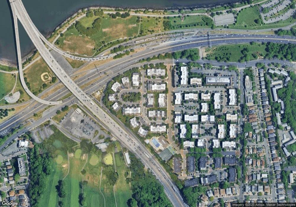
Map
Nearby Homes
- 12-35 Robin Ln Unit Upper
- 12-31 Robin Ln Unit Triplex
- 12-36 Estates Ln Unit 49 L
- 13-36 Robin Ln Unit 70 U
- 20607 Emily Rd Unit 3
- 12-06 Robin Ln Unit 1028
- 13-25 Estates Ln Unit 3F
- 1404 Bonnie Ln Unit 15803
- 12-34 Diane Place Unit 205 U
- 14-04 Michael Place Unit 113 U
- 208-06 Robert Rd Unit 2
- 207-30 Jordan Dr Unit 97U
- 208-08 Estates Dr Unit 22125
- 15-01 Jordan Ct Unit 104M
- 15-01 Jordan Ct Unit 104 U
- 20817 15th Rd
- 210 E 15th St Unit 2N
- 210 E 15th St Unit PHD
- 210 E 15th St Unit 10E
- 210 E 15th St Unit 6A
- 20608 Emily Rd
- 20608 Emily Rd
- 206-08 Emily Rd Unit 39L
- 206-08 Emily Rd
- 206-08 Emily Rd Unit 3rd Fl
- 20606 Emily Rd Unit 38B
- 20606 Emily Rd Unit 381
- 20606 Emily Rd
- 20606 Emily Rd Unit 1112
- 20610 Emily Rd
- 20610 Emily Rd Unit 401
- 20610 Emily Rd
- 206-10 Emily Rd Unit 1120
- 206-10 Emily Rd Unit 1119
- 206-10 Emily Rd
- 206-10 Emily Rd Unit 40L
- 206-10 Emily Rd Unit 40M
- 206-06 Emily Rd
- 206-06 Emily Rd Unit 38L
- 206-04 Emily Rd Unit 2nd Fl