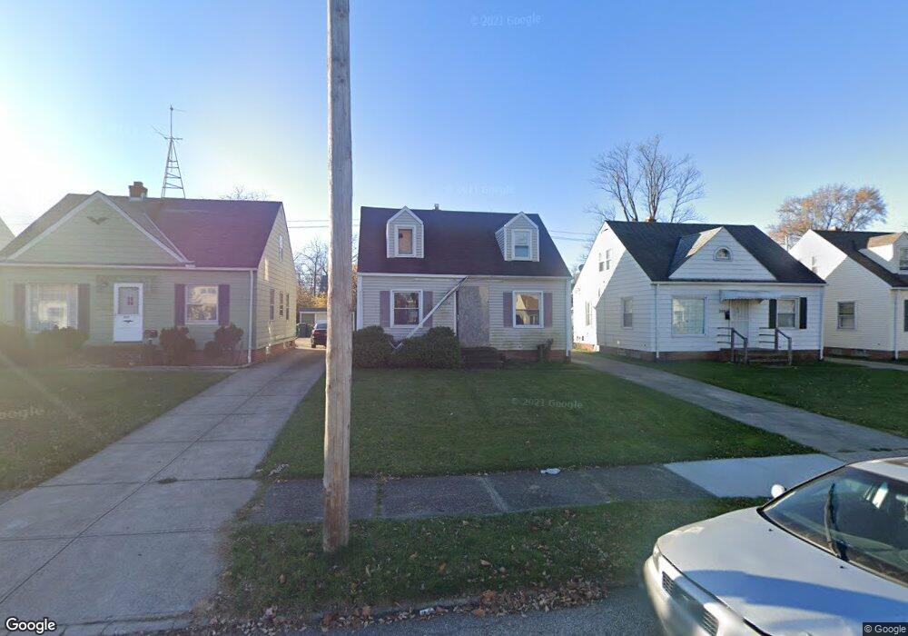
20608 Watson Rd Maple Heights, OH 44137
Estimated Value: $203,739
About This Home
This home is located at 20608 Watson Rd, Maple Heights, OH 44137 and is currently estimated at $203,739, approximately $186 per square foot. 20608 Watson Rd is a home located in Cuyahoga County with nearby schools including Abraham Lincoln Elementary School, Rockside/ J.F. Kennedy School, and Barack Obama School.
Ownership History
We collect this data history from publicly available records. To have your information removed, we recommend requesting removal directly through your county’s website.
Purchase Details
Purchase Details
Purchase Details
Purchase Details
Home Financials for this Owner
Home Financials are based on the most recent Mortgage that was taken out on this home.Purchase Details
Home Financials for this Owner
Home Financials are based on the most recent Mortgage that was taken out on this home.Purchase Details
Home Financials for this Owner
Home Financials are based on the most recent Mortgage that was taken out on this home.Purchase Details
Purchase Details
Purchase Details
Home Values in the Area
Average Home Value in this Area
Purchase History
We collect this data history from publicly available records. To have your information removed, we recommend requesting removal directly through your county’s website.
| Date | Buyer | Sale Price | Title Company |
|---|---|---|---|
| -- | None Listed On Document | ||
| $57,873 | -- | ||
| $30,000 | None Available | ||
| $120,000 | Ata Title | ||
| $70,500 | -- | ||
| $51,000 | -- | ||
| -- | -- | ||
| -- | -- | ||
| -- | -- |
Mortgage History
We collect this data history from publicly available records. To have your information removed, we recommend requesting removal directly through your county’s website.
| Date | Status | Borrower | Loan Amount |
|---|---|---|---|
| Previous Owner | $18,000 | ||
| Previous Owner | $96,000 | ||
| Previous Owner | $70,450 | ||
| Previous Owner | $48,450 |
Tax History
We collect this data history from publicly available records. To have your information removed, we recommend requesting removal directly through your county’s website.
| Year | Tax Paid | Tax Assessment Tax Assessment Total Assessment is a certain percentage of the fair market value that is determined by local assessors to be the total taxable value of land and additions on the property. | Land | Improvement |
|---|---|---|---|---|
| 2025 | -- | $4,165 | $4,165 | -- |
| 2024 | -- | $4,165 | $4,165 | -- |
| 2022 | $235 | $19,880 | $4,165 | $15,715 |
| 2021 | $2,345 | $19,880 | $4,170 | $15,720 |
| 2020 | $2,005 | $15,050 | $3,150 | $11,900 |
| 2019 | $2,681 | $45,100 | $9,000 | $36,100 |
| 2018 | $2,810 | $15,790 | $3,150 | $12,640 |
| 2017 | $3,381 | $15,020 | $2,940 | $12,080 |
| 2016 | $2,104 | $15,020 | $2,940 | $12,080 |
| 2015 | $31,354 | $15,020 | $2,940 | $12,080 |
| 2014 | $31,354 | $16,490 | $3,220 | $13,270 |
Map
- 20505 Franklin Rd
- 5147 Warrensville Center Rd
- 21203 Raymond St
- 20514 Mountville Dr
- 21412 Watson Rd
- 19910 Mountville Dr
- 19812 Marvin Rd
- 21202 Gardenview Dr
- 21506 Kenyon Dr
- 19411 Marvin Rd
- 19107 Longview Ave
- 19409 Libby Rd
- 18990 Raymond St
- 18909 Preston Rd
- 19280 Stafford Ave
- 19513 Beverly Ave
- 0 Miles Rd Unit 5188561
- 18715 Libby Rd
- 18909 Maple Heights Blvd
- 5341 Hollywood Ave
- 20516 Watson Rd
- 20604 Watson Rd
- 20508 Watson Rd
- 20612 Watson Rd
- 20515 Raymond St
- 20605 Raymond St
- 20511 Raymond St
- 20616 Watson Rd
- 20504 Watson Rd
- 20601 Watson Rd
- 20517 Watson Rd
- 20513 Watson Rd
- 20611 Raymond St
- 20605 Watson Rd
- 20507 Raymond St
- 20611 Watson Rd
- 20620 Watson Rd
- 20503 Raymond St
- 20498 Watson Rd
- 20505 Watson Rd
Ask me questions while you tour the home.