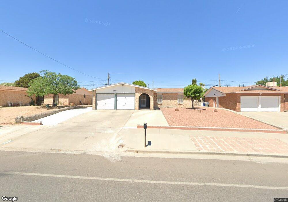
2061 Anise Dr El Paso, TX 79935
Pico Norte NeighborhoodEstimated Value: $197,000 - $208,361
3
Beds
2
Baths
1,263
Sq Ft
$161/Sq Ft
Est. Value
About This Home
This home is located at 2061 Anise Dr, El Paso, TX 79935 and is currently estimated at $203,840, approximately $161 per square foot. 2061 Anise Dr is a home located in El Paso County with nearby schools including Vista Hills Elementary School, J M Hanks High School, and St. Raphael School.
Ownership History
Date
Name
Owned For
Owner Type
Purchase Details
Closed on
Dec 18, 2000
Sold by
Malone Carolyn and Ernest D Malone Trust
Bought by
Carrillo Jose L
Current Estimated Value
Home Financials for this Owner
Home Financials are based on the most recent Mortgage that was taken out on this home.
Original Mortgage
$59,850
Outstanding Balance
$22,103
Interest Rate
7.73%
Estimated Equity
$181,737
Purchase Details
Closed on
Feb 23, 2000
Sold by
Malone Ernest D
Bought by
Malone Ernest D and The Ernest D Malone
Create a Home Valuation Report for This Property
The Home Valuation Report is an in-depth analysis detailing your home's value as well as a comparison with similar homes in the area
Home Values in the Area
Average Home Value in this Area
Purchase History
| Date | Buyer | Sale Price | Title Company |
|---|---|---|---|
| Carrillo Jose L | -- | -- | |
| Malone Ernest D | -- | -- |
Source: Public Records
Mortgage History
| Date | Status | Borrower | Loan Amount |
|---|---|---|---|
| Open | Carrillo Jose L | $59,850 |
Source: Public Records
Tax History Compared to Growth
Tax History
| Year | Tax Paid | Tax Assessment Tax Assessment Total Assessment is a certain percentage of the fair market value that is determined by local assessors to be the total taxable value of land and additions on the property. | Land | Improvement |
|---|---|---|---|---|
| 2025 | $2,126 | $189,140 | -- | -- |
| 2024 | $2,126 | $171,945 | -- | -- |
| 2023 | $2,031 | $156,314 | $0 | $0 |
| 2022 | $4,413 | $142,104 | $0 | $0 |
| 2021 | $4,199 | $129,185 | $21,194 | $107,991 |
| 2020 | $3,910 | $123,777 | $19,238 | $104,539 |
| 2018 | $3,957 | $127,260 | $19,238 | $108,022 |
| 2017 | $3,560 | $116,453 | $19,238 | $97,215 |
| 2016 | $3,560 | $116,453 | $19,238 | $97,215 |
| 2015 | $2,347 | $116,453 | $19,238 | $97,215 |
| 2014 | $2,347 | $120,635 | $19,238 | $101,397 |
Source: Public Records
Map
Nearby Homes
- 2313 Frank Beard Dr
- 2000 Solano Dr
- 1844 Jack Nicklaus Dr Unit 1846
- 2325 Ken Venturi Ln
- 2109 Febrero Dr
- 2009 Bobby Jones Dr Unit B
- 2001 Bobby Jones Dr Unit A
- 11012 Bob Stone Dr
- 10916 Miller Barber Dr
- 11016 Bob Stone Dr
- 11013 Bob Stone Dr
- 2105 Pacheco Dr
- 2153 Trawood Dr
- 2201 Trawood Dr
- 11008 Johnny Miller Dr
- 1901 Bobby Jones Dr
- 2224 Escarpa Dr
- 1817 Hugh Royer Place
- 10712 Gay Brewer Dr
- 2705 Fierro Dr