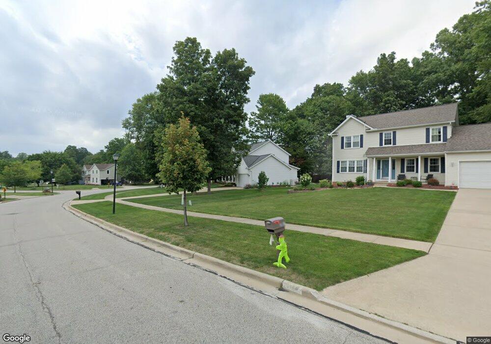
2061 Demi Dr Twinsburg, OH 44087
Estimated Value: $428,237 - $471,000
4
Beds
3
Baths
2,170
Sq Ft
$207/Sq Ft
Est. Value
About This Home
This home is located at 2061 Demi Dr, Twinsburg, OH 44087 and is currently estimated at $448,809, approximately $206 per square foot. 2061 Demi Dr is a home located in Summit County with nearby schools including Wilcox Primary School, Samuel Bissell Elementary School, and Dodge Intermediate School.
Ownership History
Date
Name
Owned For
Owner Type
Purchase Details
Closed on
Nov 19, 2010
Sold by
Taft Richardt Christina R and Richardt Michael Justin
Bought by
Moavero Mario and Moavero Lisa
Current Estimated Value
Home Financials for this Owner
Home Financials are based on the most recent Mortgage that was taken out on this home.
Original Mortgage
$226,605
Interest Rate
4.25%
Mortgage Type
FHA
Purchase Details
Closed on
May 23, 2005
Sold by
Malafa Matthew T and Malafa Kerri J
Bought by
Taft Christina R
Home Financials for this Owner
Home Financials are based on the most recent Mortgage that was taken out on this home.
Original Mortgage
$215,200
Interest Rate
5.12%
Mortgage Type
Fannie Mae Freddie Mac
Purchase Details
Closed on
Oct 18, 2001
Sold by
Mathews Walter and Mathews Christine
Bought by
Malafa Matthew T and Malafa Kerri J
Home Financials for this Owner
Home Financials are based on the most recent Mortgage that was taken out on this home.
Original Mortgage
$212,300
Interest Rate
6.92%
Create a Home Valuation Report for This Property
The Home Valuation Report is an in-depth analysis detailing your home's value as well as a comparison with similar homes in the area
Home Values in the Area
Average Home Value in this Area
Purchase History
| Date | Buyer | Sale Price | Title Company |
|---|---|---|---|
| Moavero Mario | $232,500 | Title First Agency Inc | |
| Taft Christina R | $269,000 | First American Title Ins Co | |
| Malafa Matthew T | $223,500 | Midland Commerce Group |
Source: Public Records
Mortgage History
| Date | Status | Borrower | Loan Amount |
|---|---|---|---|
| Previous Owner | Moavero Mario | $226,605 | |
| Previous Owner | Taft Christina R | $215,200 | |
| Previous Owner | Malafa Matthew T | $212,300 |
Source: Public Records
Tax History Compared to Growth
Tax History
| Year | Tax Paid | Tax Assessment Tax Assessment Total Assessment is a certain percentage of the fair market value that is determined by local assessors to be the total taxable value of land and additions on the property. | Land | Improvement |
|---|---|---|---|---|
| 2025 | $5,682 | $118,070 | $23,377 | $94,693 |
| 2024 | $5,682 | $118,070 | $23,377 | $94,693 |
| 2023 | $5,682 | $118,070 | $23,377 | $94,693 |
| 2022 | $4,704 | $87,196 | $17,315 | $69,881 |
| 2021 | $4,726 | $87,196 | $17,315 | $69,881 |
| 2020 | $4,584 | $87,200 | $17,320 | $69,880 |
| 2019 | $4,773 | $84,840 | $16,450 | $68,390 |
| 2018 | $4,895 | $84,840 | $16,450 | $68,390 |
| 2017 | $4,174 | $84,840 | $16,450 | $68,390 |
| 2016 | $4,149 | $77,100 | $16,450 | $60,650 |
| 2015 | $4,174 | $77,100 | $16,450 | $60,650 |
| 2014 | $4,166 | $77,100 | $16,450 | $60,650 |
| 2013 | $4,042 | $74,850 | $16,450 | $58,400 |
Source: Public Records
Map
Nearby Homes
- 10219 Wagner Ct
- 12162 Waywood Dr
- 10132 Scenic View Dr
- 9933 Cynthia Dr
- 10240 Orchard Hill Ln Unit I23
- 11285 Heritage Dr
- 1902 Westwood Dr
- 10375 W Cobblestone Ln Unit 2
- 10060 Ridgewood Dr
- 32700 Pettibone Rd
- 1816 Westwood Dr
- 10085 Glen Eagle Ln Unit 35AG
- 10393 N Pond Ln
- 34105 Blue Heron Dr
- 1883 Edgewood Dr
- 9618 E Idlewood Dr
- 9639 E Idlewood Dr Unit E16
- 9964 Crestwood Dr
- 1621 Ridgewood Ct
- 7471 Som Center Rd
- 2067 Demi Dr
- 2047 Demi Dr
- 2076 White Marsh Dr
- 2079 Demi Dr
- 11960 Waywood Dr
- 2084 White Marsh Dr
- 2064 Demi Dr
- 2056 Demi Dr
- 2092 White Marsh Dr
- 11972 Waywood Dr
- 2072 Demi Dr
- 2048 Demi Dr
- 2087 Demi Dr
- 2040 Demi Dr
- 2078 Demi Dr
- 2100 White Marsh Dr
- 2031 Trailwood Dr
- 2084 Demi Dr
- 2095 Demi Dr
- 2032 Trailwood Dr