2061 High Dr Estes Park, CO 80517
Estimated Value: $637,000 - $737,000
2
Beds
1
Bath
1,432
Sq Ft
$484/Sq Ft
Est. Value
About This Home
This home is located at 2061 High Dr, Estes Park, CO 80517 and is currently estimated at $692,630, approximately $483 per square foot. 2061 High Dr is a home located in Larimer County with nearby schools including Estes Park K-5 School, Estes Park Middle School, and Estes Park High School.
Ownership History
Date
Name
Owned For
Owner Type
Purchase Details
Closed on
Jun 16, 2021
Sold by
Pflug Kimberly D and Revocable Tr Of Robert V Lord
Bought by
Pflug Kimberly D
Current Estimated Value
Purchase Details
Closed on
Sep 20, 2011
Sold by
Lord Robert V
Bought by
Revocable Trust Of Robert V Lord Jr
Purchase Details
Closed on
Aug 31, 2011
Sold by
Lord Darlene L
Bought by
Revocable Trust Of Darlene L Lord
Purchase Details
Closed on
Aug 30, 2011
Sold by
Lord Robert V
Bought by
Lord Darlene L
Purchase Details
Closed on
Oct 1, 1979
Bought by
Lord Robert V
Create a Home Valuation Report for This Property
The Home Valuation Report is an in-depth analysis detailing your home's value as well as a comparison with similar homes in the area
Home Values in the Area
Average Home Value in this Area
Purchase History
| Date | Buyer | Sale Price | Title Company |
|---|---|---|---|
| Pflug Kimberly D | -- | None Available | |
| Revocable Trust Of Robert V Lord Jr | -- | None Available | |
| Lord Robert | -- | None Available | |
| Revocable Trust Of Darlene L Lord | -- | None Available | |
| Lord Darlene L | -- | None Available | |
| Lord Robert V | $64,000 | -- |
Source: Public Records
Tax History
| Year | Tax Paid | Tax Assessment Tax Assessment Total Assessment is a certain percentage of the fair market value that is determined by local assessors to be the total taxable value of land and additions on the property. | Land | Improvement |
|---|---|---|---|---|
| 2025 | $4,150 | $45,263 | $15,625 | $29,638 |
| 2024 | $3,750 | $56,783 | $16,750 | $40,033 |
| 2022 | $2,892 | $38,802 | $17,375 | $21,427 |
| 2021 | $2,970 | $39,918 | $17,875 | $22,043 |
| 2020 | $3,399 | $45,024 | $17,875 | $27,149 |
| 2019 | $3,374 | $45,024 | $17,875 | $27,149 |
| 2018 | $2,610 | $33,754 | $18,000 | $15,754 |
| 2017 | $2,625 | $33,754 | $18,000 | $15,754 |
| 2016 | $2,286 | $30,447 | $19,900 | $10,547 |
| 2015 | $2,257 | $30,450 | $19,900 | $10,550 |
| 2014 | $1,842 | $25,540 | $19,900 | $5,640 |
Source: Public Records
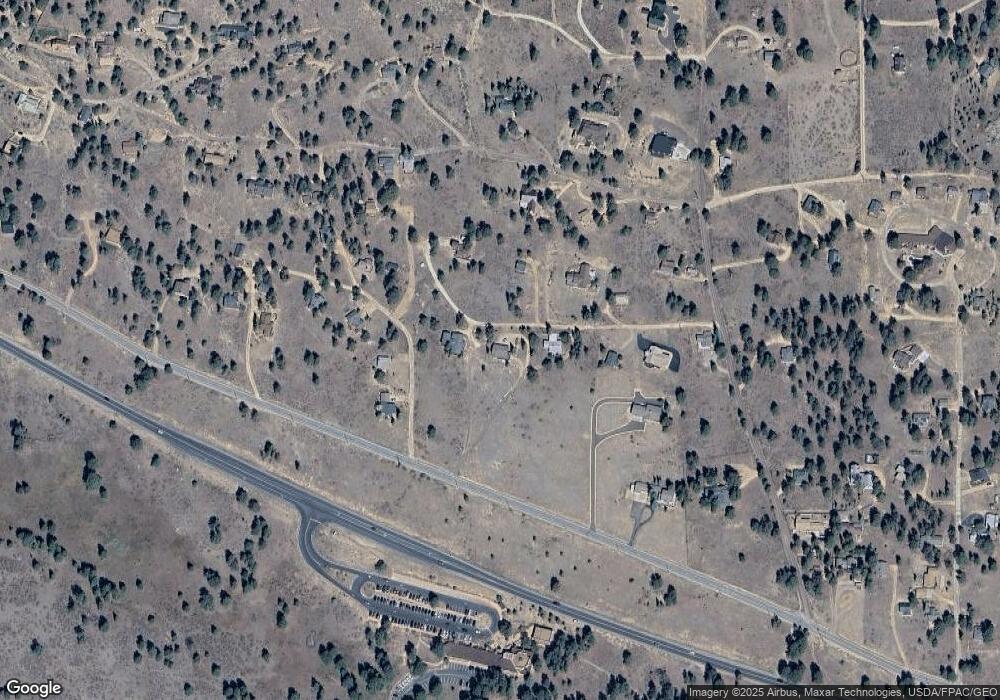
Map
Nearby Homes
- 1945 Tanager Rd
- 2280 Valerian Ln
- 710 Tanager Rd
- 725 Upper Larkspur Ln
- 1631 High Dr
- 1611 High Dr
- 810 Larkspur Rd
- 1565 Highway 66 Unit 31
- 1565 Highway 66 Unit 33
- 1565 Highway 66 Unit 27
- 1565 Highway 66 Unit 49
- 1565 Highway 66 Unit 30
- 1401 High Dr
- 55 Odin Way
- 56 Odin Way
- 24 Ln
- 27 Freyja Ln
- 1475 Lower Broadview Rd
- 2242 Eagle Cliff Rd
- 0 High Dr Unit IRE1053780
- 2041 High Dr
- 2075 Middle High Dr
- 2130 High Dr
- 2085 Siskin Dr
- 2030 High Dr
- 2153 High Dr
- 2035 Middle High Dr
- 2133 High Dr
- 2180 Gaillardia Dr
- 2141 High Dr
- 2161 High Dr
- 2060 Upper High Dr
- 2184 Upper High Dr
- 2050 Penstemon Dr
- 2031 High Dr
- 2501 High Dr
- 2130 Upper High Dr
- 575 Tanager Rd
- 2051 High Dr
- 2181 High Dr
Your Personal Tour Guide
Ask me questions while you tour the home.