2061 State Route 98 Bucyrus, OH 44820
Estimated Value: $200,000 - $299,000
4
Beds
2
Baths
1,816
Sq Ft
$130/Sq Ft
Est. Value
About This Home
This home is located at 2061 State Route 98, Bucyrus, OH 44820 and is currently estimated at $236,581, approximately $130 per square foot. 2061 State Route 98 is a home located in Crawford County with nearby schools including Wynford Elementary School, Wynford High School, and CENTER FOR AUTISM / DYSLEXIA - BUCYRUS.
Ownership History
Date
Name
Owned For
Owner Type
Purchase Details
Closed on
Aug 4, 2023
Sold by
Collene Charles E
Bought by
Byrne Kathleen A
Current Estimated Value
Purchase Details
Closed on
Dec 12, 2019
Sold by
Collene Charles E
Bought by
Buckeye Promise Land Llc
Create a Home Valuation Report for This Property
The Home Valuation Report is an in-depth analysis detailing your home's value as well as a comparison with similar homes in the area
Home Values in the Area
Average Home Value in this Area
Purchase History
| Date | Buyer | Sale Price | Title Company |
|---|---|---|---|
| Byrne Kathleen A | $1,000 | None Listed On Document | |
| Buckeye Promise Land Llc | $87,300 | Acs Title Bucyrus |
Source: Public Records
Tax History Compared to Growth
Tax History
| Year | Tax Paid | Tax Assessment Tax Assessment Total Assessment is a certain percentage of the fair market value that is determined by local assessors to be the total taxable value of land and additions on the property. | Land | Improvement |
|---|---|---|---|---|
| 2024 | $2,654 | $71,450 | $9,000 | $62,450 |
| 2023 | $2,654 | $44,180 | $6,830 | $37,350 |
| 2022 | $2,014 | $44,180 | $6,830 | $37,350 |
| 2021 | $2,161 | $44,180 | $6,830 | $37,350 |
| 2020 | $1,601 | $35,340 | $6,830 | $28,510 |
| 2019 | $1,995 | $42,830 | $14,320 | $28,510 |
| 2018 | $3,001 | $40,670 | $12,160 | $28,510 |
| 2017 | $2,133 | $46,080 | $17,570 | $28,510 |
| 2016 | $1,777 | $46,080 | $17,570 | $28,510 |
| 2015 | $1,805 | $46,080 | $17,570 | $28,510 |
| 2014 | $1,306 | $39,410 | $10,900 | $28,510 |
| 2013 | $1,306 | $39,410 | $10,900 | $28,510 |
Source: Public Records
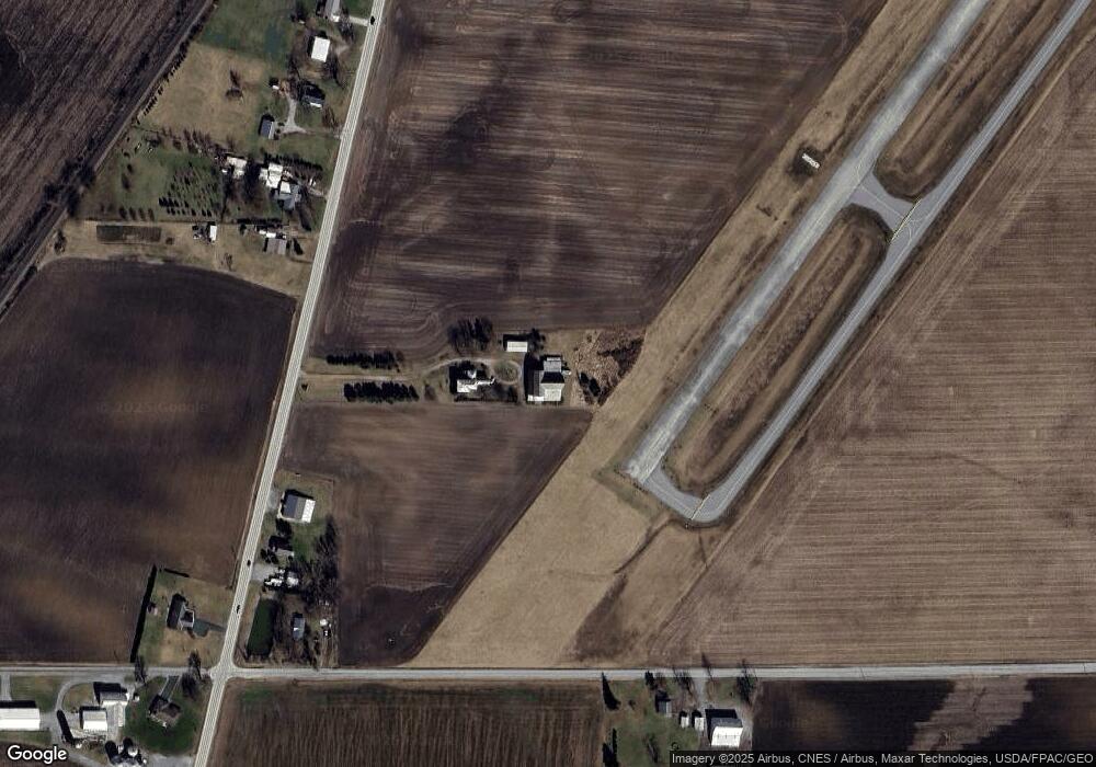
Map
Nearby Homes
- 182 Williams St
- 452 Pleasant Ln
- 1315 Lynne Ave
- 1211 S Sandusky Ave
- 0 Lynne Ave
- 318 Charlotte St
- 1021 S Sandusky Ave
- 1145 Lynne Ave
- 1123 Hillcrest Dr
- 1149 Farmview Dr
- 900 S Spring St
- 1112 Hillcrest Dr
- 1465 Oakridge Dr
- 419 Short St
- 2440 Wyandot Rd
- 708 S Sandusky Ave
- 275 Brentwood St
- 948 S Highland Ave
- 130 Brentwood St
- 583 Rogers St
- 2088 State Route 98
- 2019 State Route 98
- 000 Mount Zion Rd
- 2096 State Route 98
- 2835 Mount Zion Rd
- 2108 State Route 98
- 2130 State Route 98
- 2006 State Route 98
- 2140 State Route 98
- 2148 State Route 98
- 2711 Mount Zion Rd
- 2156 State Route 98
- 2156 State Route 98
- 2659 Mount Zion Rd
- 2216 State Route 98
- 2953 Mount Zion Rd
- 2572 Mount Zion Rd
- 2030 Isaac Beal Rd
- 2070 Isaac Beal Rd
- 2070 Isaac Beal Rd