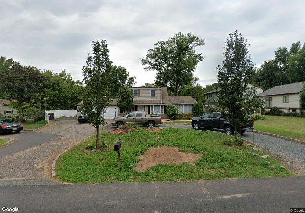
2061 Store Rd Harleysville, PA 19438
Estimated Value: $455,000 - $581,000
3
Beds
1
Bath
2,093
Sq Ft
$245/Sq Ft
Est. Value
About This Home
This home is located at 2061 Store Rd, Harleysville, PA 19438 and is currently estimated at $513,091, approximately $245 per square foot. 2061 Store Rd is a home located in Montgomery County with nearby schools including Skippack Elementary School, Perkiomen Valley Middle School West, and Dock Mennonite Academy.
Ownership History
Date
Name
Owned For
Owner Type
Purchase Details
Closed on
Jun 1, 2012
Sold by
Stong Steven M
Bought by
Stong Dennis H
Current Estimated Value
Purchase Details
Closed on
Aug 30, 2007
Sold by
Stong Marilyn J and Stong Dennis H
Bought by
Stong Steven M
Create a Home Valuation Report for This Property
The Home Valuation Report is an in-depth analysis detailing your home's value as well as a comparison with similar homes in the area
Home Values in the Area
Average Home Value in this Area
Purchase History
| Date | Buyer | Sale Price | Title Company |
|---|---|---|---|
| Stong Dennis H | -- | None Available | |
| Stong Steven M | $200,000 | None Available |
Source: Public Records
Tax History Compared to Growth
Tax History
| Year | Tax Paid | Tax Assessment Tax Assessment Total Assessment is a certain percentage of the fair market value that is determined by local assessors to be the total taxable value of land and additions on the property. | Land | Improvement |
|---|---|---|---|---|
| 2025 | $5,735 | $136,930 | $58,100 | $78,830 |
| 2024 | $5,735 | $136,930 | $58,100 | $78,830 |
| 2023 | $5,531 | $136,930 | $58,100 | $78,830 |
| 2022 | $5,406 | $136,930 | $58,100 | $78,830 |
| 2021 | $5,320 | $136,930 | $58,100 | $78,830 |
| 2020 | $5,188 | $136,930 | $58,100 | $78,830 |
| 2019 | $5,121 | $136,930 | $58,100 | $78,830 |
| 2018 | $575 | $136,930 | $58,100 | $78,830 |
| 2017 | $4,902 | $136,930 | $58,100 | $78,830 |
| 2016 | $4,849 | $136,930 | $58,100 | $78,830 |
| 2015 | $4,658 | $136,930 | $58,100 | $78,830 |
| 2014 | $4,658 | $136,930 | $58,100 | $78,830 |
Source: Public Records
Map
Nearby Homes
- 0 Ashland Dr Unit PAMC2148822
- 20 Township Line Rd
- 3919 Gatehouse Ln
- 2061 Integrity Ave
- 901 Ashbourne Way
- 961 Harleysville Pike
- 4313 Wendy Way
- 1134 Michele Ave
- 100 Cooke Way
- 1100 Cressman Rd
- 1056 Bridge Rd Unit 6
- 1054 Bridge Rd Unit 5
- 1052 Bridge Rd Unit 4
- 1050 Bridge Rd Unit 3
- 1048 Bridge Rd Unit 2
- 1046 Bridge Rd Unit 1
- 870 Harleysville Pike
- 962 Bridge Rd
- 974 Dogwood Ln
- 512 Championship Dr
- 2065 Store Rd
- 2057 Store Rd
- 2044 Fort Bevon Rd
- 2042 Fort Bevon Rd
- 2053 Store Rd
- 2040 Fort Bevon Rd
- 0 Store Rd Unit 5395703
- 0 Store Rd Unit 5544002
- 0 Store Rd Unit 5544005
- 0 Store Rd Unit 5543995
- 0 Store Rd Unit 5683999
- 2069 Store Rd
- 2048 Fort Bevon Rd
- 2060 Store Rd
- 2056 Store Rd
- 2050 Fort Bevon Rd
- 2046 Fort Bevon Rd
- 2038 Fort Bevon Rd
- 2066 Store Rd
- 2036 Fort Bevon Rd