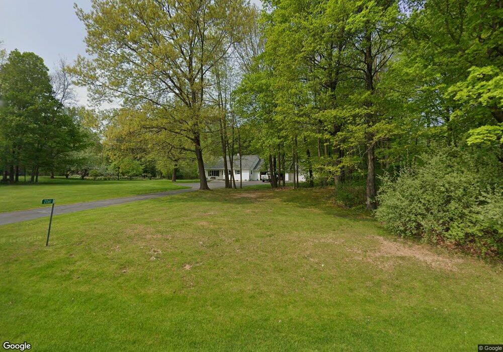
2061 Sylvan Ct Green Bay, WI 54313
Estimated Value: $434,000 - $512,000
3
Beds
3
Baths
2,011
Sq Ft
$230/Sq Ft
Est. Value
About This Home
This home is located at 2061 Sylvan Ct, Green Bay, WI 54313 and is currently estimated at $461,793, approximately $229 per square foot. 2061 Sylvan Ct is a home located in Brown County with nearby schools including Lannoye Elementary School, Pulaski Community Middle School, and Pulaski High School.
Ownership History
Date
Name
Owned For
Owner Type
Purchase Details
Closed on
May 16, 2017
Sold by
Ambrosius Daniel J and Ambrosius Tawni M
Bought by
Graham Daniel A and Graham Seong Kyung
Current Estimated Value
Home Financials for this Owner
Home Financials are based on the most recent Mortgage that was taken out on this home.
Original Mortgage
$213,750
Outstanding Balance
$177,760
Interest Rate
4.1%
Mortgage Type
New Conventional
Estimated Equity
$284,033
Purchase Details
Closed on
Jul 14, 2009
Sold by
Nejedlo Robert L and Nejedlo Caryl A
Bought by
Ambrosius Daniel J and Ambrosius Tawni M
Home Financials for this Owner
Home Financials are based on the most recent Mortgage that was taken out on this home.
Original Mortgage
$150,400
Interest Rate
5.43%
Mortgage Type
New Conventional
Create a Home Valuation Report for This Property
The Home Valuation Report is an in-depth analysis detailing your home's value as well as a comparison with similar homes in the area
Home Values in the Area
Average Home Value in this Area
Purchase History
| Date | Buyer | Sale Price | Title Company |
|---|---|---|---|
| Graham Daniel A | $225,000 | Liberty Title | |
| Ambrosius Daniel J | $188,000 | Liberty Title |
Source: Public Records
Mortgage History
| Date | Status | Borrower | Loan Amount |
|---|---|---|---|
| Open | Graham Daniel A | $213,750 | |
| Previous Owner | Ambrosius Daniel J | $150,400 |
Source: Public Records
Tax History Compared to Growth
Tax History
| Year | Tax Paid | Tax Assessment Tax Assessment Total Assessment is a certain percentage of the fair market value that is determined by local assessors to be the total taxable value of land and additions on the property. | Land | Improvement |
|---|---|---|---|---|
| 2024 | $3,984 | $360,500 | $91,100 | $269,400 |
| 2023 | $3,921 | $251,600 | $67,500 | $184,100 |
| 2022 | $3,395 | $251,600 | $67,500 | $184,100 |
| 2021 | $3,191 | $251,600 | $67,500 | $184,100 |
| 2020 | $3,399 | $251,600 | $67,500 | $184,100 |
| 2019 | $3,338 | $205,900 | $44,100 | $161,800 |
| 2018 | $3,298 | $205,900 | $44,100 | $161,800 |
| 2017 | $3,308 | $205,900 | $44,100 | $161,800 |
| 2016 | $3,360 | $205,900 | $44,100 | $161,800 |
| 2015 | $3,415 | $205,900 | $44,100 | $161,800 |
| 2014 | $3,335 | $205,900 | $44,100 | $161,800 |
| 2013 | $3,335 | $205,900 | $44,100 | $161,800 |
Source: Public Records
Map
Nearby Homes
- 4450 Nature Ridge
- 4454 Nature Ridge
- 4449 Nature Ridge
- 4406 Nature Ridge
- 4458 Nature Ridge
- 4426 Nature Ridge
- 4430 Nature Ridge
- 4446 Nature Ridge
- 4434 Nature Ridge
- 4442 Nature Ridge
- 4413 Nature Ridge
- 4414 Nature Ridge
- 4409 Nature Ridge
- 4465 Nature Ridge
- 4417 Nature Ridge
- 4461 Nature Ridge
- 4405 Nature Ridge
- 4421 Nature Ridge
- 4453 Nature Ridge
- 4401 Nature Ridge
- 2023 Sylvan Dr
- 2081 Sylvan Ct
- 2003 Sylvan Dr
- 1951 Greenfield Ave
- 2072 Sylvan Ct
- 2109 Sylvan Ct
- 1956 Greenfield Ave
- 1991 Sylvan Dr
- 1994 Sylvan Dr
- 2110 Sylvan Ct
- 1967 Sylvan Dr
- 1931 Greenfield Ave
- 1936 Greenfield Ave
- 1952 Sylvan Dr
- 2086 Sunny Brook Dr
- 2117 Sylvan Ct
- 1910 Greenfield Ave
- 1957 Sylvan Dr
- 1926 Sylvan Dr
- 1905 Greenfield Ave