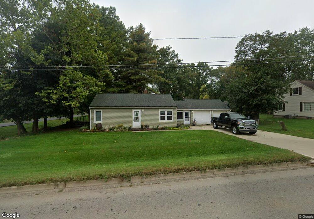
2061 W Parnall Rd Jackson, MI 49201
Estimated Value: $160,475 - $202,000
3
Beds
1
Bath
816
Sq Ft
$218/Sq Ft
Est. Value
About This Home
This home is located at 2061 W Parnall Rd, Jackson, MI 49201 and is currently estimated at $177,869, approximately $217 per square foot. 2061 W Parnall Rd is a home located in Jackson County with nearby schools including Northwest Early Elementary School, Northwest Elementary School, and Northwest Middle School.
Ownership History
Date
Name
Owned For
Owner Type
Purchase Details
Closed on
Mar 18, 2008
Sold by
Steele Harold
Bought by
Boyer James R
Current Estimated Value
Home Financials for this Owner
Home Financials are based on the most recent Mortgage that was taken out on this home.
Original Mortgage
$70,000
Outstanding Balance
$43,609
Interest Rate
5.74%
Mortgage Type
Purchase Money Mortgage
Estimated Equity
$134,260
Purchase Details
Closed on
Dec 13, 2005
Sold by
Boyer Richard A and Boyer Mary E
Bought by
Boyer Mary E and Boyer Richard A
Create a Home Valuation Report for This Property
The Home Valuation Report is an in-depth analysis detailing your home's value as well as a comparison with similar homes in the area
Home Values in the Area
Average Home Value in this Area
Purchase History
| Date | Buyer | Sale Price | Title Company |
|---|---|---|---|
| Boyer James R | $43,750 | At | |
| Boyer James R | $43,750 | At | |
| Boyer Mary E | -- | -- |
Source: Public Records
Mortgage History
| Date | Status | Borrower | Loan Amount |
|---|---|---|---|
| Open | Boyer James R | $70,000 |
Source: Public Records
Tax History Compared to Growth
Tax History
| Year | Tax Paid | Tax Assessment Tax Assessment Total Assessment is a certain percentage of the fair market value that is determined by local assessors to be the total taxable value of land and additions on the property. | Land | Improvement |
|---|---|---|---|---|
| 2025 | $1,805 | $70,900 | $0 | $0 |
| 2024 | $851 | $68,000 | $0 | $0 |
| 2023 | $811 | $61,800 | $0 | $0 |
| 2022 | $1,628 | $56,900 | $0 | $0 |
| 2021 | $1,600 | $52,700 | $0 | $0 |
| 2020 | $1,585 | $51,200 | $0 | $0 |
| 2019 | $1,546 | $50,500 | $0 | $0 |
| 2018 | $1,467 | $48,200 | $0 | $0 |
| 2017 | $1,339 | $50,600 | $0 | $0 |
| 2016 | $888 | $46,250 | $46,250 | $0 |
| 2015 | $1,209 | $39,873 | $39,873 | $0 |
| 2014 | $1,209 | $37,886 | $0 | $0 |
| 2013 | -- | $37,886 | $37,886 | $0 |
Source: Public Records
Map
Nearby Homes
- 3432 Loretta Dr
- 3335 Clinton Way
- 822 Woodworth Rd
- 3375 Clinton Way
- VL 69 Clinton Way
- VL 29 Clinton Way
- VL 40 Clinton Way
- VL Morrill Rd
- 2410 Shirley Dr
- 1574 Cunningham Rd
- 3935 Sycamore St
- 0 Shirley Dr Unit 24064060
- 3840 Jarrow St
- 3363 Buckthorn Cir
- 135 Peacock Walk
- 3884 Shoreham St
- 0 Burt Ave
- 737 Royal Dr
- 550 Royal Dr
- 5123 S Granite St
- 2065 W Parnall Rd
- 2230 Saines Manor Dr
- 2071 W Parnall Rd
- 2228 Saines Manor Dr
- 2056 W Parnall Rd
- 2226 Saines Manor Dr
- 2050 W Parnall Rd
- 2081 W Parnall Rd
- 2170 W Parnall Rd
- 2234 Saines Manor Dr
- 3405 Hilda St
- 2238 Saines Manor Dr
- 2225 W Parnall Rd
- 2174 W Parnall Rd
- 2231 Saines Manor Dr
- 2227 Saines Manor Dr
- 3409 Hilda St
- 2242 Saines Manor Dr
- 3408 Hilda St
- 2229 W Parnall Rd