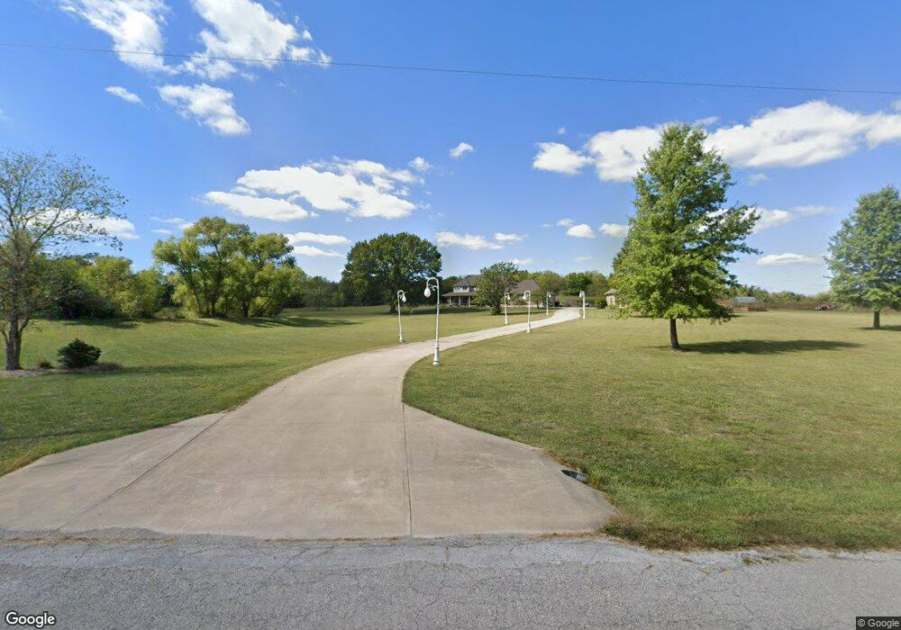
20610 Bogar Cir Belton, MO 64012
Estimated Value: $566,000 - $1,005,000
4
Beds
4
Baths
5,004
Sq Ft
$159/Sq Ft
Est. Value
About This Home
This home is located at 20610 Bogar Cir, Belton, MO 64012 and is currently estimated at $796,590, approximately $159 per square foot. 20610 Bogar Cir is a home located in Cass County with nearby schools including Cambridge Elementary School, Mill Creek Upper Elementary School, and Belton Middle School.
Ownership History
Date
Name
Owned For
Owner Type
Purchase Details
Closed on
Oct 27, 2005
Sold by
Carmichael Danny R and Ryan Theresa
Bought by
Blankenship David C and Blankenship Lori A
Current Estimated Value
Home Financials for this Owner
Home Financials are based on the most recent Mortgage that was taken out on this home.
Original Mortgage
$380,000
Outstanding Balance
$195,577
Interest Rate
5.25%
Mortgage Type
Adjustable Rate Mortgage/ARM
Estimated Equity
$601,013
Create a Home Valuation Report for This Property
The Home Valuation Report is an in-depth analysis detailing your home's value as well as a comparison with similar homes in the area
Purchase History
| Date | Buyer | Sale Price | Title Company |
|---|---|---|---|
| Blankenship David C | -- | -- |
Source: Public Records
Mortgage History
| Date | Status | Borrower | Loan Amount |
|---|---|---|---|
| Open | Blankenship David C | $380,000 |
Source: Public Records
Tax History
| Year | Tax Paid | Tax Assessment Tax Assessment Total Assessment is a certain percentage of the fair market value that is determined by local assessors to be the total taxable value of land and additions on the property. | Land | Improvement |
|---|---|---|---|---|
| 2025 | $7,479 | $125,630 | $11,600 | $114,030 |
| 2024 | $7,479 | $113,010 | $10,550 | $102,460 |
| 2023 | $7,450 | $113,010 | $10,550 | $102,460 |
| 2022 | $6,626 | $98,920 | $10,550 | $88,370 |
| 2021 | $6,764 | $98,920 | $10,550 | $88,370 |
| 2020 | $6,986 | $99,950 | $10,550 | $89,400 |
| 2019 | $6,882 | $99,950 | $10,550 | $89,400 |
| 2018 | $6,291 | $90,350 | $6,500 | $83,850 |
| 2017 | $6,046 | $90,350 | $6,500 | $83,850 |
| 2016 | $6,046 | $86,440 | $6,500 | $79,940 |
| 2015 | $6,046 | $86,440 | $6,500 | $79,940 |
| 2014 | $6,071 | $86,440 | $6,500 | $79,940 |
| 2013 | -- | $86,440 | $6,500 | $79,940 |
Source: Public Records
Map
Nearby Homes
- 21121 S Cleveland Ave
- Tract 'D' 214th St
- 0 S Cleveland Ave
- 21503 S State Route Y
- 21302 SE Clover Hills Rd
- 19618 S Mullen Rd
- 21800 S Martha Rd
- 6007 Trott Rd
- 6803 E State Route Yy
- 1205 E 203rd St
- LOT 3 Oak St
- LOT 4 Oak St
- LOT 1 Oak St
- LOT 2 Oak St
- 18607 S Askew Ave
- 18802 S Lakeside Ln
- 18714 S Lakeside Ln
- 8009 Missouri Yy
- 1204 E 223rd St
- 1112 S Scott Ave
- 4609 E 205th St
- 20611 Bogar Cir
- 20710 Bogar Cir
- 20711 Bogar Cir
- 4905 E 205th St
- 4900 E 205th St
- 20407 S Cottonwood Dr
- 5003 E 205th St
- 5001 E 205th St
- 20802 Bogar Cir
- 4415 E 205th St
- 20611 S Cleveland Ave
- 20519 S Cleveland Ave
- 4304 E 205th St
- 5105 E 205th St
- 4904 E 205th St
- 20803 Bogar Cir
- Lot 7 Cleveland Rd
- Lot 6 Cleveland Rd
- Lot 5 Cleveland Rd
Your Personal Tour Guide
Ask me questions while you tour the home.