20617 Emily Rd Unit 1A Bayside, NY 11360
Bayside NeighborhoodEstimated Value: $603,778 - $639,000
--
Bed
--
Bath
731
Sq Ft
$847/Sq Ft
Est. Value
About This Home
This home is located at 20617 Emily Rd Unit 1A, Bayside, NY 11360 and is currently estimated at $619,195, approximately $847 per square foot. 20617 Emily Rd Unit 1A is a home located in Queens County with nearby schools including P.S. 209 - Clearview Gardens, J.H.S. 194 William Carr, and Bayside High School.
Ownership History
Date
Name
Owned For
Owner Type
Purchase Details
Closed on
Oct 4, 2023
Sold by
Bacchus Imram
Bought by
Bechan Maylene
Current Estimated Value
Purchase Details
Closed on
Dec 2, 1997
Sold by
Roosevelt Svgs Bank
Bought by
Bacchus Imran
Home Financials for this Owner
Home Financials are based on the most recent Mortgage that was taken out on this home.
Original Mortgage
$94,500
Interest Rate
7.75%
Mortgage Type
Purchase Money Mortgage
Create a Home Valuation Report for This Property
The Home Valuation Report is an in-depth analysis detailing your home's value as well as a comparison with similar homes in the area
Home Values in the Area
Average Home Value in this Area
Purchase History
| Date | Buyer | Sale Price | Title Company |
|---|---|---|---|
| Bechan Maylene | -- | -- | |
| Bacchus Imran | $135,000 | Chicago Title Insurance Co |
Source: Public Records
Mortgage History
| Date | Status | Borrower | Loan Amount |
|---|---|---|---|
| Previous Owner | Bacchus Imran | $94,500 |
Source: Public Records
Tax History Compared to Growth
Tax History
| Year | Tax Paid | Tax Assessment Tax Assessment Total Assessment is a certain percentage of the fair market value that is determined by local assessors to be the total taxable value of land and additions on the property. | Land | Improvement |
|---|---|---|---|---|
| 2025 | $4,868 | $25,688 | $2,839 | $22,849 |
| 2024 | $4,868 | $24,235 | $3,032 | $21,203 |
| 2023 | $4,868 | $24,235 | $2,582 | $21,653 |
| 2022 | $4,727 | $27,319 | $3,114 | $24,205 |
| 2021 | $4,701 | $25,046 | $3,114 | $21,932 |
| 2020 | $4,531 | $24,758 | $3,114 | $21,644 |
| 2019 | $4,225 | $22,760 | $3,114 | $19,646 |
| 2018 | $4,117 | $20,196 | $2,590 | $17,606 |
| 2017 | $4,022 | $19,732 | $2,581 | $17,151 |
| 2016 | $3,722 | $19,732 | $2,581 | $17,151 |
| 2015 | $2,245 | $17,839 | $3,107 | $14,732 |
| 2014 | $2,245 | $16,830 | $3,114 | $13,716 |
Source: Public Records
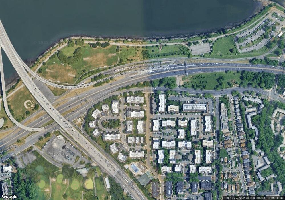
Map
Nearby Homes
- 20607 Emily Rd Unit 3
- 12-06 Robin Ln Unit 1028
- 12-31 Robin Ln Unit Triplex
- 12-36 Estates Ln Unit 49 L
- 12-35 Robin Ln Unit Upper
- 13-36 Robin Ln Unit 70 U
- 12-34 Diane Place Unit 205 U
- 13-25 Estates Ln Unit 3F
- 208-06 Robert Rd Unit 2
- 1404 Bonnie Ln Unit 15803
- 14-04 Michael Place Unit 113 U
- 208-08 Estates Dr Unit 22125
- 207-30 Jordan Dr Unit 97U
- 15-01 Jordan Ct Unit 104M
- 15-01 Jordan Ct Unit 104 U
- 13-10 212th St Unit 118
- 20817 15th Rd
- 210 E 15th St Unit 2N
- 210 E 15th St Unit PHD
- 210 E 15th St Unit 10E
- 20617 Emily Rd
- 20617 Emily Rd Unit 12
- 206-17 Emily Rd Unit 1002
- 206-17 Emily Rd Unit 1U
- 20615 Emily Rd Unit 2M
- 20615 Emily Rd
- 20615 Emily Rd Unit 23
- 206-15 Emily Rd Unit 3
- 206-15 Emily Rd Unit 2 L
- 20611 Emily Rd Unit 32
- 20611 Emily Rd
- 20611 Emily Rd
- 206-11 Emily Rd
- 206-11 Emily Rd Unit 3L
- 20609 Emily Rd Unit 42
- 20609 Emily Rd
- 20609 Emily Rd
- 206-09 Emily Rd Unit 2
- 206-09 Emily Rd Unit 3Fl
- 206-09 Emily Rd