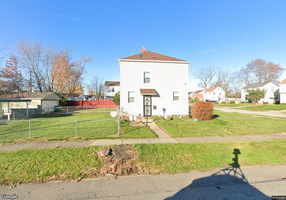
20618 Clare Ave Maple Heights, OH 44137
Estimated Value: $99,000 - $143,000
2
Beds
1
Bath
1,100
Sq Ft
$103/Sq Ft
Est. Value
About This Home
This home is located at 20618 Clare Ave, Maple Heights, OH 44137 and is currently estimated at $113,590, approximately $103 per square foot. 20618 Clare Ave is a home located in Cuyahoga County with nearby schools including Abraham Lincoln Elementary School, Rockside/ J.F. Kennedy School, and Italy High School.
Ownership History
Date
Name
Owned For
Owner Type
Purchase Details
Closed on
Apr 18, 2003
Sold by
Corey David C and Corey Robert
Bought by
Linder Cynthia
Current Estimated Value
Home Financials for this Owner
Home Financials are based on the most recent Mortgage that was taken out on this home.
Original Mortgage
$83,500
Interest Rate
9.99%
Purchase Details
Closed on
May 22, 1998
Sold by
Carter Elizabeth S
Bought by
Corey David C and Corey Robert
Home Financials for this Owner
Home Financials are based on the most recent Mortgage that was taken out on this home.
Original Mortgage
$60,941
Interest Rate
7.27%
Mortgage Type
FHA
Purchase Details
Closed on
Jul 8, 1975
Sold by
Carter Paul E and Carter Elizabeth S
Bought by
Elizabeth S Carter
Purchase Details
Closed on
Jan 1, 1975
Bought by
Carter Paul E and Carter Elizabeth S
Create a Home Valuation Report for This Property
The Home Valuation Report is an in-depth analysis detailing your home's value as well as a comparison with similar homes in the area
Home Values in the Area
Average Home Value in this Area
Purchase History
| Date | Buyer | Sale Price | Title Company |
|---|---|---|---|
| Linder Cynthia | $83,500 | Guardian Title | |
| Corey David C | $61,000 | Transcounty Title Agency Inc | |
| Elizabeth S Carter | -- | -- | |
| Carter Paul E | -- | -- |
Source: Public Records
Mortgage History
| Date | Status | Borrower | Loan Amount |
|---|---|---|---|
| Previous Owner | Linder Cynthia | $83,500 | |
| Previous Owner | Corey David C | $60,941 |
Source: Public Records
Tax History Compared to Growth
Tax History
| Year | Tax Paid | Tax Assessment Tax Assessment Total Assessment is a certain percentage of the fair market value that is determined by local assessors to be the total taxable value of land and additions on the property. | Land | Improvement |
|---|---|---|---|---|
| 2024 | $2,254 | $34,685 | $7,140 | $27,545 |
| 2023 | $1,499 | $21,640 | $4,310 | $17,330 |
| 2022 | $2,319 | $21,630 | $4,305 | $17,325 |
| 2021 | $2,470 | $21,630 | $4,310 | $17,330 |
| 2020 | $2,113 | $16,380 | $3,260 | $13,130 |
| 2019 | $2,101 | $46,800 | $9,300 | $37,500 |
| 2018 | $1,994 | $16,380 | $3,260 | $13,130 |
| 2017 | $2,052 | $15,680 | $3,010 | $12,670 |
| 2016 | $1,985 | $15,680 | $3,010 | $12,670 |
| 2015 | $1,985 | $15,680 | $3,010 | $12,670 |
| 2014 | $1,985 | $17,230 | $3,330 | $13,900 |
Source: Public Records
Map
Nearby Homes
- 20701 Kenyon Dr
- 20814 Kenyon Dr
- 20510 Mountville Dr
- 20107 Libby Rd
- 21102 Raymond St
- 20814 Watson Rd
- 21207 Franklin Rd
- 20715 Watson Rd
- 20907 Watson Rd
- 21416 Gardenview Dr
- 19807 Gardenview Dr
- 19806 Mountville Dr
- 19812 Stockton Ave
- 20120 Mccracken Rd
- 19520 Maple Heights Blvd
- 19289 Stafford Ave
- 20625 Centuryway Rd
- 20750 Bowling Green Rd
- 5165 Camden Rd
- 19309 Nitra Ave
- 20614 Clare Ave
- 20610 Clare Ave
- 20702 Clare Ave
- 20619 Gardenview Dr
- 20606 Clare Ave
- 20615 Gardenview Dr
- 20706 Clare Ave
- 20611 Gardenview Dr
- 20703 Gardenview Dr
- 20602 Clare Ave
- 20619 Clare Ave
- 20607 Gardenview Dr
- 20615 Clare Ave
- 20710 Clare Ave
- 20707 Gardenview Dr
- 20611 Clare Ave
- 20703 Clare Ave
- 20603 Gardenview Dr
- 20516 Clare Ave
- 20711 Gardenview Dr