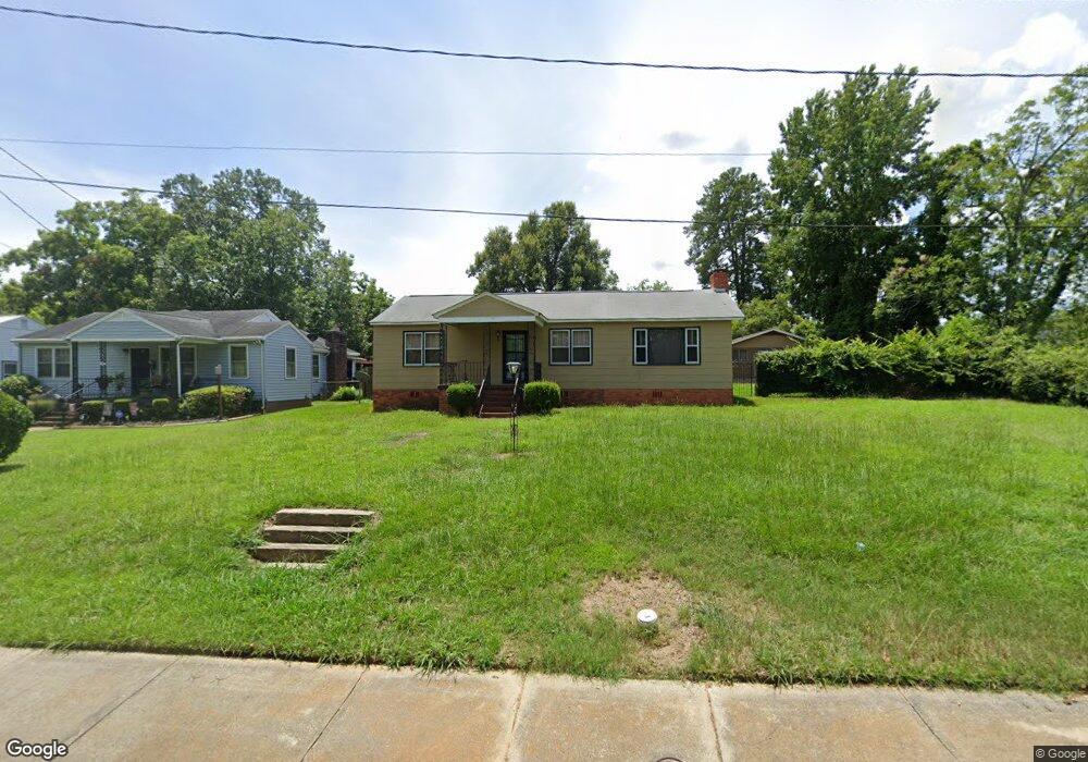
2062 Edgar St Augusta, GA 30904
West End NeighborhoodEstimated Value: $94,000 - $139,388
About This Home
This home is located at 2062 Edgar St, Augusta, GA 30904 and is currently estimated at $116,097, approximately $85 per square foot. 2062 Edgar St is a home located in Richmond County with nearby schools including Lamar Elementary School, W.S. Hornsby Elementary School, and Johnson Magnet.
Ownership History
We collect this data history from publicly available records. To have your information removed, we recommend requesting removal directly through your county’s website.
Purchase Details
Home Financials for this Owner
Home Financials are based on the most recent Mortgage that was taken out on this home.Purchase Details
Home Values in the Area
Average Home Value in this Area
Purchase History
We collect this data history from publicly available records. To have your information removed, we recommend requesting removal directly through your county’s website.
| Date | Buyer | Sale Price | Title Company |
|---|---|---|---|
| $40,000 | -- | ||
| -- | None Available |
Mortgage History
We collect this data history from publicly available records. To have your information removed, we recommend requesting removal directly through your county’s website.
| Date | Status | Borrower | Loan Amount |
|---|---|---|---|
| Closed | $29,000 |
Tax History
We collect this data history from publicly available records. To have your information removed, we recommend requesting removal directly through your county’s website.
| Year | Tax Paid | Tax Assessment Tax Assessment Total Assessment is a certain percentage of the fair market value that is determined by local assessors to be the total taxable value of land and additions on the property. | Land | Improvement |
|---|---|---|---|---|
| 2025 | $385 | $51,276 | $4,704 | $46,572 |
| 2024 | $385 | $50,808 | $4,704 | $46,104 |
| 2023 | $1,786 | $59,936 | $4,704 | $55,232 |
| 2022 | $1,479 | $38,224 | $4,704 | $33,520 |
| 2021 | $1,332 | $30,426 | $4,723 | $25,703 |
| 2020 | $1,292 | $29,703 | $4,000 | $25,703 |
| 2019 | $1,362 | $29,703 | $4,000 | $25,703 |
| 2018 | $1,055 | $29,703 | $4,000 | $25,703 |
| 2017 | $1,366 | $29,703 | $4,000 | $25,703 |
| 2016 | $1,152 | $23,668 | $4,000 | $19,668 |
| 2015 | $1,158 | $23,668 | $4,000 | $19,668 |
| 2014 | $1,072 | $21,258 | $4,000 | $17,258 |
Map
- 2025 Ellis St
- 23 Curry St
- 2018 Greene St
- 2166 Greene St
- 2168 Telfair St
- 1933 Telfair St
- 531 Carr St
- 2200 Country Club Ct
- 513 Beaufort Dr
- 1934 Battle Row
- 501 Milledge Rd Unit 5C
- 1916 Walker St
- 1929 Watkins St
- 1915 Watkins St
- 2223 Morningside Dr
- 2048 Battle Row Unit C, D
- 413 Crawford Ave
- 2015 Starnes St
- 2012 Starnes St
- 2008 Starnes St
Ask me questions while you tour the home.