2062 Highway 44 E McComb, MS 39648
Estimated Value: $170,000 - $269,536
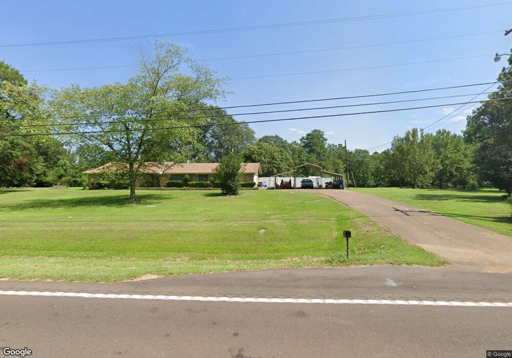
About This Home
This home is located at 2062 Highway 44 E, McComb, MS 39648 and is currently estimated at $236,634, approximately $93 per square foot. 2062 Highway 44 E is a home with nearby schools including North Pike Elementary School, North Pike Middle School, and North Pike Senior High School.
Ownership History
We collect this data history from publicly available records. To have your information removed, we recommend requesting removal directly through your county’s website.
Purchase Details
Home Financials for this Owner
Home Financials are based on the most recent Mortgage that was taken out on this home.Purchase Details
Home Financials for this Owner
Home Financials are based on the most recent Mortgage that was taken out on this home.Purchase History
We collect this data history from publicly available records. To have your information removed, we recommend requesting removal directly through your county’s website.
| Date | Buyer | Sale Price | Title Company |
|---|---|---|---|
| -- | None Available | ||
| -- | None Available |
Mortgage History
We collect this data history from publicly available records. To have your information removed, we recommend requesting removal directly through your county’s website.
| Date | Status | Borrower | Loan Amount |
|---|---|---|---|
| Open | $159,500 | ||
| Previous Owner | $148,400 |
Tax History
We collect this data history from publicly available records. To have your information removed, we recommend requesting removal directly through your county’s website.
| Year | Tax Paid | Tax Assessment Tax Assessment Total Assessment is a certain percentage of the fair market value that is determined by local assessors to be the total taxable value of land and additions on the property. | Land | Improvement |
|---|---|---|---|---|
| 2025 | -- | $12,747 | $0 | $0 |
| 2024 | -- | $10,714 | $0 | $0 |
| 2023 | $424 | $10,714 | $0 | $0 |
| 2022 | $410 | $10,653 | $0 | $0 |
| 2021 | $409 | $10,595 | $0 | $0 |
| 2020 | $475 | $11,082 | $0 | $0 |
| 2019 | $464 | $11,082 | $0 | $0 |
| 2018 | $461 | $11,082 | $0 | $0 |
| 2017 | $451 | $11,082 | $0 | $0 |
| 2016 | $1,848 | $16,623 | $0 | $0 |
| 2015 | $1,816 | $16,721 | $0 | $0 |
| 2014 | $1,776 | $16,721 | $0 | $0 |
| 2013 | -- | $16,721 | $0 | $0 |
Map
- TBD Hwy 44e
- 0 Deer Ridge Rd
- 1148 Morgantown Rd
- 1028 Chester Reeves Rd
- 0 Morgantown Rd Unit 4125975
- No Integrity Rd
- 0 Integrity Rd
- 1114 Pearl River Ave
- 1046 Integrity
- 1031 Pearl River Ave
- 126 N Chestnut St
- 809 Saint Augustine Extension
- 133 N Live Oak St
- 219 S Live Oak St
- 143 N Myrtle St
- 1002 Pershing St
- 0 McComb Holmesville Rd
- 415 N Magnolia St
- 318 S Cherry St
- 2190 Summit Holmesville Rd
- 2062 Highway 44 E
- 2062 Mississippi 44
- 2060 Highway 44 E
- 2062 Hwy 44e
- 2074 Highway 44 E
- 2074 Hwy 44e
- 2053 Highway 44 E
- 2059 Mississippi 44
- 2059 Highway 44 E
- 2078 Highway 44 E
- 1024 Boone Rd
- 2073 Highway 44 E
- 2086 Highway 44 E
- 1040 Boone Rd
- 1021 Boone Rd
- 1027 Boone Rd
- 2036 Hwy 44e
- 2045 Highway 44 E
- 2045 Hwy 44e
- 2045 Ms Hwy 44e
Ask me questions while you tour the home.