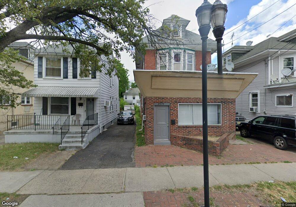
2062 S Broad St Trenton, NJ 08610
Estimated Value: $270,000 - $297,000
2
Beds
2
Baths
1,008
Sq Ft
$281/Sq Ft
Est. Value
About This Home
This home is located at 2062 S Broad St, Trenton, NJ 08610 and is currently estimated at $283,474, approximately $281 per square foot. 2062 S Broad St is a home located in Mercer County with nearby schools including Lalor Elementary School, Albert E. Grice Middle School, and Hamilton West-Watson High School.
Ownership History
Date
Name
Owned For
Owner Type
Purchase Details
Closed on
Sep 30, 2011
Sold by
Secretary Of Housing & Urban Development
Bought by
Sabir Irfan
Current Estimated Value
Purchase Details
Closed on
Oct 21, 2010
Sold by
Krol Steven D
Bought by
Secretary Of Housing & Urban Development
Create a Home Valuation Report for This Property
The Home Valuation Report is an in-depth analysis detailing your home's value as well as a comparison with similar homes in the area
Home Values in the Area
Average Home Value in this Area
Purchase History
| Date | Buyer | Sale Price | Title Company |
|---|---|---|---|
| Sabir Irfan | $44,000 | Emerald Title | |
| Secretary Of Housing & Urban Development | $124,070 | None Available |
Source: Public Records
Tax History Compared to Growth
Tax History
| Year | Tax Paid | Tax Assessment Tax Assessment Total Assessment is a certain percentage of the fair market value that is determined by local assessors to be the total taxable value of land and additions on the property. | Land | Improvement |
|---|---|---|---|---|
| 2025 | $3,602 | $102,200 | $22,500 | $79,700 |
| 2024 | $3,376 | $102,200 | $22,500 | $79,700 |
| 2023 | $3,376 | $102,200 | $22,500 | $79,700 |
| 2022 | $3,323 | $102,200 | $22,500 | $79,700 |
| 2021 | $4,112 | $102,200 | $22,500 | $79,700 |
| 2020 | $3,744 | $102,200 | $22,500 | $79,700 |
| 2019 | $3,633 | $102,200 | $22,500 | $79,700 |
| 2018 | $3,585 | $102,200 | $22,500 | $79,700 |
| 2017 | $3,426 | $102,200 | $22,500 | $79,700 |
| 2016 | $2,763 | $102,200 | $22,500 | $79,700 |
| 2015 | $3,365 | $64,600 | $11,300 | $53,300 |
| 2014 | $3,321 | $64,600 | $11,300 | $53,300 |
Source: Public Records
Map
Nearby Homes
- 2033 Genesee St
- 109 E Park Ave
- 1961 S Broad St
- 604 Schiller Ave
- 1857 S Broad St
- 316 W Park Ave
- 1856 S Broad St
- 429 Wilfred Ave
- 238 Grand Ave
- 949 Schiller Ave
- 323 Wilfred Ave
- 34 Sewell Ave
- 229 Parkinson Ave
- 1816 Chambers St
- 218 Sewell Ave
- 229 Wilfred Ave
- 408 Berg Ave
- 27 Westcott Ave
- 314 Joseph St
- 164 Lillian Ave
- 2060 S Broad St
- 2072 S Broad St
- 2058 S Broad St
- 2056 S Broad St
- 2076 S Broad St
- 2054 S Broad St
- 2078 S Broad St
- 2025 Genesee St
- 2027 Genesee St
- 2052 S Broad St
- 2031 Genesee St
- 2080 S Broad St
- 2050 S Broad St
- 2001 Genesee St Unit 2
- 2001 Genesee St Unit 1
- 2001 Genesee St
- 4 Mary St
- 94 Mary St
- 2104 S Broad St
- 2047 S Broad St