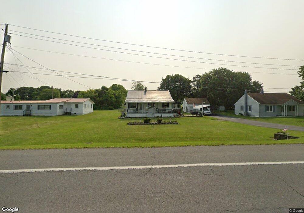
2062 Woodstock Rd Chambersburg, PA 17202
Estimated Value: $121,342 - $309,000
--
Bed
--
Bath
--
Sq Ft
0.36
Acres
About This Home
This home is located at 2062 Woodstock Rd, Chambersburg, PA 17202 and is currently estimated at $216,836. 2062 Woodstock Rd is a home located in Franklin County with nearby schools including Chambersburg Area Middle School - North, Chambersburg Area Senior High School, and Montessori Academy of Chambersburg.
Ownership History
Date
Name
Owned For
Owner Type
Purchase Details
Closed on
Feb 29, 2012
Sold by
Miller Janet L and Anderson Janet L
Bought by
Miller Janet L and Miller Terry
Current Estimated Value
Home Financials for this Owner
Home Financials are based on the most recent Mortgage that was taken out on this home.
Original Mortgage
$92,300
Interest Rate
3.86%
Mortgage Type
New Conventional
Create a Home Valuation Report for This Property
The Home Valuation Report is an in-depth analysis detailing your home's value as well as a comparison with similar homes in the area
Home Values in the Area
Average Home Value in this Area
Purchase History
| Date | Buyer | Sale Price | Title Company |
|---|---|---|---|
| Miller Janet L | -- | All Star Title Inc |
Source: Public Records
Mortgage History
| Date | Status | Borrower | Loan Amount |
|---|---|---|---|
| Closed | Miller Janet L | $92,300 |
Source: Public Records
Tax History Compared to Growth
Tax History
| Year | Tax Paid | Tax Assessment Tax Assessment Total Assessment is a certain percentage of the fair market value that is determined by local assessors to be the total taxable value of land and additions on the property. | Land | Improvement |
|---|---|---|---|---|
| 2025 | $1,665 | $10,220 | $1,210 | $9,010 |
| 2024 | $1,613 | $10,220 | $1,210 | $9,010 |
| 2023 | $1,563 | $10,220 | $1,210 | $9,010 |
| 2022 | $1,526 | $10,220 | $1,210 | $9,010 |
| 2021 | $1,526 | $10,220 | $1,210 | $9,010 |
| 2020 | $1,486 | $10,220 | $1,210 | $9,010 |
| 2019 | $1,429 | $10,220 | $1,210 | $9,010 |
| 2018 | $1,376 | $10,220 | $1,210 | $9,010 |
| 2017 | $1,329 | $10,220 | $1,210 | $9,010 |
| 2016 | $293 | $10,220 | $1,210 | $9,010 |
| 2015 | $268 | $10,040 | $1,210 | $8,830 |
| 2014 | $268 | $10,040 | $1,210 | $8,830 |
Source: Public Records
Map
Nearby Homes
- 2103 Smoketown Rd
- 1090 Ragged Edge Rd
- 177 Granny Smith Ln
- 3576 Fox Hill Dr
- 3280 Muirfield Dr
- 3271 Saint Andrews Dr
- 3512 Fox Hill Dr
- 3158 Saint Andrews Dr
- 3325 Muirfield Dr
- 3398 Braemar Ct
- 347 Leedy Way E
- 326 Leedy Way E
- 162 Harvest Ln
- 3052 Sundown Dr
- 586 Crestwood Dr
- 3056 Sundown Dr
- 1234 Thistledown Dr
- 290 Leedy Way W
- 158 Colonial Dr
- 2027 Lincoln Way E
- 2048 Woodstock Rd
- 1918 Hafer Rd
- 2061 Woodstock Rd
- 2116 Woodstock Rd
- 1938 Hafer Rd
- 1958 Hafer Rd
- 1917 Hafer Rd
- 2134 Woodstock Rd
- 1927 Hafer Rd
- 1945 Hafer Rd
- 1972 Hafer Rd
- 1941 Hafer Rd
- 1959 Hafer Rd
- 2154 Woodstock Rd
- 1975 Hafer Rd
- 2168 Woodstock Rd
- 1996 Hafer Rd
- 2182 Woodstock Rd
- 1993 Hafer Rd
- 2005 Hafer Rd