20620 NE Freedom Rd Battle Ground, WA 98604
Estimated Value: $759,042 - $813,000
3
Beds
3
Baths
2,618
Sq Ft
$299/Sq Ft
Est. Value
About This Home
This home is located at 20620 NE Freedom Rd, Battle Ground, WA 98604 and is currently estimated at $781,761, approximately $298 per square foot. 20620 NE Freedom Rd is a home located in Clark County with nearby schools including Tukes Valley Primary School, Tukes Valley Middle School, and Battle Ground High School.
Ownership History
Date
Name
Owned For
Owner Type
Purchase Details
Closed on
Jun 2, 2014
Sold by
Brotherton Jeanette M
Bought by
Gross Carolyn Ann
Current Estimated Value
Home Financials for this Owner
Home Financials are based on the most recent Mortgage that was taken out on this home.
Original Mortgage
$279,200
Outstanding Balance
$212,924
Interest Rate
4.27%
Mortgage Type
New Conventional
Estimated Equity
$568,837
Create a Home Valuation Report for This Property
The Home Valuation Report is an in-depth analysis detailing your home's value as well as a comparison with similar homes in the area
Home Values in the Area
Average Home Value in this Area
Purchase History
| Date | Buyer | Sale Price | Title Company |
|---|---|---|---|
| Gross Carolyn Ann | $348,719 | Stewart Title |
Source: Public Records
Mortgage History
| Date | Status | Borrower | Loan Amount |
|---|---|---|---|
| Open | Gross Carolyn Ann | $279,200 |
Source: Public Records
Tax History Compared to Growth
Tax History
| Year | Tax Paid | Tax Assessment Tax Assessment Total Assessment is a certain percentage of the fair market value that is determined by local assessors to be the total taxable value of land and additions on the property. | Land | Improvement |
|---|---|---|---|---|
| 2025 | $5,457 | $681,358 | $303,260 | $378,098 |
| 2024 | $4,916 | $657,322 | $303,260 | $354,062 |
| 2023 | $5,196 | $676,863 | $315,088 | $361,775 |
| 2022 | $4,809 | $654,296 | $289,659 | $364,637 |
| 2021 | $4,708 | $527,158 | $206,132 | $321,026 |
| 2020 | $4,644 | $472,391 | $215,644 | $256,747 |
| 2019 | $4,032 | $454,626 | $203,267 | $251,359 |
| 2018 | $4,683 | $453,045 | $0 | $0 |
| 2017 | $3,937 | $400,937 | $0 | $0 |
| 2015 | $3,828 | $332,724 | $0 | $0 |
| 2014 | -- | $310,274 | $0 | $0 |
| 2013 | -- | $276,919 | $0 | $0 |
Source: Public Records
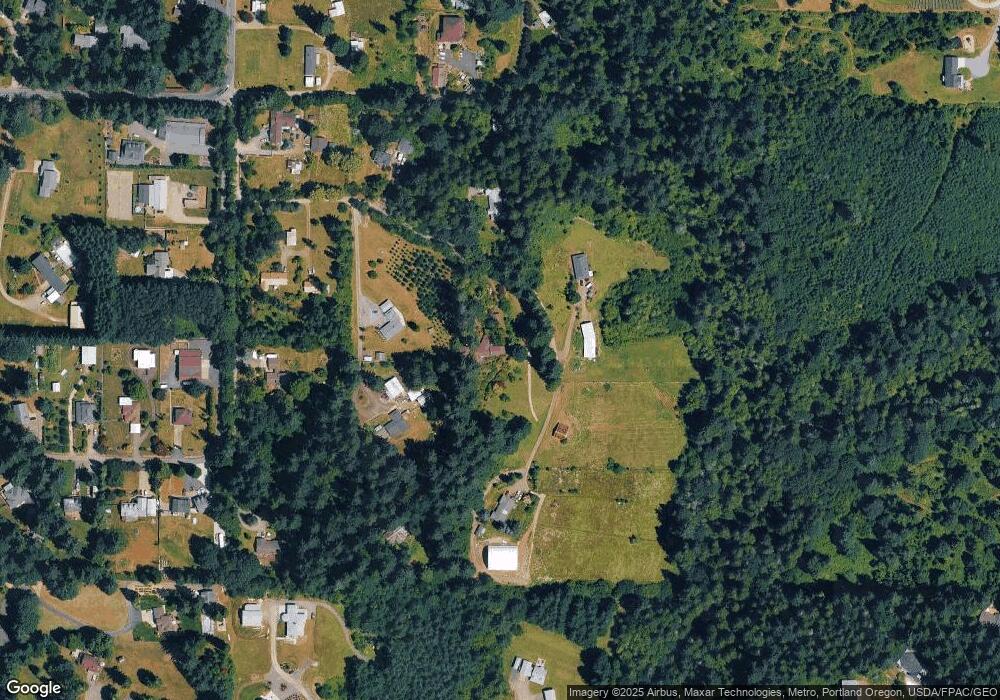
Map
Nearby Homes
- 20205 NE 190th Ave
- 19911 NE 179th Ct
- 18426 NE 191st Cir
- 21405 NE 167th Ave
- 22314 NE 182nd Ave
- 22814 NE 182nd Ave
- 22405 NE 167th Ave
- 18511 NE 181st St
- 19119 NE 204th Ave
- 21017 NE Risto Rd
- 0 NE 212th Ave
- 20015 NE 234th St
- 2312 SE Eaton Blvd
- 18717 NE 208th Ct
- 17600 NE 188th Ct
- 2344 SE 27th St
- 2704 SE 25th Ave
- 2706 SE 22nd Ave
- 2805 SE 21st Place
- 2036 SE 27th St
- 20625 NE Freedom Rd
- 20613 NE 183rd Ave
- 20509 NE 183rd Ave
- 20717 NE Freedom Rd
- 20417 NE Freedom Rd
- 20405 NE 183rd Ave
- 18207 NE 208th St
- 18207 NE 208th St
- 20811 NE Freedom Rd
- 20517 NE 182nd Ave
- 18406 NE 209th St
- 20501 NE 182nd Ave
- 18112 NE 205th Cir
- 19816 NE Lakin Rd
- 20815 NE 182nd Ave
- 20209 NE Lakin Rd
- 18115 NE 205th Cir
- 20907 NE 182nd Ave
- 20700 NE 182nd Ave
- 18601 NE 214th St