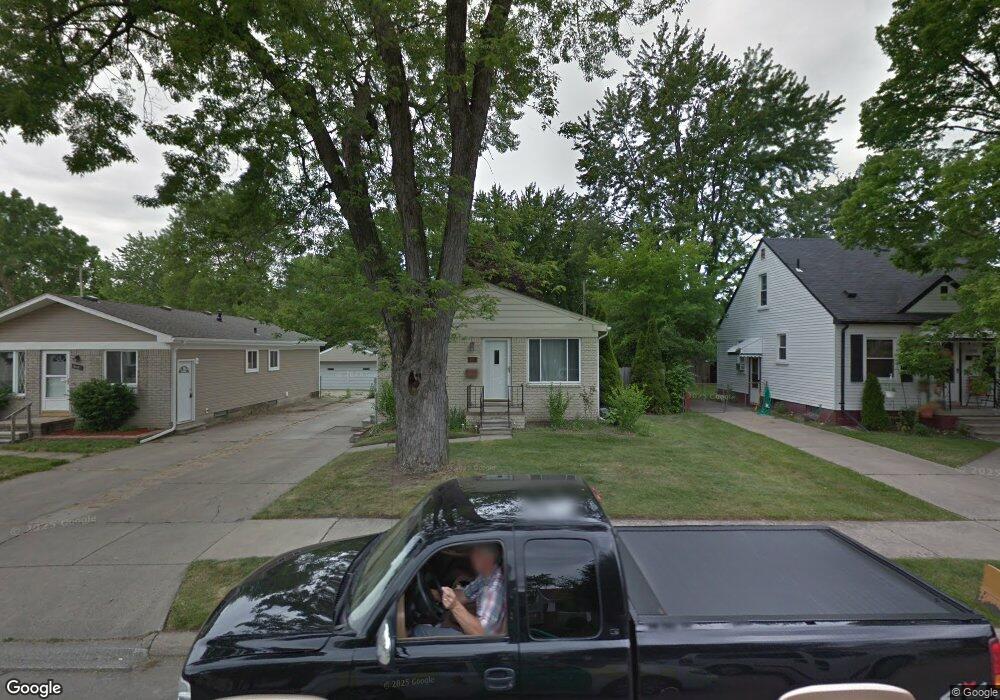
2063 Kipling Ave Berkley, MI 48072
Estimated Value: $288,567 - $310,000
3
Beds
1
Bath
971
Sq Ft
$308/Sq Ft
Est. Value
About This Home
This home is located at 2063 Kipling Ave, Berkley, MI 48072 and is currently estimated at $299,392, approximately $308 per square foot. 2063 Kipling Ave is a home located in Oakland County with nearby schools including Angell Elementary School, Anderson Middle School, and Berkley High School.
Ownership History
Date
Name
Owned For
Owner Type
Purchase Details
Closed on
Jan 11, 2018
Sold by
Linden Adam B
Bought by
Linden Erica F and Linden Stephen
Current Estimated Value
Purchase Details
Closed on
Dec 27, 2017
Sold by
Linden Gail C
Bought by
Linden Erica F and Linden Stephen
Purchase Details
Closed on
Jan 2, 2015
Sold by
Linden Adam B and Linden Gail C
Bought by
Linden Erica F and Linden Adam B
Purchase Details
Closed on
Mar 2, 2004
Sold by
Mattison Michael B and Mattison Denise E
Bought by
Linden Adam B
Create a Home Valuation Report for This Property
The Home Valuation Report is an in-depth analysis detailing your home's value as well as a comparison with similar homes in the area
Home Values in the Area
Average Home Value in this Area
Purchase History
| Date | Buyer | Sale Price | Title Company |
|---|---|---|---|
| Linden Erica F | -- | None Available | |
| Linden Erica F | -- | None Available | |
| Linden Erica F | -- | None Available | |
| Linden Adam B | -- | Metropolitan Title Company | |
| Linden Adam B | -- | Metropolitan Title Company |
Source: Public Records
Tax History
| Year | Tax Paid | Tax Assessment Tax Assessment Total Assessment is a certain percentage of the fair market value that is determined by local assessors to be the total taxable value of land and additions on the property. | Land | Improvement |
|---|---|---|---|---|
| 2025 | $3,651 | $129,310 | $0 | $0 |
| 2024 | $3,509 | $121,320 | $0 | $0 |
| 2023 | $2,354 | $110,800 | $0 | $0 |
| 2022 | $2,353 | $101,740 | $0 | $0 |
| 2021 | $2,301 | $96,570 | $0 | $0 |
| 2020 | $2,201 | $92,310 | $0 | $0 |
| 2019 | $2,311 | $87,170 | $0 | $0 |
| 2018 | $2,210 | $79,340 | $0 | $0 |
| 2017 | $2,182 | $75,840 | $0 | $0 |
| 2016 | $2,203 | $71,130 | $0 | $0 |
| 2015 | -- | $65,120 | $0 | $0 |
| 2014 | -- | $58,760 | $0 | $0 |
| 2011 | -- | $49,810 | $0 | $0 |
Source: Public Records
Map
Nearby Homes
- 1975 Kipling Ave
- 2863 Columbia Rd
- 1888 Griffith Ave
- 2679 Oxford Rd
- 2427 Harvard Rd
- 2438 Columbia Rd
- 2435 Sunnyknoll Ave
- 2330 Buckingham Ave
- 3050 Catalpa Dr
- 2616 Kenmore Rd
- 14421 Labelle St
- 14611 Kingston St
- 2813 Kipling Ave
- 2795 Robina Ave
- 2828 Robina Ave
- 2056 Columbia Rd
- 13344 Hart Ave
- 1977 Princeton Rd
- 14670 Talbot St
- 14241 Nadine St
- 2069 Kipling Ave
- 2037 Kipling Ave Unit Bldg-Unit
- 2037 Kipling Ave
- 2079 Kipling Ave
- 2873 Harvard Rd
- 2011 Kipling Ave
- 2089 Kipling Ave
- 1989 Kipling Ave
- 2060 Kipling Ave
- 2773 Harvard Rd
- 2893 Harvard Rd
- 2040 Kipling Ave
- 2909 Harvard Rd
- 2020 Kipling Ave
- 2115 Kipling Ave
- 1963 Kipling Ave
- 1990 Kipling Ave
- 2741 Harvard Rd
- 1953 Kipling Ave
- 2874 Harvard Rd
Your Personal Tour Guide
Ask me questions while you tour the home.