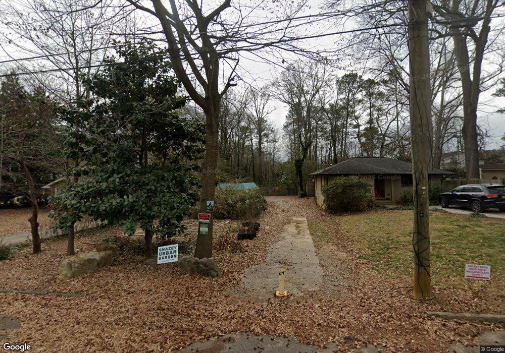
2063 Swazey Dr Unit 6 Decatur, GA 30032
East Lake NeighborhoodEstimated Value: $198,577 - $276,000
2
Beds
1
Bath
927
Sq Ft
$244/Sq Ft
Est. Value
About This Home
This home is located at 2063 Swazey Dr Unit 6, Decatur, GA 30032 and is currently estimated at $226,526, approximately $244 per square foot. 2063 Swazey Dr Unit 6 is a home located in DeKalb County with nearby schools including McNair Middle School, McNair High School, and Charles Drew Charter School.
Ownership History
Date
Name
Owned For
Owner Type
Purchase Details
Closed on
Jan 4, 2017
Sold by
John
Bought by
Ecotone Llc
Current Estimated Value
Purchase Details
Closed on
Aug 19, 2002
Sold by
Bankers Tu Co
Bought by
Wuicket John and Wuicket Janet
Home Financials for this Owner
Home Financials are based on the most recent Mortgage that was taken out on this home.
Original Mortgage
$84,600
Interest Rate
6.31%
Mortgage Type
New Conventional
Purchase Details
Closed on
Apr 2, 2002
Sold by
Provst Marilyn
Bought by
Bankers Tr Co Ca
Purchase Details
Closed on
Aug 18, 2000
Sold by
Barnes Zeader
Bought by
Provst Marilyn
Home Financials for this Owner
Home Financials are based on the most recent Mortgage that was taken out on this home.
Original Mortgage
$132,000
Interest Rate
8.07%
Mortgage Type
New Conventional
Create a Home Valuation Report for This Property
The Home Valuation Report is an in-depth analysis detailing your home's value as well as a comparison with similar homes in the area
Home Values in the Area
Average Home Value in this Area
Purchase History
| Date | Buyer | Sale Price | Title Company |
|---|---|---|---|
| Ecotone Llc | -- | -- | |
| Wuicket John | $94,000 | -- | |
| Bankers Tr Co Ca | $119,000 | -- | |
| Provst Marilyn | $165,000 | -- |
Source: Public Records
Mortgage History
| Date | Status | Borrower | Loan Amount |
|---|---|---|---|
| Previous Owner | Wuicket John | $84,600 | |
| Previous Owner | Provst Marilyn | $132,000 |
Source: Public Records
Tax History Compared to Growth
Tax History
| Year | Tax Paid | Tax Assessment Tax Assessment Total Assessment is a certain percentage of the fair market value that is determined by local assessors to be the total taxable value of land and additions on the property. | Land | Improvement |
|---|---|---|---|---|
| 2025 | $2,221 | $40,520 | $40,520 | -- |
| 2024 | $2,213 | $40,520 | $40,520 | -- |
| 2023 | $2,213 | $28,000 | $28,000 | $0 |
| 2022 | $610 | $28,000 | $28,000 | $0 |
| 2021 | $610 | $32,000 | $32,000 | $0 |
| 2020 | $1,737 | $32,000 | $32,000 | $0 |
| 2019 | $610 | $6,320 | $6,320 | $0 |
| 2018 | $1,243 | $52,720 | $6,320 | $46,400 |
| 2017 | $1,310 | $22,160 | $4,432 | $17,728 |
| 2016 | $1,312 | $22,160 | $4,432 | $17,728 |
| 2014 | $1,192 | $18,960 | $3,200 | $15,760 |
Source: Public Records
Map
Nearby Homes
- 2067 Swazey Dr
- 2059 Swazey Dr
- 407 Carter Ave SE
- 405 Carter Ave SE
- 409 Carter Ave SE
- 1906 Dancing Fox Rd
- 1912 Dancing Fox Rd
- 403 Carter Ave SE
- 512 Summit Dr Unit 2
- 2124 Dancing Fox Rd
- 516 Summit Dr
- 508 Summit Dr
- 411 Carter Ave SE
- 520 Summit Dr
- 2066 Swazey Dr
- 2062 Swazey Dr
- 524 Summit Dr
- 413 Carter Ave SE
- 413 Carter Ave SE
- 401 Carter Ave SE