20631 S Coos Thompson Rd Tahlequah, OK 74464
Estimated Value: $160,916 - $204,000
3
Beds
1
Bath
1,212
Sq Ft
$146/Sq Ft
Est. Value
About This Home
This home is located at 20631 S Coos Thompson Rd, Tahlequah, OK 74464 and is currently estimated at $176,479, approximately $145 per square foot. 20631 S Coos Thompson Rd is a home located in Cherokee County with nearby schools including Hulbert Elementary School, Hulbert Jr./Sr. High School, and Hulbert Senior High School.
Ownership History
Date
Name
Owned For
Owner Type
Purchase Details
Closed on
Oct 12, 2010
Sold by
Copeland Theresa
Bought by
Wallace Gerald A
Current Estimated Value
Home Financials for this Owner
Home Financials are based on the most recent Mortgage that was taken out on this home.
Original Mortgage
$94,185
Outstanding Balance
$62,035
Interest Rate
4.39%
Mortgage Type
New Conventional
Estimated Equity
$114,444
Purchase Details
Closed on
Oct 10, 2002
Sold by
Michael L Moore
Bought by
Theresa Copeland
Purchase Details
Closed on
Sep 5, 2002
Sold by
Dolores K Witcher
Bought by
Michael L Moore
Create a Home Valuation Report for This Property
The Home Valuation Report is an in-depth analysis detailing your home's value as well as a comparison with similar homes in the area
Home Values in the Area
Average Home Value in this Area
Purchase History
| Date | Buyer | Sale Price | Title Company |
|---|---|---|---|
| Wallace Gerald A | -- | Heritage Title | |
| Wallace Gerald A | $90,000 | Heritage Title | |
| Theresa Copeland | $70,000 | -- | |
| Michael L Moore | $20,500 | -- |
Source: Public Records
Mortgage History
| Date | Status | Borrower | Loan Amount |
|---|---|---|---|
| Open | Wallace Gerald A | $94,185 |
Source: Public Records
Tax History Compared to Growth
Tax History
| Year | Tax Paid | Tax Assessment Tax Assessment Total Assessment is a certain percentage of the fair market value that is determined by local assessors to be the total taxable value of land and additions on the property. | Land | Improvement |
|---|---|---|---|---|
| 2025 | $634 | $8,211 | $2,475 | $5,736 |
| 2024 | $634 | $8,224 | $2,442 | $5,782 |
| 2023 | $634 | $7,833 | $998 | $6,835 |
| 2022 | $610 | $7,833 | $998 | $6,835 |
| 2021 | $616 | $7,833 | $998 | $6,835 |
| 2020 | $606 | $7,655 | $998 | $6,657 |
| 2019 | $585 | $7,290 | $998 | $6,292 |
| 2018 | $593 | $7,290 | $998 | $6,292 |
| 2017 | $603 | $7,365 | $1,073 | $6,292 |
| 2016 | $595 | $7,197 | $1,723 | $5,474 |
| 2015 | $476 | $6,854 | $1,073 | $5,781 |
| 2014 | $476 | $6,854 | $1,073 | $5,781 |
Source: Public Records
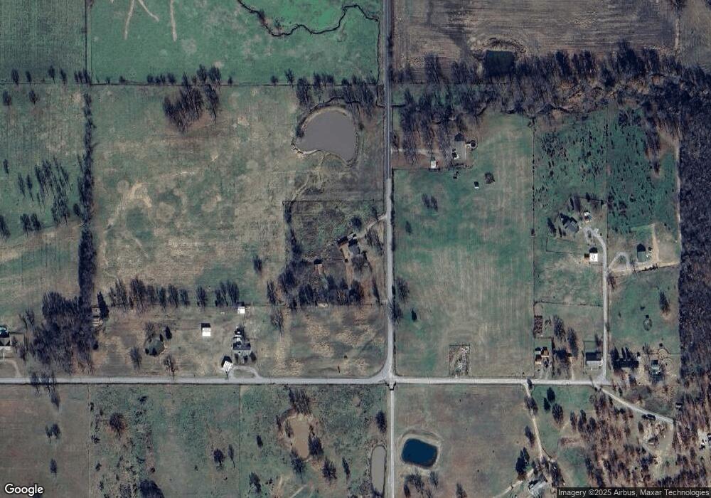
Map
Nearby Homes
- 15451 W 791 Rd
- 11261 Highway 51
- 11396 W Joyce Ln
- 10611 Oklahoma 51
- 14650 W 835 Rd
- 17488 N Vaughn Rd
- 16840 W Sierra Cir
- 0 W Shady Ln
- 21098 S 495 Rd
- 22781 S 490 Rd
- 21060 S 496 Rd
- 16605 W Sierra Cir
- 24481 S Manard Rd
- 0 S 490 Rd
- 2 S 490 Rd
- 8239 W 800 Rd
- 16289 W 810 Rd
- 16809 W 790 Rd
- 0 Hwy 62 Hwy Unit 2532149
- 0 Hwy 62 Hwy Unit 2532139
- 20550 S Coos Thompson Rd
- 12658 W 790 Rd
- 12638 W 790 Rd
- 20849 S Coos Thompson Rd
- 12664 W 790 Rd
- 12686 W 790 Rd
- 12652 W 790 Rd
- 12623 W 790 Rd
- 20951 S Coos Thompson Rd
- 20793 S 460 Rd
- 20611 S 460 Rd
- 20505 S 460 Rd
- 20336 S Coos Thompson Rd
- 20991 S 460 Rd
- 20577 S 460 Rd
- 21153 S Coos Thompson Rd
- 20235 S 460 Rd
- 21328 S Coos Thompson Rd
- 21409 S Coos Thompson Rd
- 21307 S Coos Thompson Rd