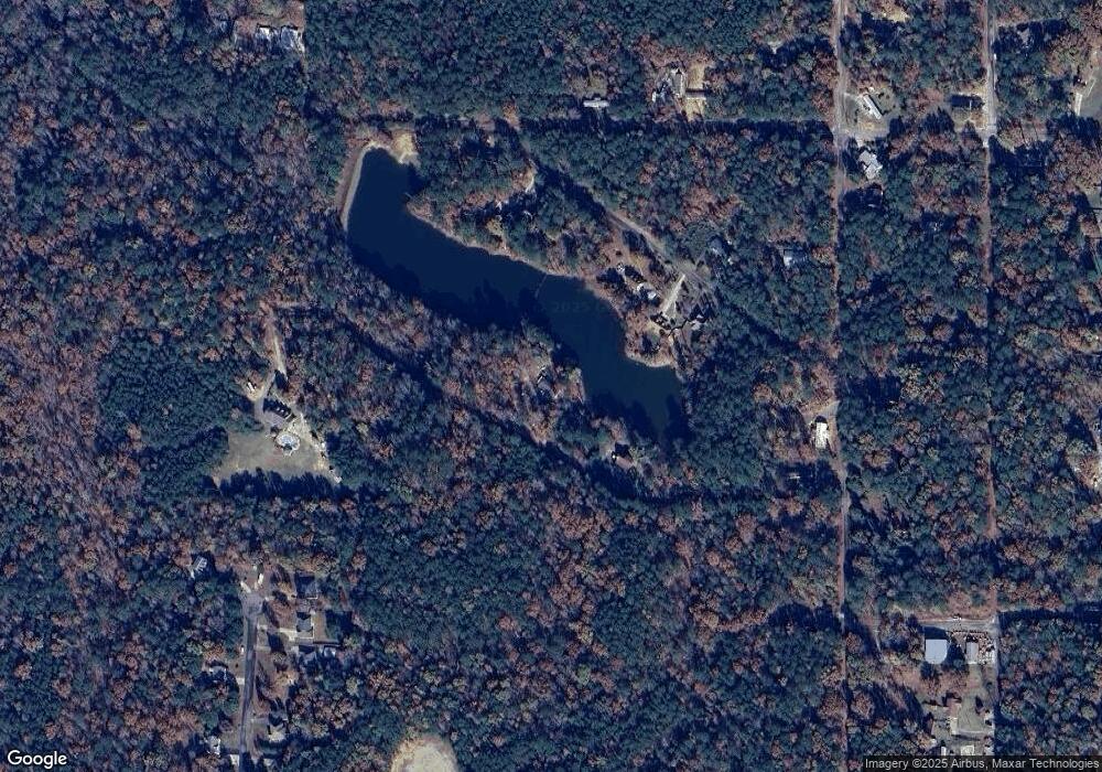
20638 Wade Dr Mc Calla, AL 35111
Estimated Value: $52,000 - $188,000
3
Beds
2
Baths
1,800
Sq Ft
$55/Sq Ft
Est. Value
About This Home
This home is located at 20638 Wade Dr, Mc Calla, AL 35111 and is currently estimated at $99,333, approximately $55 per square foot. 20638 Wade Dr is a home located in Tuscaloosa County with nearby schools including Lake View Elementary School, Brookwood Middle School, and Brookwood High School.
Ownership History
Date
Name
Owned For
Owner Type
Purchase Details
Closed on
Nov 1, 2011
Sold by
Housing And Urban Developm
Bought by
Bright Mitchell
Current Estimated Value
Purchase Details
Closed on
Jul 19, 2006
Sold by
Duncan Brenda S
Bought by
Shipp Bobby L and Shipp Shirley K
Home Financials for this Owner
Home Financials are based on the most recent Mortgage that was taken out on this home.
Original Mortgage
$110,269
Interest Rate
6.54%
Mortgage Type
FHA
Create a Home Valuation Report for This Property
The Home Valuation Report is an in-depth analysis detailing your home's value as well as a comparison with similar homes in the area
Home Values in the Area
Average Home Value in this Area
Purchase History
| Date | Buyer | Sale Price | Title Company |
|---|---|---|---|
| Bright Mitchell | $29,000 | -- | |
| Shipp Bobby L | $112,000 | -- |
Source: Public Records
Mortgage History
| Date | Status | Borrower | Loan Amount |
|---|---|---|---|
| Previous Owner | Shipp Bobby L | $110,269 |
Source: Public Records
Tax History Compared to Growth
Tax History
| Year | Tax Paid | Tax Assessment Tax Assessment Total Assessment is a certain percentage of the fair market value that is determined by local assessors to be the total taxable value of land and additions on the property. | Land | Improvement |
|---|---|---|---|---|
| 2024 | $119 | $12,280 | $3,400 | $8,880 |
| 2023 | $119 | $12,280 | $3,400 | $8,880 |
| 2022 | $119 | $12,280 | $3,400 | $8,880 |
| 2021 | $119 | $12,280 | $3,400 | $8,880 |
| 2020 | $119 | $6,140 | $1,700 | $4,440 |
| 2019 | $125 | $6,140 | $1,700 | $4,440 |
| 2018 | $119 | $6,140 | $1,700 | $4,440 |
| 2017 | $119 | $0 | $0 | $0 |
| 2016 | $66 | $0 | $0 | $0 |
| 2015 | $87 | $0 | $0 | $0 |
| 2014 | $87 | $4,980 | $1,700 | $3,280 |
Source: Public Records
Map
Nearby Homes
- 4 Hilda Dr
- 6 Broadway Dr
- 20 Broadway Dr
- 0 Teddy Dr Unit 21437154
- 0 Teddy Dr Unit 171907
- 0 Teddy Dr Unit 7 21411900
- 20456 Hephzibah Church Rd
- 20391 Castle Ridge Rd Unit 122
- 12690 Woodland Lake Rd
- 00 Half Circle Dr
- 20379 Castle Ridge Rd Unit 122
- 20367 Castle Ridge Rd Unit 126
- 12799 Woodland Lake Rd Unit 12
- 12799 Woodland Lake Rd Unit 7
- 12799 Woodland Lake Rd Unit 11
- 12799 Woodland Lake Rd
- 12799 Woodland Lake Rd Unit 8
- 12799 Woodland Lake Rd Unit 6
- 12682 Woodland Lake Rd
- 12796 Woodland Lake Rd
- 0 Wade Dr Unit 13
- 20658 Wade Dr
- 20081 Nellie Dr
- 20081 Nellie Dr Unit lot 9-10 blk81
- 20093 Nellie Dr
- 20065 Nellie Dr
- 20065 Nellie Dr Unit 13
- 20077 Nellie Dr
- Lot 3 Nellie Dr Unit 3
- 20082 Nellie Dr
- 20071 Nellie Dr
- 20491 Wade Dr
- 0 Nellie Dr Unit 8 537864
- 8888 Nellie Dr Unit LOT 9
- 0 Nellie Dr Unit 8 535215
- 0 Nellie Dr Unit 7 537865
- 55 Teddy Dr
- 12904 Teddy Dr
- 12847 Abby Ln
- 12841 Abby Ln
