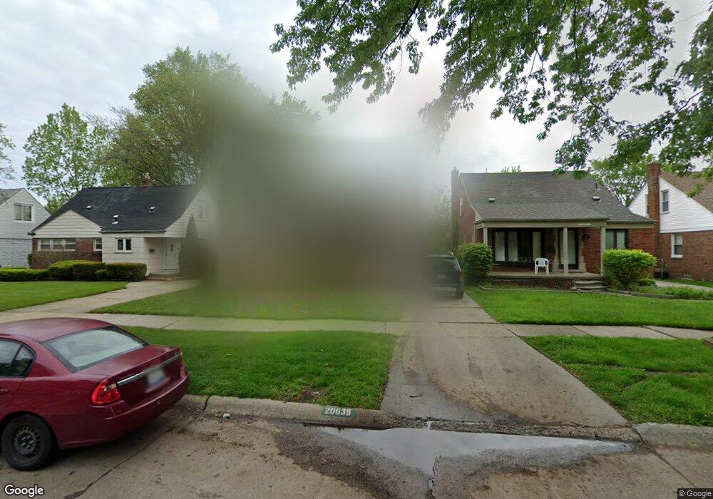
20639 Lancaster St Harper Woods, MI 48225
Estimated Value: $182,000 - $217,000
4
Beds
2
Baths
1,457
Sq Ft
$137/Sq Ft
Est. Value
About This Home
This home is located at 20639 Lancaster St, Harper Woods, MI 48225 and is currently estimated at $200,045, approximately $137 per square foot. 20639 Lancaster St is a home located in Wayne County with nearby schools including Parcells Middle School, Grosse Pointe North High School, and Distinctive College Prep: Harper Woods.
Ownership History
Date
Name
Owned For
Owner Type
Purchase Details
Closed on
Sep 9, 2009
Sold by
Donovan Shaun and Secretary Of Housing & Urban D
Bought by
Williams Beatrice
Current Estimated Value
Purchase Details
Closed on
Aug 1, 2008
Sold by
Everbank
Bought by
The Secretary Of Housing & Urban Develop
Purchase Details
Closed on
Jan 31, 2008
Sold by
Lewis Carol
Bought by
Everbank
Purchase Details
Closed on
Aug 30, 2006
Sold by
Szlinis William J and Szlinis Mary L
Bought by
Lewis Carol
Create a Home Valuation Report for This Property
The Home Valuation Report is an in-depth analysis detailing your home's value as well as a comparison with similar homes in the area
Home Values in the Area
Average Home Value in this Area
Purchase History
| Date | Buyer | Sale Price | Title Company |
|---|---|---|---|
| Williams Beatrice | $45,000 | None Available | |
| The Secretary Of Housing & Urban Develop | -- | None Available | |
| Everbank | $175,521 | None Available | |
| Lewis Carol | $165,000 | The Nova Title Agency Llc |
Source: Public Records
Tax History Compared to Growth
Tax History
| Year | Tax Paid | Tax Assessment Tax Assessment Total Assessment is a certain percentage of the fair market value that is determined by local assessors to be the total taxable value of land and additions on the property. | Land | Improvement |
|---|---|---|---|---|
| 2025 | $981 | $85,300 | $0 | $0 |
| 2024 | $981 | $79,100 | $0 | $0 |
| 2023 | $937 | $69,700 | $0 | $0 |
| 2022 | $3,065 | $62,900 | $0 | $0 |
| 2021 | $2,894 | $58,300 | $0 | $0 |
| 2019 | $2,919 | $41,900 | $0 | $0 |
| 2018 | $683 | $37,100 | $0 | $0 |
| 2017 | $3,904 | $37,100 | $0 | $0 |
| 2016 | $2,719 | $35,400 | $0 | $0 |
| 2015 | $3,105 | $32,400 | $0 | $0 |
| 2013 | $2,980 | $29,800 | $0 | $0 |
| 2012 | $427 | $30,400 | $6,400 | $24,000 |
Source: Public Records
Map
Nearby Homes
- 20616 Lancaster St
- 20521 Lancaster St
- 20498 Country Club Dr
- 20490 Country Club Dr
- 20672 Fleetwood Dr
- 20506 Lochmoor St
- 20488 Fleetwood Dr
- 20703 Fleetwood Dr
- 20432 Hunt Club Dr
- 20602 Kenmore Ave
- 20260 Lancaster St
- 20456 Lennon St
- 20251 Country Club Dr
- 20611 Damman St
- 20428 Lennon St
- 20886 Hunt Club Dr
- Manchester Plan at Fraser Sqaure
- Davenport Plan at Fraser Sqaure
- 20490 van Antwerp St Unit 24
- 20653 Harper Ave Unit 58
- 20647 Lancaster St
- 20655 Lancaster St
- 20623 Lancaster St
- 20607 Lancaster St
- 20663 Lancaster St
- 20640 Fleetwood Dr
- 20648 Fleetwood Dr
- 20632 Fleetwood Dr
- 20656 Fleetwood Dr
- 20624 Fleetwood Dr
- 20601 Lancaster St
- 20664 Fleetwood Dr
- 20616 Fleetwood Dr
- 20640 Lancaster St
- 20656 Lancaster St
- 20632 Lancaster St
- 20671 Lancaster St
- 20664 Lancaster St
- 20608 Fleetwood Dr
- 20680 Fleetwood Dr