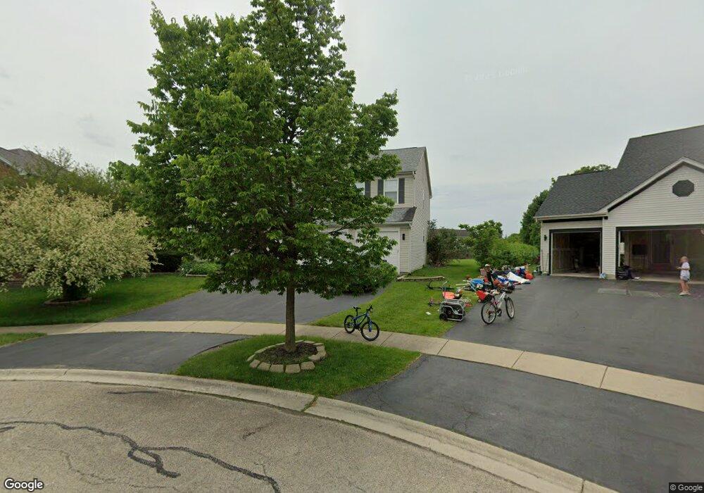
2064 Mark Cir Unit 1 Bolingbrook, IL 60490
West Bolingbrook NeighborhoodEstimated Value: $540,842 - $605,000
--
Bed
1
Bath
3,214
Sq Ft
$180/Sq Ft
Est. Value
About This Home
This home is located at 2064 Mark Cir Unit 1, Bolingbrook, IL 60490 and is currently estimated at $579,211, approximately $180 per square foot. 2064 Mark Cir Unit 1 is a home located in Will County with nearby schools including Liberty Elementary School, John F Kennedy Middle School, and Plainfield East High School.
Ownership History
Date
Name
Owned For
Owner Type
Purchase Details
Closed on
Mar 19, 2002
Sold by
Bolingbrook Ltd Partnership
Bought by
Groves Michael A and Groves Phyllis K
Current Estimated Value
Home Financials for this Owner
Home Financials are based on the most recent Mortgage that was taken out on this home.
Original Mortgage
$274,626
Outstanding Balance
$113,184
Interest Rate
6.87%
Estimated Equity
$466,027
Create a Home Valuation Report for This Property
The Home Valuation Report is an in-depth analysis detailing your home's value as well as a comparison with similar homes in the area
Home Values in the Area
Average Home Value in this Area
Purchase History
| Date | Buyer | Sale Price | Title Company |
|---|---|---|---|
| Groves Michael A | $289,000 | Stewart Title Company |
Source: Public Records
Mortgage History
| Date | Status | Borrower | Loan Amount |
|---|---|---|---|
| Open | Groves Michael A | $274,626 |
Source: Public Records
Tax History Compared to Growth
Tax History
| Year | Tax Paid | Tax Assessment Tax Assessment Total Assessment is a certain percentage of the fair market value that is determined by local assessors to be the total taxable value of land and additions on the property. | Land | Improvement |
|---|---|---|---|---|
| 2024 | $11,431 | $169,649 | $41,067 | $128,582 |
| 2023 | $11,431 | $149,866 | $36,278 | $113,588 |
| 2022 | $9,340 | $129,720 | $34,318 | $95,402 |
| 2021 | $8,969 | $123,543 | $32,684 | $90,859 |
| 2020 | $8,939 | $121,585 | $32,166 | $89,419 |
| 2019 | $8,894 | $118,158 | $31,259 | $86,899 |
| 2018 | $8,928 | $113,197 | $30,571 | $82,626 |
| 2017 | $8,954 | $110,275 | $29,782 | $80,493 |
| 2016 | $9,107 | $107,901 | $29,141 | $78,760 |
| 2015 | $8,554 | $103,751 | $28,020 | $75,731 |
| 2014 | $8,554 | $98,585 | $28,020 | $70,565 |
| 2013 | $8,554 | $98,585 | $28,020 | $70,565 |
Source: Public Records
Map
Nearby Homes
- 2049 Mark Cir Unit 1
- 2155 Kemmerer Ln Unit 2
- 2151 Kemmerer Ln
- 1314 Danhof Dr
- 2198 Kemmerer Ln
- 2284 Brookstone Dr
- 1221 Winding Way
- 13151 Lake Mary Dr
- 13121 Wood Duck Dr
- 1086 Patricia Dr
- 1078 Trevor Dr
- 12817 S Slate Ln
- Easton Plan at Riverstone - Classic I Series
- Hudson Plan at Riverstone - Classic II Series
- Colton Plan at Riverstone - The Villas
- Ballard Plan at Riverstone - The Villas
- Dunbar Plan at Riverstone - Classic I Series
- Essex Plan at Riverstone - Classic II Series
- Fairchild Plan at Riverstone - Classic II Series
- Lyndale Plan at Riverstone - Classic II Series
- 2060 Mark Cir
- 2068 Mark Cir Unit 1
- 22538 W 127th St Unit 1
- 2072 Mark Cir
- 2056 Mark Cir
- 4 Fairfax Ct
- 2200 Reagan Blvd
- 3 Fairfax Ct
- 2076 Mark Cir Unit 1
- 2052 Mark Cir
- 2069 Mark Cir
- 5 Fairfax Ct
- 2 Fairfax Ct
- 2073 Mark Cir Unit 1
- 2080 Mark Cir
- 2065 Mark Cir Unit 1
- 2048 Mark Cir Unit 1
- 1 Fairfax Ct Unit 2
- 2077 Mark Cir
- 6 Fairfax Ct Unit 2