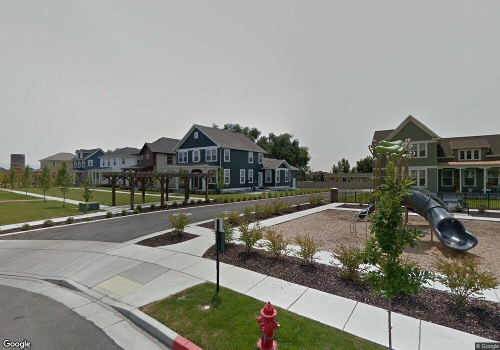
2064 W Phillips St Unit 325 Kaysville, UT 84037
West Kaysville NeighborhoodEstimated Value: $767,000 - $853,000
4
Beds
3
Baths
4,383
Sq Ft
$186/Sq Ft
Est. Value
About This Home
This home is located at 2064 W Phillips St Unit 325, Kaysville, UT 84037 and is currently estimated at $813,709, approximately $185 per square foot. 2064 W Phillips St Unit 325 is a home located in Davis County with nearby schools including Kay's Creek Elementary School, Shoreline Junior High School, and Davis High School.
Ownership History
Date
Name
Owned For
Owner Type
Purchase Details
Closed on
Apr 6, 2017
Sold by
Destination Homes Inc
Bought by
Dain Erin H and Dyches Christopher J
Current Estimated Value
Home Financials for this Owner
Home Financials are based on the most recent Mortgage that was taken out on this home.
Original Mortgage
$342,900
Outstanding Balance
$284,272
Interest Rate
4.16%
Mortgage Type
New Conventional
Estimated Equity
$529,437
Purchase Details
Closed on
Aug 25, 2016
Sold by
Destination Homes Inc
Bought by
Mountain View Title & Escrow Inc and Golden Land Management Inc
Create a Home Valuation Report for This Property
The Home Valuation Report is an in-depth analysis detailing your home's value as well as a comparison with similar homes in the area
Home Values in the Area
Average Home Value in this Area
Purchase History
| Date | Buyer | Sale Price | Title Company |
|---|---|---|---|
| Dain Erin H | -- | -- | |
| Mountain View Title & Escrow Inc | -- | Mountain View Title |
Source: Public Records
Mortgage History
| Date | Status | Borrower | Loan Amount |
|---|---|---|---|
| Open | Dain Erin H | $342,900 |
Source: Public Records
Tax History Compared to Growth
Tax History
| Year | Tax Paid | Tax Assessment Tax Assessment Total Assessment is a certain percentage of the fair market value that is determined by local assessors to be the total taxable value of land and additions on the property. | Land | Improvement |
|---|---|---|---|---|
| 2025 | $3,781 | $416,900 | $173,836 | $243,064 |
| 2024 | $3,781 | $398,750 | $144,959 | $253,791 |
| 2023 | $3,845 | $718,000 | $275,401 | $442,599 |
| 2022 | $3,895 | $408,100 | $151,521 | $256,579 |
| 2021 | $3,446 | $541,000 | $163,674 | $377,326 |
| 2020 | $3,296 | $504,000 | $137,107 | $366,893 |
| 2019 | $3,203 | $481,000 | $149,492 | $331,508 |
| 2018 | $3,073 | $460,000 | $121,518 | $338,482 |
Source: Public Records
Map
Nearby Homes
- 2056 W Phillips St
- 1071 Shoreline Dr
- 1042 W Shoreline Dr
- 774 W Farming Way
- 2095 W 200 N
- 34 S Preston St
- Brinton Signature Plan at Pintail Estates
- 1441 Bridgeview Dr
- 1910 W Bonneville Ln
- 2234 Burkhill Place Unit 425
- 256 Seemore Dr
- 37 S Preston St Unit 10
- 562 S 850 W
- 1845 W Sherri Ln
- 557 S Angel St
- 71 S Harvs Ln
- Spruce Pantry Plan at West Gate
- Ash Plan at West Gate
- Willow Plus Plan at West Gate
- Sequoia Plan at West Gate
- 2064 W Phillips St
- 2068 W Phillips St Unit 324
- 2068 W Phillips St
- 519 N Richards Ramble Rd
- 2072 W Phillips St Unit 254
- 2076 W Phillips St
- 2060 W Phillips St Unit 322
- 2060 W Phillips St
- 527 N Richards Ramble Rd
- 2056 Phillips St
- 442 N Angel St
- 2052 W Phillips St Unit 253
- 2169 W Richards Ramble Rd
- 2080 W Phillips St
- 432 N Angel St
- 2048 W Phillips St
- 520 N Richards Ramble Rd
- 2044 W Phillips St Unit 251
- 2181 W Richards Ramble Rd
- 527 N Hill Farms Ln