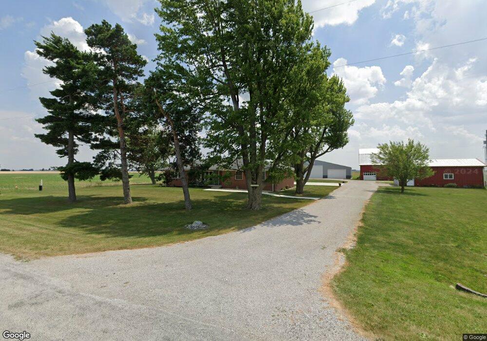
20645 Hoytville Rd Deshler, OH 43516
Estimated Value: $298,000 - $837,690
3
Beds
2
Baths
2,293
Sq Ft
$248/Sq Ft
Est. Value
About This Home
This home is located at 20645 Hoytville Rd, Deshler, OH 43516 and is currently estimated at $567,845, approximately $247 per square foot. 20645 Hoytville Rd is a home located in Wood County with nearby schools including McComb Elementary School, McComb Middle School, and Mccomb Local High School.
Ownership History
Date
Name
Owned For
Owner Type
Purchase Details
Closed on
Feb 24, 2021
Sold by
Moore Deborah A and Moore David
Bought by
Dennis Memorial Farms Llc
Current Estimated Value
Purchase Details
Closed on
May 4, 2017
Sold by
Moore Deborah A
Bought by
Moore Sdeborah A
Purchase Details
Closed on
Dec 21, 2016
Sold by
Moore Deborah A
Bought by
Moore Deborah A
Purchase Details
Closed on
Oct 22, 1990
Bought by
Dennis Donald P
Create a Home Valuation Report for This Property
The Home Valuation Report is an in-depth analysis detailing your home's value as well as a comparison with similar homes in the area
Home Values in the Area
Average Home Value in this Area
Purchase History
| Date | Buyer | Sale Price | Title Company |
|---|---|---|---|
| Dennis Memorial Farms Llc | -- | -- | |
| Moore Sdeborah A | -- | None Available | |
| Moore Deborah A | -- | None Available | |
| Dennis Donald P | -- | -- |
Source: Public Records
Tax History Compared to Growth
Tax History
| Year | Tax Paid | Tax Assessment Tax Assessment Total Assessment is a certain percentage of the fair market value that is determined by local assessors to be the total taxable value of land and additions on the property. | Land | Improvement |
|---|---|---|---|---|
| 2024 | $6,107 | $282,555 | $210,560 | $71,995 |
| 2023 | $6,107 | $282,560 | $210,560 | $72,000 |
| 2021 | $4,624 | $239,970 | $181,900 | $58,070 |
| 2020 | $4,719 | $239,970 | $181,900 | $58,070 |
| 2019 | $5,508 | $199,710 | $146,930 | $52,780 |
| 2018 | $5,367 | $199,710 | $146,930 | $52,780 |
| 2017 | $4,389 | $181,230 | $146,930 | $34,300 |
| 2016 | $4,721 | $145,920 | $111,580 | $34,340 |
| 2015 | $4,721 | $145,920 | $111,580 | $34,340 |
| 2014 | $4,964 | $145,920 | $111,580 | $34,340 |
| 2013 | $2,951 | $116,480 | $85,260 | $31,220 |
Source: Public Records
Map
Nearby Homes
- 687 State Route 235
- 1381 County Road 5
- 4134 County Road 203
- D273 Co Rd 1
- 20236 Jerry City Rd
- 1403 County Road D
- 139 S Lind St
- 223 Cherry St
- 207 N Todd St
- 429 N Park St
- 126 S Keyser Ave
- 224 S Keyser Ave
- 320 S Keyser Ave
- 330 W Elm St
- 408 W Elm St
- 508 W Walnut St
- 0 Joshua Rd Unit 6126475
- 527 W Maple St
- 114 N Harvest Dr
- 117 Meadow Ln
- 20598 Hoytville Rd
- 20421 Hoytville Rd
- 20983 Hoytville Rd
- 20314 W Church St W
- 20234 Church St W
- 20218 Church St W
- 20204 E Church St
- 0 W Church St W
- 20176 Church St W
- 20156 Hoytville Rd
- 20521 Reigle Rd
- 0 W Church St W
- 20146 W Church St
- 20145 E Church St
- 20366 Reigle Rd
- 20130 W Mulberry St
- 0 W Church St W
- 2541 Hickory St
- 20191 W Church St
- 20145 W Church St