20645 S Carlsborg Rd Colton, OR 97017
Estimated Value: $460,880 - $721,000
3
Beds
2
Baths
2,022
Sq Ft
$293/Sq Ft
Est. Value
About This Home
This home is located at 20645 S Carlsborg Rd, Colton, OR 97017 and is currently estimated at $591,720, approximately $292 per square foot. 20645 S Carlsborg Rd is a home located in Clackamas County with nearby schools including Colton Elementary School, Colton Middle School, and Colton High School.
Ownership History
Date
Name
Owned For
Owner Type
Purchase Details
Closed on
Jul 28, 2003
Sold by
Hardin Tristana E
Bought by
Farkas Hudson Michael Gregory and Farkas Hudson Ellen
Current Estimated Value
Purchase Details
Closed on
May 24, 1996
Sold by
Matiaco Steven P and Jungwirth John
Bought by
Hardin Tristana E
Home Financials for this Owner
Home Financials are based on the most recent Mortgage that was taken out on this home.
Original Mortgage
$109,900
Interest Rate
7.97%
Purchase Details
Closed on
Jan 19, 1996
Sold by
Anderson Harold E
Bought by
Matiaco Steven P and Jungwirth John
Create a Home Valuation Report for This Property
The Home Valuation Report is an in-depth analysis detailing your home's value as well as a comparison with similar homes in the area
Home Values in the Area
Average Home Value in this Area
Purchase History
| Date | Buyer | Sale Price | Title Company |
|---|---|---|---|
| Farkas Hudson Michael Gregory | $225,000 | Fidelity Natl Title Co Of Or | |
| Hardin Tristana E | $159,900 | Chicago Title Insurance Co | |
| Matiaco Steven P | $180,000 | Chicago Title Insurance Co |
Source: Public Records
Mortgage History
| Date | Status | Borrower | Loan Amount |
|---|---|---|---|
| Previous Owner | Hardin Tristana E | $109,900 |
Source: Public Records
Tax History Compared to Growth
Tax History
| Year | Tax Paid | Tax Assessment Tax Assessment Total Assessment is a certain percentage of the fair market value that is determined by local assessors to be the total taxable value of land and additions on the property. | Land | Improvement |
|---|---|---|---|---|
| 2025 | $1,482 | $119,857 | -- | -- |
| 2024 | $1,483 | $116,371 | -- | -- |
| 2023 | $1,483 | $112,983 | $0 | $0 |
| 2022 | $1,395 | $109,691 | $0 | $0 |
| 2021 | $1,331 | $106,492 | $0 | $0 |
| 2020 | $1,264 | $103,389 | $0 | $0 |
| 2019 | $1,222 | $100,381 | $0 | $0 |
| 2018 | $1,171 | $97,463 | $0 | $0 |
| 2017 | $1,098 | $92,234 | $0 | $0 |
| 2016 | $999 | $84,002 | $0 | $0 |
| 2015 | $910 | $75,697 | $0 | $0 |
| 2014 | $814 | $70,251 | $0 | $0 |
Source: Public Records
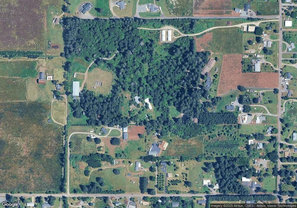
Map
Nearby Homes
- 30725 S Wall St
- 30811 S Oswalt Rd
- 29882 S Hult Rd
- 19807 S Highway 211
- 19345 S Rockney Rd
- 30886 S Marian St
- 30850 S Marian St
- 19400 S Frank Rd
- 32553 S Dhooghe Rd
- 18247 S Highway 211
- 18215 Oregon 211
- 18863 S Norry Ct
- 22816 S Bonney Rd
- 0 S Hult Rd
- 23456 S Schieffer Rd
- 27882 S Mote Ln
- 29555 S Beavercreek Rd
- 23533 S Bonney Rd
- 19498 S Ramsby Rd
- 16290 S Riverview Rd
- 30880 S Oswalt Rd
- 30898 S Oswalt Rd
- 30900 S Oswalt Rd
- 30896 S Oswalt Rd
- 30725 S Wall St Unit Lot 3
- 30725 S Wall St Unit Lot 2
- 30725 S Wall St Unit Lot 1
- 30725 S Wall St Unit Lot 5
- 30725 S Wall St Unit Lot 4
- 20575 S Carlsborg Rd
- 30835 S Wall St
- 30685 S Wall St
- 20613 S Freds Way
- 30815 S Wall St
- 30911 S Oswalt Rd
- 20649 S Freds Way
- 20583 S Freds Way
- 30906 S Oswalt Rd
- 30866 S Oswalt Rd
- 30899 S Oswalt Rd