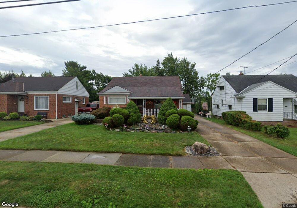
20648 Applegate Rd Maple Heights, OH 44137
Estimated Value: $109,000 - $154,000
4
Beds
2
Baths
1,647
Sq Ft
$84/Sq Ft
Est. Value
About This Home
This home is located at 20648 Applegate Rd, Maple Heights, OH 44137 and is currently estimated at $138,291, approximately $83 per square foot. 20648 Applegate Rd is a home located in Cuyahoga County with nearby schools including Abraham Lincoln Elementary School, Rockside/ J.F. Kennedy School, and Barack Obama School.
Ownership History
Date
Name
Owned For
Owner Type
Purchase Details
Closed on
Oct 31, 1990
Sold by
Butram Edward G
Bought by
Washington Terence C
Current Estimated Value
Purchase Details
Closed on
Dec 31, 1979
Sold by
Butram Edward G and Butram Mary J
Bought by
Butram Edward G
Purchase Details
Closed on
Jan 1, 1975
Bought by
Butram Edward G and Butram Mary J
Create a Home Valuation Report for This Property
The Home Valuation Report is an in-depth analysis detailing your home's value as well as a comparison with similar homes in the area
Home Values in the Area
Average Home Value in this Area
Purchase History
| Date | Buyer | Sale Price | Title Company |
|---|---|---|---|
| Washington Terence C | $73,100 | -- | |
| Butram Edward G | -- | -- | |
| Butram Edward G | -- | -- |
Source: Public Records
Tax History
| Year | Tax Paid | Tax Assessment Tax Assessment Total Assessment is a certain percentage of the fair market value that is determined by local assessors to be the total taxable value of land and additions on the property. | Land | Improvement |
|---|---|---|---|---|
| 2024 | $4,207 | $47,670 | $7,000 | $40,670 |
| 2023 | $3,016 | $28,980 | $4,620 | $24,360 |
| 2022 | $3,005 | $28,980 | $4,620 | $24,360 |
| 2021 | $3,208 | $28,980 | $4,620 | $24,360 |
| 2020 | $2,729 | $21,950 | $3,500 | $18,450 |
| 2019 | $2,715 | $62,700 | $10,000 | $52,700 |
| 2018 | $2,590 | $21,950 | $3,500 | $18,450 |
| 2017 | $2,668 | $21,150 | $3,470 | $17,680 |
| 2016 | $2,580 | $21,150 | $3,470 | $17,680 |
| 2015 | $2,598 | $21,150 | $3,470 | $17,680 |
| 2014 | $2,598 | $23,250 | $3,820 | $19,430 |
Source: Public Records
Map
Nearby Homes
- 339 Grand Blvd
- 19113 Watercrest Ave
- 123 Willard Ave
- 54 Willard Ave
- 419 Center Rd
- 66 Hubbell Way
- 58 Hubbell Way
- 62 Hubbell Way
- 54 Hubbell Way
- 0 Hubbell Cir
- 61 Hubbell Way
- 57 Hubbell Way
- 21202 Gardenview Dr
- 21607 Libby Rd
- 20806 Clare Ave
- 19289 Stafford Ave
- 5424 Fairtree Rd
- 21202 Hillgrove Ave
- 131 Noran Cir
- 5147 Warrensville Center Rd
- 20652 Applegate Rd
- 20644 Applegate Rd
- 20656 Applegate Rd
- 20640 Applegate Rd
- 20647 Donny Brook Rd
- 20651 Donny Brook Rd
- 20643 Donny Brook Rd
- 20636 Applegate Rd
- 20660 Applegate Rd
- 20647 Applegate Rd
- 20655 Donny Brook Rd
- 20639 Donny Brook Rd
- 20638 Bowling Green Rd
- 20651 Applegate Rd
- 20655 Applegate Rd
- 20632 Applegate Rd
- 20659 Donny Brook Rd
- 20635 Donny Brook Rd
- 20664 Applegate Rd
- 20642 Bowling Green Rd
Your Personal Tour Guide
Ask me questions while you tour the home.